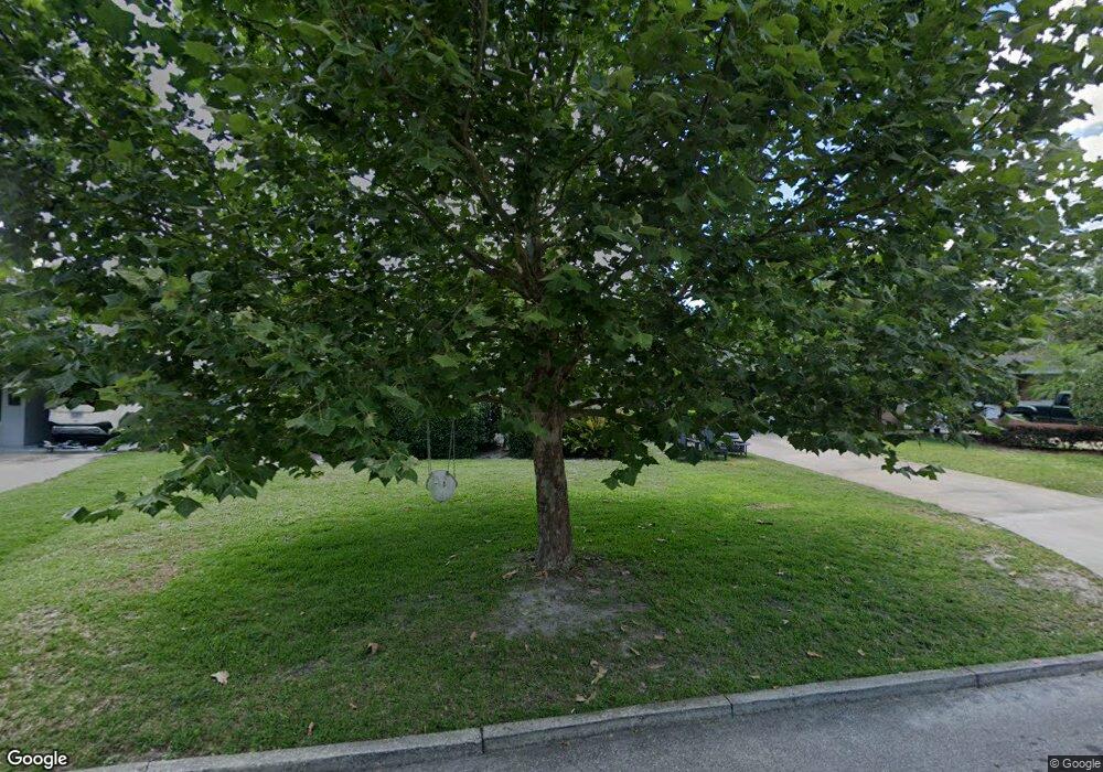
615 Byron Rd Winter Park, FL 32792
Estimated Value: $421,000 - $469,000
3
Beds
2
Baths
1,535
Sq Ft
$287/Sq Ft
Est. Value
About This Home
This home is located at 615 Byron Rd, Winter Park, FL 32792 and is currently estimated at $441,021, approximately $287 per square foot. 615 Byron Rd is a home located in Orange County with nearby schools including Lakemont Elementary, Maitland Middle School, and Winter Park High.
Ownership History
Date
Name
Owned For
Owner Type
Purchase Details
Closed on
May 5, 2005
Sold by
Welwyn Management Co
Bought by
Hoats Carol Ann
Current Estimated Value
Home Financials for this Owner
Home Financials are based on the most recent Mortgage that was taken out on this home.
Original Mortgage
$53,400
Interest Rate
5.66%
Mortgage Type
Credit Line Revolving
Purchase Details
Closed on
Mar 2, 1998
Sold by
Livingston Andrew J and Livingston Ingrid L
Bought by
Welwyn Management Company
Purchase Details
Closed on
Sep 20, 1995
Sold by
Shapiro Barbara J and Shapiro David
Bought by
Livingston Andrew J and Livingston Ingrid L
Home Financials for this Owner
Home Financials are based on the most recent Mortgage that was taken out on this home.
Original Mortgage
$93,000
Interest Rate
7.74%
Create a Home Valuation Report for This Property
The Home Valuation Report is an in-depth analysis detailing your home's value as well as a comparison with similar homes in the area
Home Values in the Area
Average Home Value in this Area
Purchase History
| Date | Buyer | Sale Price | Title Company |
|---|---|---|---|
| Hoats Carol Ann | $267,000 | Total Trust Title Inc | |
| Welwyn Management Company | $122,500 | -- | |
| Livingston Andrew J | $105,000 | -- |
Source: Public Records
Mortgage History
| Date | Status | Borrower | Loan Amount |
|---|---|---|---|
| Closed | Hoats Carol Ann | $53,400 | |
| Open | Hoats Carol Ann | $213,600 | |
| Previous Owner | Livingston Andrew J | $93,000 |
Source: Public Records
Tax History Compared to Growth
Tax History
| Year | Tax Paid | Tax Assessment Tax Assessment Total Assessment is a certain percentage of the fair market value that is determined by local assessors to be the total taxable value of land and additions on the property. | Land | Improvement |
|---|---|---|---|---|
| 2025 | $4,921 | $328,160 | $225,000 | $103,160 |
| 2024 | $4,271 | $321,129 | -- | -- |
| 2023 | $4,271 | $265,395 | $175,000 | $90,395 |
| 2022 | $3,847 | $250,664 | $175,000 | $75,664 |
| 2021 | $3,553 | $225,291 | $165,000 | $60,291 |
| 2020 | $3,396 | $220,506 | $165,000 | $55,506 |
| 2019 | $3,621 | $225,956 | $165,000 | $60,956 |
| 2018 | $3,413 | $215,242 | $162,000 | $53,242 |
| 2017 | $3,207 | $203,923 | $150,000 | $53,923 |
| 2016 | $3,073 | $204,275 | $150,000 | $54,275 |
| 2015 | $2,589 | $149,443 | $68,000 | $81,443 |
| 2014 | $2,632 | $152,231 | $68,000 | $84,231 |
Source: Public Records
Map
Nearby Homes
- 1921 Taylor Ave
- 1871 Taylor Ave
- 1861 Taylor Ave
- 1840 Bryan Ave
- 1771 Taylor Ave
- 1760 Bryan Ave
- 1770 Bryan Ave
- 2411 Gallery View Dr Unit 5
- 785 N Phelps Ave
- 0 Aloma Ave
- 1740 Anzle Ave
- 2260 Hawick Ln
- 1571 Lasbury Ave
- 1822 Greenwich Ave
- 1560 Woodland Ave
- 1660 Palmer Ave
- 1781 Pine Ave
- 1780 Mizell Ave
- 132 Burks Cir
- 229 S Edinburgh Dr
- 531 Byron Rd
- 612 Glenarden Rd
- 618 Glenarden Rd
- 530 Glenarden Rd
- 525 Byron Rd
- 612 Byron Rd
- 625 Byron Rd
- 624 Glenarden Rd
- 524 Glenarden Rd
- 530 Byron Rd
- 2001 Byron Rd
- 519 Byron Rd
- 630 Glenarden Rd
- 518 Glenarden Rd
- 2012 Byron Rd
- 2007 Byron Rd
- 518 Byron Rd
- 613 Glenarden Rd
- 531 Glenarden Rd
- 619 Glenarden Rd
