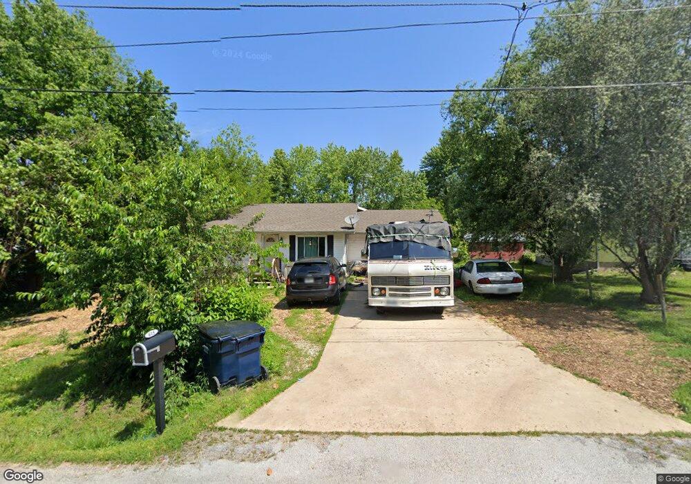
615 Hooker Dr Buffalo, MO 65622
Estimated Value: $155,000 - $232,000
Studio
--
Bath
1,792
Sq Ft
$102/Sq Ft
Est. Value
About This Home
This home is located at 615 Hooker Dr, Buffalo, MO 65622 and is currently estimated at $182,705, approximately $101 per square foot. 615 Hooker Dr is a home with nearby schools including Buffalo High School.
Ownership History
Date
Name
Owned For
Owner Type
Purchase Details
Closed on
Jun 25, 2007
Sold by
Blecher John W
Bought by
Bilas Raymond A
Current Estimated Value
Home Financials for this Owner
Home Financials are based on the most recent Mortgage that was taken out on this home.
Original Mortgage
$51,033
Outstanding Balance
$31,075
Interest Rate
6.37%
Mortgage Type
FHA
Estimated Equity
$151,630
Purchase Details
Closed on
Dec 29, 2005
Sold by
Birdwell Michael J and Birdwell Leroy
Bought by
John W Blecher Revocable Living Trust
Create a Home Valuation Report for This Property
The Home Valuation Report is an in-depth analysis detailing your home's value as well as a comparison with similar homes in the area
Home Values in the Area
Average Home Value in this Area
Purchase History
| Date | Buyer | Sale Price | Title Company |
|---|---|---|---|
| Bilas Raymond A | -- | None Available | |
| John W Blecher Revocable Living Trust | -- | None Available |
Source: Public Records
Mortgage History
| Date | Status | Borrower | Loan Amount |
|---|---|---|---|
| Open | Bilas Raymond A | $51,033 |
Source: Public Records
Tax History
| Year | Tax Paid | Tax Assessment Tax Assessment Total Assessment is a certain percentage of the fair market value that is determined by local assessors to be the total taxable value of land and additions on the property. | Land | Improvement |
|---|---|---|---|---|
| 2025 | $856 | $19,250 | $0 | $0 |
| 2024 | $780 | $18,930 | $0 | $0 |
| 2023 | $771 | $17,390 | $0 | $0 |
| 2022 | $729 | $18,000 | $0 | $0 |
| 2021 | $729 | $16,290 | $0 | $0 |
| 2020 | $728 | $16,290 | $0 | $0 |
| 2019 | $729 | $16,290 | $0 | $0 |
| 2018 | $594 | $14,920 | $0 | $0 |
| 2017 | $594 | $14,920 | $0 | $0 |
| 2016 | $597 | $16,360 | $0 | $0 |
| 2015 | -- | $14,970 | $0 | $0 |
| 2014 | -- | $10,850 | $0 | $0 |
Source: Public Records
Map
Nearby Homes
Your Personal Tour Guide
Ask me questions while you tour the home.