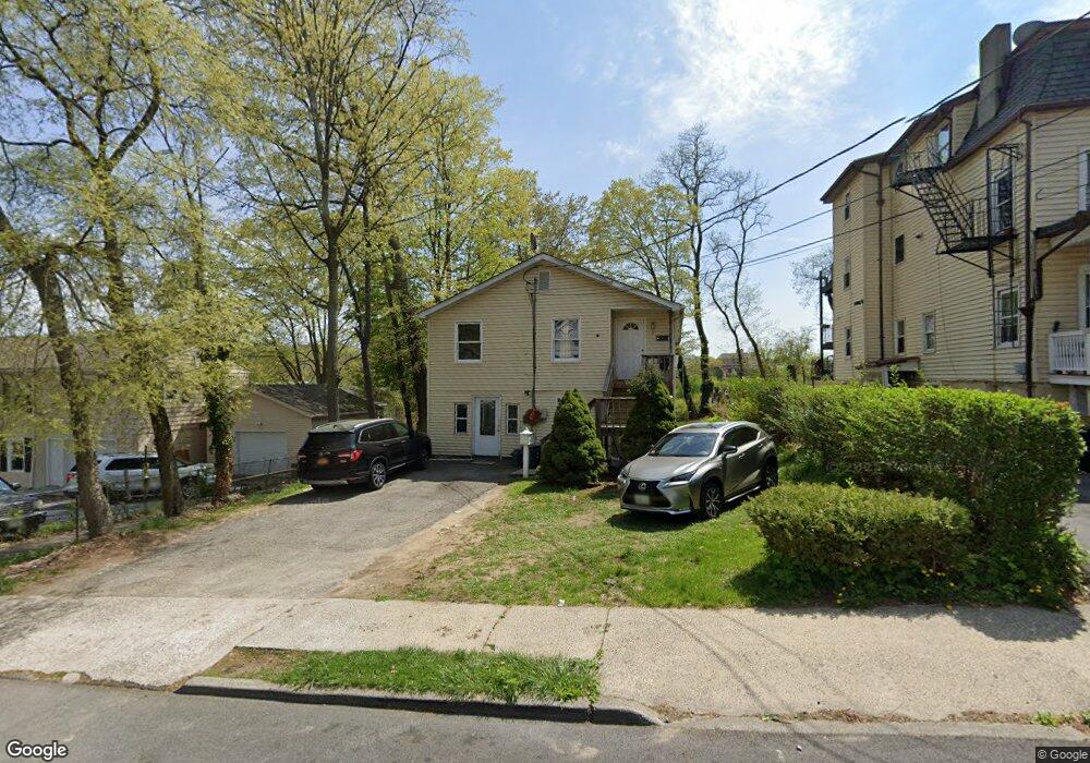
615 John St Peekskill, NY 10566
Estimated Value: $467,000 - $647,000
Studio
--
Bath
--
Sq Ft
7,318
Sq Ft Lot
About This Home
This home is located at 615 John St, Peekskill, NY 10566 and is currently estimated at $569,897. 615 John St is a home located in Westchester County with nearby schools including Oakside School, Woodside Elementary School, and Hillcrest School.
Ownership History
Date
Name
Owned For
Owner Type
Purchase Details
Closed on
Nov 21, 2022
Sold by
John Dunbar C
Bought by
Compton Erica D
Current Estimated Value
Purchase Details
Closed on
Jun 26, 2009
Sold by
John Dunbar C and Mc Lean Christine
Bought by
John Dunbar C
Purchase Details
Closed on
Sep 30, 2008
Sold by
John Dunbar C
Bought by
John Dunbar C and Mclean Christine
Purchase Details
Closed on
Feb 18, 2000
Sold by
Pitt H Clifford
Bought by
James Delroy
Create a Home Valuation Report for This Property
The Home Valuation Report is an in-depth analysis detailing your home's value as well as a comparison with similar homes in the area
Home Values in the Area
Average Home Value in this Area
Purchase History
| Date | Buyer | Sale Price | Title Company |
|---|---|---|---|
| Compton Erica D | -- | Judicial Title | |
| John Dunbar C | -- | None Available | |
| John Dunbar C | -- | The Judicial Title Insurance | |
| James Delroy | -- | The Title Guarantee Company | |
| James Delroy | -- | The Title Guarantee Company | |
| James Delroy | -- | The Title Guarantee Company |
Source: Public Records
Tax History
| Year | Tax Paid | Tax Assessment Tax Assessment Total Assessment is a certain percentage of the fair market value that is determined by local assessors to be the total taxable value of land and additions on the property. | Land | Improvement |
|---|---|---|---|---|
| 2024 | $11,516 | $7,900 | $1,200 | $6,700 |
| 2023 | $9,974 | $7,900 | $1,200 | $6,700 |
| 2022 | $8,006 | $7,900 | $1,200 | $6,700 |
| 2021 | $9,318 | $7,900 | $1,200 | $6,700 |
| 2020 | $7,042 | $7,900 | $1,200 | $6,700 |
| 2019 | $6,642 | $7,900 | $1,200 | $6,700 |
| 2018 | $1,588 | $7,900 | $1,200 | $6,700 |
| 2017 | $3,280 | $7,900 | $1,200 | $6,700 |
| 2016 | $5,757 | $7,900 | $1,200 | $6,700 |
| 2015 | $2,744 | $7,900 | $1,200 | $6,700 |
| 2014 | $2,744 | $7,900 | $1,200 | $6,700 |
| 2013 | $2,744 | $7,900 | $1,200 | $6,700 |
Source: Public Records
Map
Nearby Homes
- 710 Main St
- 108 Union Ave
- 956 Paulding St
- 925 Constant Ave
- 1 Lakeview Dr Unit LL5
- 728 Frost Ave
- 1106 Orchard St
- 1204 Main St
- 357 Dyckman St
- 334 Union Ave
- 9 N James St Unit B
- 8 N James St Unit G
- 669 N Division St
- 414 Highridge Ct
- 964 Pemart Ave
- 16 Waterview Estate
- 530 Dyckman St
- 974 Main St
- 213 Riverbend Dr
- 150 Overlook Ave Unit 4L
Your Personal Tour Guide
Ask me questions while you tour the home.