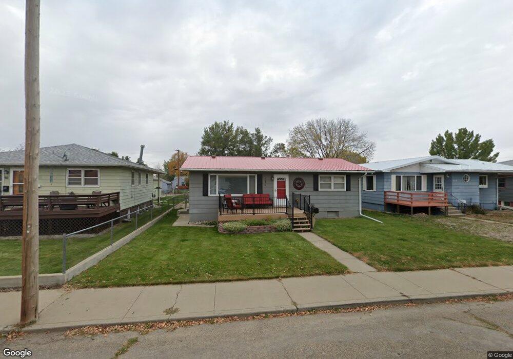
615 N Taylor Ave Glendive, MT 59330
Estimated Value: $250,000 - $298,000
4
Beds
2
Baths
1,352
Sq Ft
$207/Sq Ft
Est. Value
About This Home
This home is located at 615 N Taylor Ave, Glendive, MT 59330 and is currently estimated at $280,198, approximately $207 per square foot. 615 N Taylor Ave is a home located in Dawson County with nearby schools including Jefferson Elementary School, Lincoln School, and Washington Middle School.
Ownership History
Date
Name
Owned For
Owner Type
Purchase Details
Closed on
Feb 21, 2020
Sold by
Mittlestadt Angela J
Bought by
Saunders Keith R
Current Estimated Value
Home Financials for this Owner
Home Financials are based on the most recent Mortgage that was taken out on this home.
Original Mortgage
$188,100
Outstanding Balance
$166,549
Interest Rate
3.6%
Mortgage Type
Construction
Estimated Equity
$113,649
Purchase Details
Closed on
Aug 31, 2016
Bought by
Mittlestadt Angela J
Home Financials for this Owner
Home Financials are based on the most recent Mortgage that was taken out on this home.
Original Mortgage
$117,454
Interest Rate
3.45%
Mortgage Type
New Conventional
Purchase Details
Closed on
Sep 29, 1989
Bought by
Mittlestadt Steven R and Mittlestadt Angela J
Create a Home Valuation Report for This Property
The Home Valuation Report is an in-depth analysis detailing your home's value as well as a comparison with similar homes in the area
Home Values in the Area
Average Home Value in this Area
Purchase History
| Date | Buyer | Sale Price | Title Company |
|---|---|---|---|
| Saunders Keith R | $235,125 | First American Title | |
| Mittlestadt Angela J | -- | -- | |
| Mittlestadt Steven R | -- | -- |
Source: Public Records
Mortgage History
| Date | Status | Borrower | Loan Amount |
|---|---|---|---|
| Open | Saunders Keith R | $188,100 | |
| Previous Owner | Mittlestadt Angela J | $117,454 | |
| Closed | Mittlestadt Angela J | $119,000 |
Source: Public Records
Tax History Compared to Growth
Tax History
| Year | Tax Paid | Tax Assessment Tax Assessment Total Assessment is a certain percentage of the fair market value that is determined by local assessors to be the total taxable value of land and additions on the property. | Land | Improvement |
|---|---|---|---|---|
| 2025 | $1,568 | $210,900 | $0 | $0 |
| 2024 | $3,068 | $210,500 | $0 | $0 |
| 2023 | $2,868 | $210,500 | $0 | $0 |
| 2022 | $2,179 | $155,100 | $0 | $0 |
| 2021 | $1,694 | $155,100 | $0 | $0 |
| 2020 | $1,679 | $128,100 | $0 | $0 |
| 2019 | $1,709 | $128,100 | $0 | $0 |
| 2018 | $2,302 | $190,900 | $0 | $0 |
| 2017 | $2,238 | $190,900 | $0 | $0 |
| 2016 | $1,990 | $160,400 | $0 | $0 |
| 2015 | $1,978 | $160,400 | $0 | $0 |
| 2014 | $1,191 | $54,060 | $0 | $0 |
Source: Public Records
Map
Nearby Homes
- 619 N Taylor Ave
- 611 N Taylor Ave
- 621 N Taylor Ave
- 519 E Dodge St
- 616 N Taylor Ave
- 616 N Nowlan Ave
- 620 N Nowlan Ave
- 610 N Nowlan Ave
- 622 N Nowlan Ave
- 602 N Taylor Ave
- 503 E Dodge St
- 701 Windham Square
- 703 Windham Square
- 605 E Dodge St
- 604 N Nowlan Ave
- 512 E Dodge St
- 517 N Taylor Ave
- 741 Windham Square
- 607 E Dodge St
- 522 N Nowlan Ave