615 Osburn Rd Chickamauga, GA 30707
Estimated Value: $288,000 - $362,000
--
Bed
2
Baths
1,794
Sq Ft
$178/Sq Ft
Est. Value
About This Home
This home is located at 615 Osburn Rd, Chickamauga, GA 30707 and is currently estimated at $319,062, approximately $177 per square foot. 615 Osburn Rd is a home located in Walker County with nearby schools including Cherokee Ridge Elementary School, Rossville Middle School, and Ridgeland High School.
Ownership History
Date
Name
Owned For
Owner Type
Purchase Details
Closed on
May 12, 2003
Sold by
Beagles Mack
Bought by
Kay Stanley and Karen Kay
Current Estimated Value
Purchase Details
Closed on
Jul 20, 1999
Sold by
Wallin Grady
Bought by
Beagles Mack
Purchase Details
Closed on
Jan 1, 1972
Bought by
Wallin Grady
Create a Home Valuation Report for This Property
The Home Valuation Report is an in-depth analysis detailing your home's value as well as a comparison with similar homes in the area
Home Values in the Area
Average Home Value in this Area
Purchase History
| Date | Buyer | Sale Price | Title Company |
|---|---|---|---|
| Kay Stanley | -- | -- | |
| Beagles Mack | $20,000 | -- | |
| Wallin Grady | -- | -- |
Source: Public Records
Tax History Compared to Growth
Tax History
| Year | Tax Paid | Tax Assessment Tax Assessment Total Assessment is a certain percentage of the fair market value that is determined by local assessors to be the total taxable value of land and additions on the property. | Land | Improvement |
|---|---|---|---|---|
| 2024 | $1,271 | $127,283 | $7,573 | $119,710 |
| 2023 | $1,960 | $120,640 | $6,762 | $113,878 |
| 2022 | $1,698 | $102,674 | $3,603 | $99,071 |
| 2021 | $2,299 | $84,433 | $3,603 | $80,830 |
| 2020 | $1,991 | $69,894 | $3,603 | $66,291 |
| 2019 | $2,027 | $69,894 | $3,603 | $66,291 |
| 2018 | $1,849 | $69,894 | $3,603 | $66,291 |
| 2017 | $2,220 | $69,894 | $3,603 | $66,291 |
| 2016 | $1,791 | $69,894 | $3,603 | $66,291 |
| 2015 | $1,990 | $73,411 | $3,440 | $69,971 |
| 2014 | $1,867 | $73,411 | $3,440 | $69,971 |
| 2013 | -- | $73,411 | $3,440 | $69,971 |
Source: Public Records
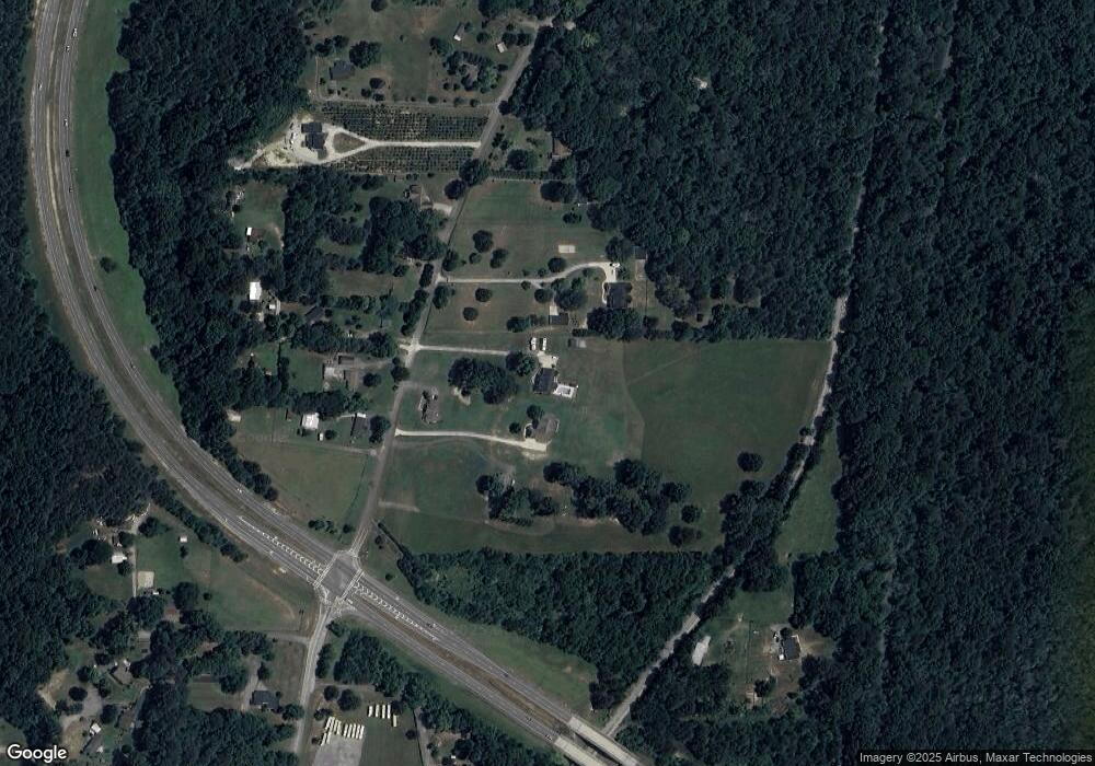
Map
Nearby Homes
- Southport Plan at Cambridge Cove
- Aria Plan at Cambridge Cove
- Bayshore Plan at Cambridge Cove
- 374 Wildewood Trail
- 234 Wilder Rd
- 100 Arlington Dr
- 94 Arlington Dr
- 84 Arlington Dr
- 80 Arlington Dr
- 70 Brogdon Dr
- 191 Haleys Cove Dr
- 801 Thomas Ave
- 1208 Johnson Rd
- 138 Dana Ln
- 309 Longwood St
- 544 Lail Rd
- 633 E Garden Farm Rd
- 74 Lail Rd
- 923 Crest Dr
- 932 Johnson Rd
- 567 Osburn Rd
- 655 Osburn Rd
- 637 Osburn Rd
- 659 Osburn Rd
- 550 Osburn Rd
- 503 Osburn Rd
- 618 Osburn Rd
- 558 Osburn Rd
- 650 Osburn Rd
- 38 Mcbride Dr
- 54 Gassett Dr
- 0 Us Hwy 27 Unit 1132331
- 0 Hwy 27 Unit 1141049
- 0 Us Hwy 27 Unit 1137509
- 0 Hwy 27 Unit 1141599
- 0 Hwy 27 Unit 1193504
- 0 N Hwy 27 Unit RTC2725237
- 0 Hwy 27 Unit 82852
- 0 Hwy 27 Unit 75775
- 0 Hwy 27 Unit 1055876