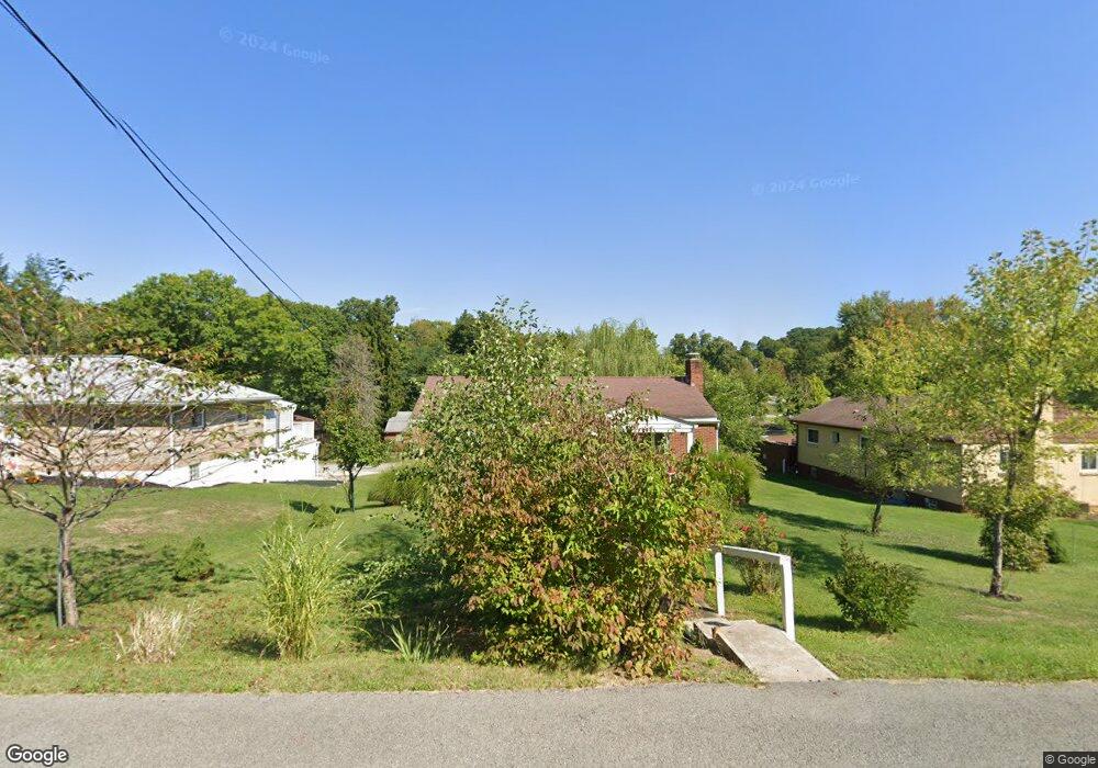
615 Penn Dr Trafford, PA 15085
Penn Township NeighborhoodEstimated Value: $69,453 - $312,000
4
Beds
2
Baths
--
Sq Ft
10,716
Sq Ft Lot
About This Home
This home is located at 615 Penn Dr, Trafford, PA 15085 and is currently estimated at $201,863. 615 Penn Dr is a home located in Westmoreland County with nearby schools including Penn Trafford High School and Mother of Sorrows School.
Ownership History
Date
Name
Owned For
Owner Type
Purchase Details
Closed on
Sep 25, 2017
Sold by
S & T Bank
Bought by
Lanham Lenny
Current Estimated Value
Purchase Details
Closed on
May 17, 2017
Sold by
Clendenen William S and Clendenen Dana M
Bought by
S And T Bank
Purchase Details
Closed on
Nov 9, 2011
Sold by
Zolyak Albert J
Bought by
Clendenen William A and Clendenen Dana M
Home Financials for this Owner
Home Financials are based on the most recent Mortgage that was taken out on this home.
Original Mortgage
$87,600
Interest Rate
4.01%
Mortgage Type
New Conventional
Create a Home Valuation Report for This Property
The Home Valuation Report is an in-depth analysis detailing your home's value as well as a comparison with similar homes in the area
Home Values in the Area
Average Home Value in this Area
Purchase History
| Date | Buyer | Sale Price | Title Company |
|---|---|---|---|
| Lanham Lenny | $84,700 | Pennsylvania Land Title | |
| S And T Bank | $1,545 | None Available | |
| Clendenen William A | $109,500 | None Available |
Source: Public Records
Mortgage History
| Date | Status | Borrower | Loan Amount |
|---|---|---|---|
| Previous Owner | Clendenen William A | $87,600 |
Source: Public Records
Tax History Compared to Growth
Tax History
| Year | Tax Paid | Tax Assessment Tax Assessment Total Assessment is a certain percentage of the fair market value that is determined by local assessors to be the total taxable value of land and additions on the property. | Land | Improvement |
|---|---|---|---|---|
| 2025 | $2,233 | $16,310 | $2,450 | $13,860 |
| 2024 | $2,217 | $16,310 | $2,450 | $13,860 |
| 2023 | $289 | $16,310 | $2,450 | $13,860 |
| 2022 | $2,079 | $16,310 | $2,450 | $13,860 |
| 2021 | $2,062 | $16,310 | $2,450 | $13,860 |
| 2020 | $2,046 | $16,310 | $2,450 | $13,860 |
| 2019 | $1,997 | $16,310 | $2,450 | $13,860 |
| 2018 | $1,940 | $16,310 | $2,450 | $13,860 |
| 2017 | $1,891 | $16,310 | $2,450 | $13,860 |
| 2016 | $1,836 | $16,310 | $2,450 | $13,860 |
| 2015 | $1,836 | $16,310 | $2,450 | $13,860 |
| 2014 | $1,803 | $16,310 | $2,450 | $13,860 |
Source: Public Records
Map
Nearby Homes
- 632 Penn Dr
- 729 State Route 130
- 708 State Route 130
- 1004 Blueridge Ct
- 301 Pine Hollow Rd
- 674 Meadowbrook Rd
- 1015 Noble Pine Ct
- 611 & 611 1/2 Sixth St
- 0 Evergreen (Lot 21-22) Unit 1711486
- 129 Fern Dr
- 1010 1st St
- 117 Plum Dr
- 233 Saunders Station Rd
- 1004 Christina Ct
- 6178 Baker School Rd
- 204 Ridgecrest Ct
- 6411 Ten Point Cir
- 5010 Prides Ct
- 2507 Sarah Ct
- 101 Ardennes Ct