Estimated Value: $93,379 - $143,000
--
Bed
1
Bath
1,056
Sq Ft
$118/Sq Ft
Est. Value
About This Home
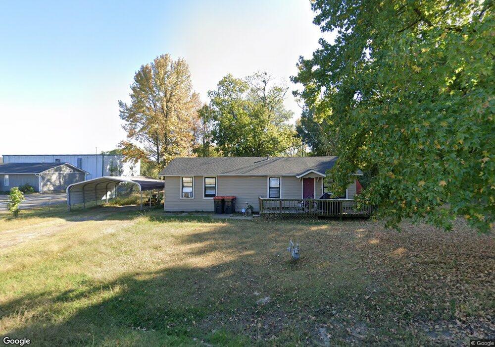
This home is located at 615 Red Hill Rd, Alma, AR 72921 and is currently estimated at $125,095, approximately $118 per square foot. 615 Red Hill Rd is a home located in Crawford County with nearby schools including Alma Primary School, Alma Intermediate School, and Alma Middle School.
Ownership History
Date
Name
Owned For
Owner Type
Purchase Details
Closed on
Nov 4, 2025
Sold by
Henderson Richard D and Henderson Valerie J
Bought by
Rw Brown Properties Llc
Current Estimated Value
Purchase Details
Closed on
Mar 14, 2016
Sold by
Dickey Travis D and Dickey Jennifer M
Bought by
Henderson Richard D and Henderson Valerie J
Home Financials for this Owner
Home Financials are based on the most recent Mortgage that was taken out on this home.
Original Mortgage
$51,120
Interest Rate
3.79%
Mortgage Type
New Conventional
Purchase Details
Closed on
May 29, 2003
Bought by
Cohea-Dickey
Purchase Details
Closed on
May 3, 2001
Bought by
Ellison-Cohea
Create a Home Valuation Report for This Property
The Home Valuation Report is an in-depth analysis detailing your home's value as well as a comparison with similar homes in the area
Home Values in the Area
Average Home Value in this Area
Purchase History
| Date | Buyer | Sale Price | Title Company |
|---|---|---|---|
| Rw Brown Properties Llc | $52,000 | Crawford County Abstract | |
| Henderson Richard D | $63,900 | None Available | |
| Cohea-Dickey | $55,000 | -- | |
| Ellison-Cohea | $10,000 | -- |
Source: Public Records
Mortgage History
| Date | Status | Borrower | Loan Amount |
|---|---|---|---|
| Previous Owner | Henderson Richard D | $51,120 |
Source: Public Records
Tax History Compared to Growth
Tax History
| Year | Tax Paid | Tax Assessment Tax Assessment Total Assessment is a certain percentage of the fair market value that is determined by local assessors to be the total taxable value of land and additions on the property. | Land | Improvement |
|---|---|---|---|---|
| 2025 | $797 | $19,610 | $1,500 | $18,110 |
| 2024 | $735 | $19,610 | $1,500 | $18,110 |
| 2023 | $674 | $19,610 | $1,500 | $18,110 |
| 2022 | $613 | $12,330 | $1,500 | $10,830 |
| 2021 | $613 | $12,330 | $1,500 | $10,830 |
| 2020 | $613 | $12,330 | $1,500 | $10,830 |
| 2019 | $625 | $12,330 | $1,500 | $10,830 |
| 2018 | $594 | $12,330 | $1,500 | $10,830 |
| 2017 | $529 | $10,440 | $1,500 | $8,940 |
| 2016 | $179 | $10,440 | $1,500 | $8,940 |
| 2015 | $179 | $10,440 | $1,500 | $8,940 |
| 2014 | $179 | $10,440 | $1,500 | $8,940 |
Source: Public Records
Map
Nearby Homes
- 1211 Harris Dr
- 1037 Harris Dr
- 308 Emily Dr
- 1322 Riley Cir
- 1736 Riley Cir
- TBD Old Macedonia Rd
- 254 E Main St
- 123 Oak St
- 36 Ash St
- TBD W Cherry St
- 3.42 Acres W Cherry St
- 3300 Eagles Way
- 211 Honeysuckle St
- 133 Honeysuckle St
- 109 Meadors Dr
- 1238 Orrick Rd
- 447 Thicksten Dr
- 1928 Plum Creek Ln
- 0 Interstate 40
- 2417 Highway 64 E
- 603 Red Hill Rd
- 5409 Red Hill Rd
- 0 Red Hill Rd
- 628 Red Hill Rd
- 1511 Airport Rd
- 1602 Airport Rd
- 1429 Harris Dr
- 1422 Airport Rd
- 1437 Airport Rd
- 1423 Harris Dr
- 706 Red Hill Rd
- 1428 Harris Dr
- 1417 Harris Dr
- 1422 Harris Dr
- 1400 Airport Rd
- 1409 Harris Dr
- 1410 Harris Dr
- 1408 Airport Rd
- 1411 Airport Rd
- 1408 Harris Dr