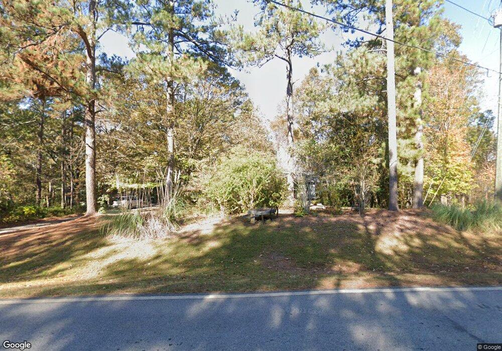
615 Whitaker Rd Lagrange, GA 30240
Estimated Value: $248,530 - $292,000
4
Beds
3
Baths
1,688
Sq Ft
$159/Sq Ft
Est. Value
About This Home
This home is located at 615 Whitaker Rd, Lagrange, GA 30240 and is currently estimated at $267,883, approximately $158 per square foot. 615 Whitaker Rd is a home located in Troup County with nearby schools including Hollis Hand Elementary School, Ethel W. Kight Elementary School, and Franklin Forest Elementary School.
Ownership History
Date
Name
Owned For
Owner Type
Purchase Details
Closed on
Mar 17, 1998
Sold by
Carmack Charles M and Carmack Sheryl D
Bought by
Kalista Richard R and Kalista Cynthia D
Current Estimated Value
Purchase Details
Closed on
Oct 31, 1989
Sold by
Cowart Lawton L and Carmack Sher
Bought by
Carmack Charles M and Carmack Sheryl D
Purchase Details
Closed on
Jan 30, 1987
Sold by
Cowart Lawton L Int
Bought by
Cowart Lawton L and Carmack Sher
Purchase Details
Closed on
Jan 1, 1973
Sold by
Williamson Edgar L
Bought by
Cowart Lawton L Int
Purchase Details
Closed on
Jan 1, 1972
Sold by
Whitaker Chalie R
Bought by
Williamson Edgar L
Create a Home Valuation Report for This Property
The Home Valuation Report is an in-depth analysis detailing your home's value as well as a comparison with similar homes in the area
Purchase History
| Date | Buyer | Sale Price | Title Company |
|---|---|---|---|
| Kalista Richard R | -- | -- | |
| Carmack Charles M | $26,000 | -- | |
| Cowart Lawton L | -- | -- | |
| Cowart Lawton L Int | $33,900 | -- | |
| Williamson Edgar L | -- | -- |
Source: Public Records
Tax History
| Year | Tax Paid | Tax Assessment Tax Assessment Total Assessment is a certain percentage of the fair market value that is determined by local assessors to be the total taxable value of land and additions on the property. | Land | Improvement |
|---|---|---|---|---|
| 2025 | $2,186 | $86,992 | $7,720 | $79,272 |
| 2024 | $1,947 | $73,380 | $7,720 | $65,660 |
| 2023 | $1,444 | $72,856 | $7,720 | $65,136 |
| 2022 | $1,918 | $70,696 | $7,720 | $62,976 |
| 2021 | $1,555 | $53,548 | $7,720 | $45,828 |
| 2020 | $1,555 | $53,548 | $7,720 | $45,828 |
| 2019 | $1,479 | $51,040 | $7,720 | $43,320 |
| 2018 | $1,359 | $47,052 | $7,720 | $39,332 |
| 2017 | $1,359 | $47,052 | $7,720 | $39,332 |
| 2016 | $1,315 | $45,597 | $7,740 | $37,857 |
| 2015 | $1,318 | $45,597 | $7,740 | $37,857 |
| 2014 | $1,260 | $43,605 | $7,740 | $35,865 |
| 2013 | -- | $44,846 | $7,740 | $37,106 |
Source: Public Records
Map
Nearby Homes
- 104 Spring Valley Dr
- 103 Iroquois Dr
- 203 Shawnee Dr
- 112 Brookwood Dr
- 117 Brookwood Dr
- 210 Pinehaven Dr
- 201 Willowcrest Way
- 960 Cameron Mill Rd
- 1000 Foxcroft Dr
- 638 Cameron Mill Rd
- 2005 Foxcroft Dr
- 102 Millridge Dr
- 98 Hearn Rd
- 2010 Foxcroft Dr
- 101 Deal Dr
- 402 Ginger Cir
- 3 Reed Dr
- 116 Deal Dr
- 0 Unit 10514554
- 4004 White Oak Ln
- 601 Whitaker Rd
- 587 Whitaker Rd
- 616 Whitaker Rd
- 610 Seminole Rd
- 571 Whitaker Rd
- 1589 New Franklin Rd
- 608 Seminole Rd
- 700 Underwood Dr
- 201 Lake Forest Dr
- 675 Whitaker Rd Unit Lot 12
- 675 Whitaker Rd
- 606 Seminole Rd
- 203 Lake Forest Dr
- 553 Whitaker Rd
- 550 Whitaker Rd
- 701 Underwood Dr
- 205 Lake Forest Dr
- 702 Underwood Dr
- 691 Whitaker Rd
- 604 Seminole Rd
Your Personal Tour Guide
Ask me questions while you tour the home.