6150 E 129th St Grandview, MO 64030
Estimated Value: $120,000 - $151,000
2
Beds
2
Baths
1,200
Sq Ft
$110/Sq Ft
Est. Value
About This Home
This home is located at 6150 E 129th St, Grandview, MO 64030 and is currently estimated at $132,201, approximately $110 per square foot. 6150 E 129th St is a home located in Jackson County with nearby schools including Conn-West Elementary School, Grandview Middle, and Grandview High School.
Ownership History
Date
Name
Owned For
Owner Type
Purchase Details
Closed on
Apr 24, 1998
Sold by
Hud
Bought by
Ojukwu Matthew A
Current Estimated Value
Home Financials for this Owner
Home Financials are based on the most recent Mortgage that was taken out on this home.
Original Mortgage
$36,349
Outstanding Balance
$6,894
Interest Rate
7.09%
Mortgage Type
FHA
Estimated Equity
$125,307
Purchase Details
Closed on
Sep 23, 1997
Sold by
Atlantic Mortg & Invest Corp
Bought by
Hud
Purchase Details
Closed on
Mar 27, 1997
Sold by
Gerstner Conni S
Bought by
Atlantic Mtg & Investment Corp
Create a Home Valuation Report for This Property
The Home Valuation Report is an in-depth analysis detailing your home's value as well as a comparison with similar homes in the area
Home Values in the Area
Average Home Value in this Area
Purchase History
| Date | Buyer | Sale Price | Title Company |
|---|---|---|---|
| Ojukwu Matthew A | -- | -- | |
| Hud | -- | -- | |
| Atlantic Mtg & Investment Corp | $40,382 | -- |
Source: Public Records
Mortgage History
| Date | Status | Borrower | Loan Amount |
|---|---|---|---|
| Open | Ojukwu Matthew A | $36,349 |
Source: Public Records
Tax History
| Year | Tax Paid | Tax Assessment Tax Assessment Total Assessment is a certain percentage of the fair market value that is determined by local assessors to be the total taxable value of land and additions on the property. | Land | Improvement |
|---|---|---|---|---|
| 2025 | $1,291 | $15,829 | $2,901 | $12,928 |
| 2024 | $1,269 | $15,875 | $825 | $15,050 |
| 2023 | $1,269 | $15,875 | $1,406 | $14,469 |
| 2022 | $1,028 | $11,970 | $922 | $11,048 |
| 2021 | $1,027 | $11,970 | $922 | $11,048 |
| 2020 | $855 | $10,553 | $922 | $9,631 |
| 2019 | $824 | $10,553 | $922 | $9,631 |
| 2018 | $625 | $7,449 | $1,089 | $6,360 |
| 2016 | $622 | $7,263 | $751 | $6,512 |
Source: Public Records
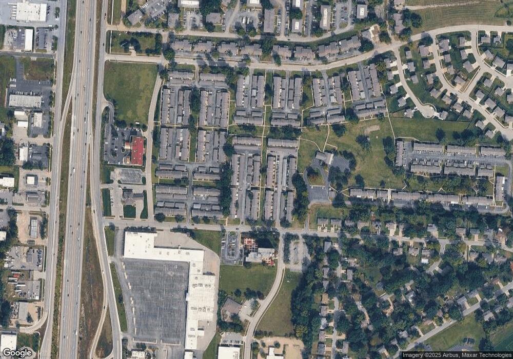
Map
Nearby Homes
- 6042 E 129th St
- 6008 E 129th St
- 5956 E 129th St
- 6014 E 127th St
- 12709 Applewood Dr
- 12701 Applewood Dr
- 6614 E 128th St
- 12200 Craig Dr
- 12608 Craig Ave
- 6705 E 126th St
- 12525 Craig Ave
- 12217 Bennington Ave
- 6905 E 129th St
- 12825 Winchester Ave
- 14925 S U S 71 Hwy
- 12506 Winchester Ave
- 6404 E 133rd Terrace
- 13321 Applewood Dr
- 12802 Grandview Rd
- 12901 Byars Rd
- 6150 E 129th St
- 6148 E 129th St
- 6152 E 129th St
- 6230 E 129th St
- 6228 E 129th St
- 6226 E 129th St
- 6232 E 129th St
- 6158 E 129 St
- 6224 E 129th St
- 6158 E 129th St
- 6128 E 129th St
- 6130 E 129th St
- 6126 E 129th St
- 6222 E 129th St
- 6132 E 129th St
- 6124 E 129th St
- 6146 E 129th St
- 6144 E 129th St
- 6122 E 129th St
- 6142 E 129th St
Your Personal Tour Guide
Ask me questions while you tour the home.