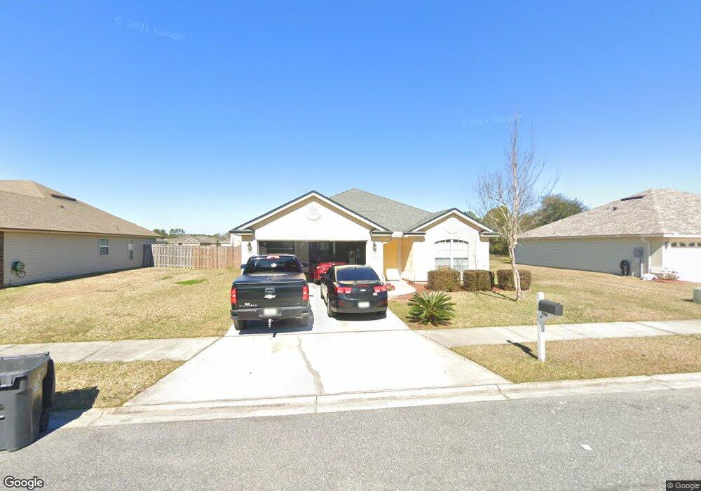
6151 Sands Pointe Dr MacClenny, FL 32063
Estimated Value: $283,495 - $350,000
4
Beds
2
Baths
1,815
Sq Ft
$177/Sq Ft
Est. Value
About This Home
This home is located at 6151 Sands Pointe Dr, MacClenny, FL 32063 and is currently estimated at $321,874, approximately $177 per square foot. 6151 Sands Pointe Dr is a home located in Baker County with nearby schools including MacClenny Elementary School, Keller Intermediate School, and Baker County Middle School.
Ownership History
Date
Name
Owned For
Owner Type
Purchase Details
Closed on
Jul 30, 2014
Sold by
Williams Curtis and Williams Sylvia
Bought by
Bank Of America Na
Current Estimated Value
Purchase Details
Closed on
Feb 8, 2010
Sold by
Seda Construction Company
Bought by
Williams Curtis
Home Financials for this Owner
Home Financials are based on the most recent Mortgage that was taken out on this home.
Original Mortgage
$173,302
Interest Rate
5.5%
Mortgage Type
FHA
Create a Home Valuation Report for This Property
The Home Valuation Report is an in-depth analysis detailing your home's value as well as a comparison with similar homes in the area
Home Values in the Area
Average Home Value in this Area
Purchase History
| Date | Buyer | Sale Price | Title Company |
|---|---|---|---|
| Bank Of America Na | -- | Attorney | |
| Williams Curtis | $176,500 | Keith Watson Title Svcs Inc |
Source: Public Records
Mortgage History
| Date | Status | Borrower | Loan Amount |
|---|---|---|---|
| Previous Owner | Williams Curtis | $173,302 |
Source: Public Records
Tax History
| Year | Tax Paid | Tax Assessment Tax Assessment Total Assessment is a certain percentage of the fair market value that is determined by local assessors to be the total taxable value of land and additions on the property. | Land | Improvement |
|---|---|---|---|---|
| 2025 | $3,543 | $205,364 | $35,000 | $170,364 |
| 2024 | $3,593 | $208,072 | $35,000 | $173,072 |
| 2023 | $3,506 | $194,567 | $0 | $0 |
| 2022 | $3,244 | $176,879 | $0 | $0 |
| 2021 | $2,893 | $160,799 | $21,250 | $139,549 |
| 2020 | $2,892 | $159,016 | $0 | $0 |
| 2019 | $2,664 | $145,283 | $20,000 | $125,283 |
| 2018 | $2,533 | $136,596 | $0 | $0 |
| 2017 | $2,523 | $138,607 | $0 | $0 |
| 2016 | $2,304 | $120,714 | $0 | $0 |
| 2015 | $2,200 | $112,937 | $0 | $0 |
| 2014 | $2,251 | $114,544 | $0 | $0 |
Source: Public Records
Map
Nearby Homes
- 11976 Bent Ct
- 12045 Sands Pointe Ct
- 6120 Copper Dr
- 6116 Copper Dr
- 1168 Copper Gate Place
- 6769 Sandsdale Rd
- 6897 Miltondale Rd
- 11797 Blueberry Ln
- 11770 Huckleberry Trail E
- 11761 Huckleberry Trail E
- 6121 Michele Rd
- 820 Golf Club Rd
- 11767 Faye Rd
- 801 N Lowder St
- 570 Independence Dr
- 724 Liberty Cir
- 551 Heritage Crossing
- 369 Owen Acres Dr
- 702 N 7th St
- 406 Barbara Cir
- 6167 Sands Pointe Dr
- 6137 Sands Pointe Dr
- 6185 Sands Pointe Dr
- 11977 Bent Ct
- 6156 Sands Pointe Dr
- 6142 Sands Pointe Dr
- 12045 Bent MacClenny Ct
- 6172 Sands Pointe Dr
- 6126 Sands Pointe Dr
- 12045 Bent Ct
- 6107 Sands Pointe Dr
- 12005 Bent Ct
- 6224 Sands Pointe Dr
- 6186 Sands Pointe Dr
- 6110 Sands Pointe Dr
- 6203 Sands Pointe Dr
- 6123 Copper Ridge Cir
- 6125 Copper Ridge Cir
- 12049 Bent Ct
- 6091 Sands Pointe Dr
Your Personal Tour Guide
Ask me questions while you tour the home.