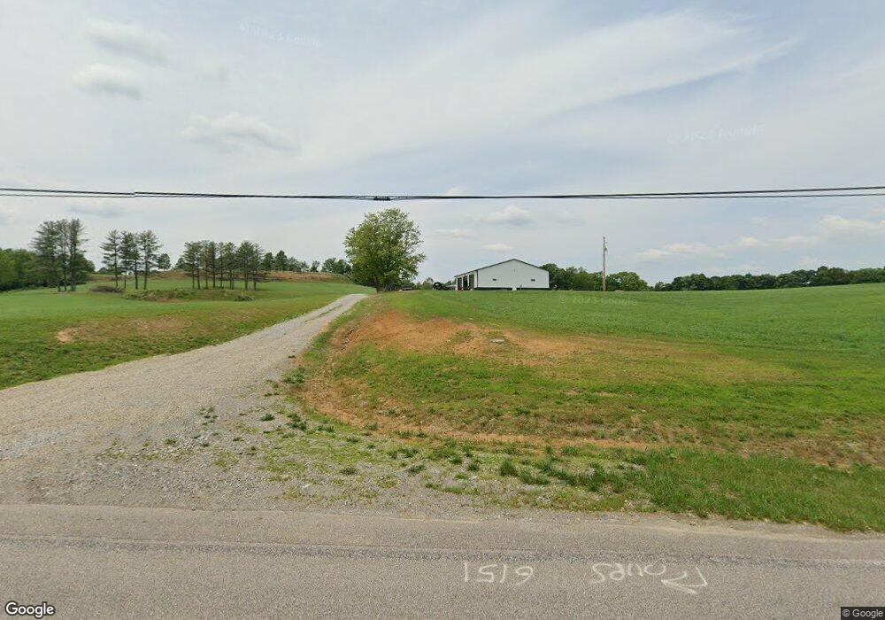
6151 State Route 555 Little Hocking, OH 45742
Estimated Value: $270,000 - $600,945
3
Beds
3
Baths
1,800
Sq Ft
$237/Sq Ft
Est. Value
About This Home
This home is located at 6151 State Route 555, Little Hocking, OH 45742 and is currently estimated at $426,736, approximately $237 per square foot. 6151 State Route 555 is a home with nearby schools including Warren High School.
Ownership History
Date
Name
Owned For
Owner Type
Purchase Details
Closed on
Jan 14, 2021
Sold by
Miller Keith and Miller Pamela L
Bought by
K & M Family Farms Llc
Current Estimated Value
Purchase Details
Closed on
Feb 14, 2008
Sold by
Miller Keith and Miller Anna Pauline
Bought by
Miller Keith and Ellett Terri Lynn
Purchase Details
Closed on
Dec 6, 1994
Bought by
Miller Keith and Anna Paul
Purchase Details
Closed on
Apr 20, 1992
Bought by
Guza Marilyn
Create a Home Valuation Report for This Property
The Home Valuation Report is an in-depth analysis detailing your home's value as well as a comparison with similar homes in the area
Home Values in the Area
Average Home Value in this Area
Purchase History
| Date | Buyer | Sale Price | Title Company |
|---|---|---|---|
| K & M Family Farms Llc | $338,000 | Attorneys Title Co Llc | |
| Miller Keith | -- | Attorney | |
| Miller Keith | $108,500 | -- | |
| Miller Keith | $108,500 | -- | |
| Guza Marilyn | -- | -- | |
| Guza Marilyn | -- | -- |
Source: Public Records
Tax History Compared to Growth
Tax History
| Year | Tax Paid | Tax Assessment Tax Assessment Total Assessment is a certain percentage of the fair market value that is determined by local assessors to be the total taxable value of land and additions on the property. | Land | Improvement |
|---|---|---|---|---|
| 2024 | $5,234 | $129,630 | $63,720 | $65,910 |
| 2023 | $5,243 | $129,630 | $63,720 | $65,910 |
| 2022 | $2,563 | $129,630 | $63,720 | $65,910 |
| 2021 | $1,836 | $42,630 | $42,560 | $70 |
| 2020 | $1,686 | $42,630 | $42,560 | $70 |
| 2019 | $1,662 | $42,630 | $42,560 | $70 |
| 2018 | $1,426 | $35,540 | $35,470 | $70 |
| 2017 | $1,419 | $35,540 | $35,470 | $70 |
| 2016 | $1,756 | $35,540 | $35,470 | $70 |
| 2015 | $1,470 | $41,030 | $36,830 | $4,200 |
| 2014 | $2,050 | $41,030 | $36,830 | $4,200 |
| 2013 | $1,473 | $41,030 | $36,830 | $4,200 |
Source: Public Records
Map
Nearby Homes
- 852 Wallace Rd
- 2207 Veto Rd
- 2500 Robert Kelly Rd
- 28 Mcgill Rd
- 2567 State Route 555
- 6750 O'Neil Rd
- 1556 Mcgill Rd
- 0 T1309
- 631 Short Brook Rd
- 5595 N Torch Rd
- 29500 Houston Rd
- 849 Clark Rd
- 966 State Route 555
- 0 Houston Rd
- 19 Suzanne St
- 950 Federal Rd
- 00 Orchard Dr
- 0 Murphy Rd Unit 2431698
- 171 Veto Cir
- 1015 Brackenridge Rd
- 6156 State Route 555
- 6196 State Route 555
- 6196 State Route 555
- 6196 State Route 555
- 6196 Ohio 555
- 6025 State Route 555
- 5922 State Route 555
- 6361 State Route 555
- 6340 State Route 555
- 6404 State Route 555
- 6422 State Route 555
- 5839 State Route 555
- 6451 State Route 555
- 5800 State Route 555
- 6532 State Route 555
- 8863 St Rt 555
- 8863 Rt 555
- 6584 State Route 555
- 47 Miller St
- 6697 State Route 555