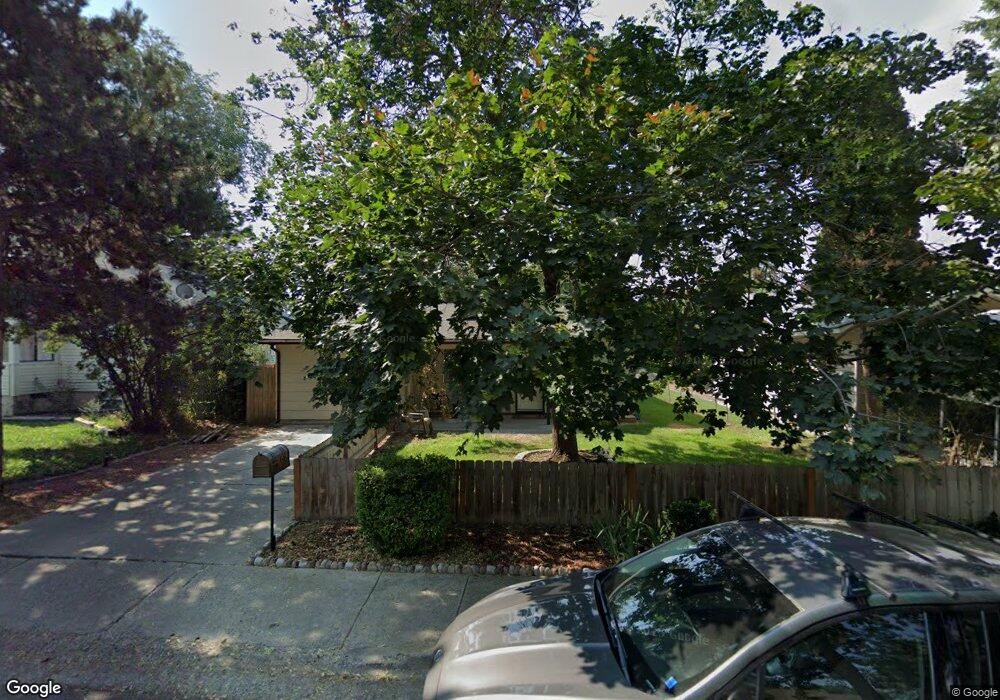
6151 W Post St Boise, ID 83704
West Boise NeighborhoodEstimated Value: $365,000 - $397,000
2
Beds
1
Bath
1,238
Sq Ft
$306/Sq Ft
Est. Value
About This Home
This home is located at 6151 W Post St, Boise, ID 83704 and is currently estimated at $379,443, approximately $306 per square foot. 6151 W Post St is a home located in Ada County with nearby schools including Koelsch Elementary School, Fairmont Junior High School, and Capital High School.
Ownership History
Date
Name
Owned For
Owner Type
Purchase Details
Closed on
Jun 29, 2020
Sold by
Brink Steven R
Bought by
Brink Steven R and Brink Deanna L
Current Estimated Value
Home Financials for this Owner
Home Financials are based on the most recent Mortgage that was taken out on this home.
Original Mortgage
$139,500
Interest Rate
3.2%
Mortgage Type
New Conventional
Purchase Details
Closed on
May 12, 1998
Sold by
L Rabin
Bought by
Rabin Donna L
Home Financials for this Owner
Home Financials are based on the most recent Mortgage that was taken out on this home.
Original Mortgage
$76,500
Interest Rate
6.77%
Mortgage Type
Purchase Money Mortgage
Purchase Details
Closed on
Feb 23, 1998
Sold by
Noel Rabin Michael Alexander
Bought by
Rabin Donna Lillian
Create a Home Valuation Report for This Property
The Home Valuation Report is an in-depth analysis detailing your home's value as well as a comparison with similar homes in the area
Home Values in the Area
Average Home Value in this Area
Purchase History
| Date | Buyer | Sale Price | Title Company |
|---|---|---|---|
| Brink Steven R | -- | Title One Boise | |
| Rabin Donna L | -- | Stewart Title Company | |
| Rabin Donna Lillian | -- | -- |
Source: Public Records
Mortgage History
| Date | Status | Borrower | Loan Amount |
|---|---|---|---|
| Closed | Brink Steven R | $139,500 | |
| Closed | Rabin Donna L | $76,500 |
Source: Public Records
Tax History Compared to Growth
Tax History
| Year | Tax Paid | Tax Assessment Tax Assessment Total Assessment is a certain percentage of the fair market value that is determined by local assessors to be the total taxable value of land and additions on the property. | Land | Improvement |
|---|---|---|---|---|
| 2025 | $1,644 | $325,000 | -- | -- |
| 2024 | $1,559 | $306,200 | -- | -- |
| 2023 | $1,559 | $288,300 | $0 | $0 |
| 2022 | $2,910 | $335,600 | $0 | $0 |
| 2021 | $2,912 | $266,400 | $0 | $0 |
| 2020 | $2,534 | $213,400 | $0 | $0 |
| 2019 | $2,624 | $193,400 | $0 | $0 |
| 2018 | $2,455 | $161,700 | $0 | $0 |
| 2017 | $2,357 | $147,500 | $0 | $0 |
| 2016 | $2,252 | $137,500 | $0 | $0 |
| 2015 | $1,016 | $121,300 | $0 | $0 |
| 2012 | -- | $87,700 | $0 | $0 |
Source: Public Records
Map
Nearby Homes
- 1703 N Hartman St
- 5816 W Poplar Dr
- 2103 N Curtis Rd
- 6214 W York St
- 5701 W Cruzen St
- 6404 W York St
- 2421 N Fisk Ln
- 6402 W Northview St
- 1910 N Amber St
- 6738 W Westwood Ln
- 2110 N Allumbaugh St
- 2001 N Allumbaugh St
- 2101 N Allumbaugh St
- 6800 W Folk Dr
- 6808 W Folk Dr
- 2713 N Esquire Dr
- 7048 W Colehaven Dr
- 215 W 39th St
- 6827 W Northview St
- 122 W 41st St Unit 3
- 6173 W Post St
- 6111 W Post St
- 6109 W Post St
- 6105 W Post St
- 1912 N Hartman St
- 6118 W Russett St
- 6122 W Russett St
- 6114 W Russett St
- 6118 W Post St
- 6110 W Post St
- 6108 W Russett St
- 6112 W Post St
- 6126 W Russett St
- 6109 W
- 1917 N Fisk St
- 6124 W Post St
- 6108 W Post St
- 6106 W Post St
- 6130 W Post St
- 6130 W Russett St