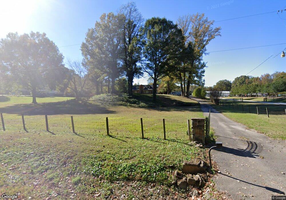
6151 Walsh Rd Millington, TN 38053
Estimated Value: $307,000 - $532,849
3
Beds
2
Baths
3,001
Sq Ft
$129/Sq Ft
Est. Value
About This Home
This home is located at 6151 Walsh Rd, Millington, TN 38053 and is currently estimated at $386,712, approximately $128 per square foot. 6151 Walsh Rd is a home located in Shelby County with nearby schools including E.E. Jeter Elementary School and Trezevant High School.
Ownership History
Date
Name
Owned For
Owner Type
Purchase Details
Closed on
Aug 27, 2025
Sold by
Fowler Daniel and King Joseph L
Bought by
Fowler Michael Shawn
Current Estimated Value
Purchase Details
Closed on
Jun 28, 2021
Sold by
Nance Terry L and Nance Teresa A
Bought by
Fowler Michael Shawn and Fowler Daniel
Home Financials for this Owner
Home Financials are based on the most recent Mortgage that was taken out on this home.
Original Mortgage
$346,500
Interest Rate
2.2%
Mortgage Type
Credit Line Revolving
Purchase Details
Closed on
Aug 1, 2006
Sold by
Bayless Charles L and Bayless Annette L
Bought by
Nance Terry L and Nance Teresa A
Create a Home Valuation Report for This Property
The Home Valuation Report is an in-depth analysis detailing your home's value as well as a comparison with similar homes in the area
Home Values in the Area
Average Home Value in this Area
Purchase History
| Date | Buyer | Sale Price | Title Company |
|---|---|---|---|
| Fowler Michael Shawn | -- | None Listed On Document | |
| Fowler Michael Shawn | $450,000 | None Listed On Document | |
| Nance Terry L | $515,000 | None Available |
Source: Public Records
Mortgage History
| Date | Status | Borrower | Loan Amount |
|---|---|---|---|
| Previous Owner | Fowler Michael Shawn | $346,500 |
Source: Public Records
Tax History Compared to Growth
Tax History
| Year | Tax Paid | Tax Assessment Tax Assessment Total Assessment is a certain percentage of the fair market value that is determined by local assessors to be the total taxable value of land and additions on the property. | Land | Improvement |
|---|---|---|---|---|
| 2025 | $1,711 | $72,750 | $8,600 | $64,150 |
| 2024 | $1,711 | $53,400 | $7,125 | $46,275 |
| 2023 | $1,711 | $53,400 | $7,125 | $46,275 |
| 2022 | $1,711 | $53,400 | $7,125 | $46,275 |
| 2021 | $2,044 | $53,400 | $7,125 | $46,275 |
| 2020 | $1,202 | $32,400 | $6,475 | $25,925 |
| 2019 | $1,202 | $32,400 | $6,475 | $25,925 |
| 2018 | $1,312 | $32,400 | $6,475 | $25,925 |
| 2017 | $1,332 | $32,400 | $6,475 | $25,925 |
| 2016 | $1,208 | $30,350 | $0 | $0 |
| 2014 | $1,208 | $30,350 | $0 | $0 |
Source: Public Records
Map
Nearby Homes
- 6443 N Watkins St
- 6525 N Watkins Rd
- 1 Walsh Rd
- 0 N Watkins Unit 10203950
- 0 N Watkins Unit 10193620
- 6007 Island Forty Rd
- 6234 Woodstock Cuba Rd
- 6770 Camp John Rd
- 1435 Walsh Cove
- 5921 Benjestown Rd
- 6224 Benjestown Rd
- 5387 Cornstalk Cove
- 5371 Cedar Bluff Dr
- 5423 Breckenwood Dr
- 1907 Campbell Rd
- 1 Robertson Rd
- 6621 Benjestown Rd
- 5382 Beaverton Dr
- 5306 Beaverton Dr
- 2714 Moonview Rd
- 6135 Walsh Rd
- 6111 Walsh Rd
- 6085 Walsh Rd
- 0 Walsh Rd Unit 3140999
- 0 Walsh Rd Unit 3140988
- 0 Walsh Rd Unit 3163391
- 0 Walsh Rd Unit 3260491
- 0 Walsh Rd Unit 3273611
- 0 Walsh Rd Unit 3273594
- 0 Walsh Rd Unit 3292909
- 0 Walsh Rd Unit 9934155
- 0 Walsh Rd Unit 9934154
- 0 Walsh Rd Unit 9941216
- 0 Walsh Rd Unit 9966982
- 0 Walsh Rd Unit 10195194
- 0 Walsh Rd Unit 10075098
- 6200 Walsh Rd
- 6096 Walsh Rd
- 6181 Walsh Rd
- 5991 Walsh Rd