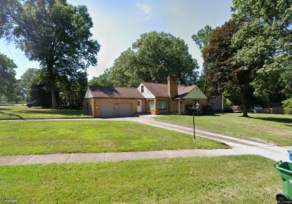
6152 West Blvd Youngstown, OH 44512
Estimated Value: $187,000 - $207,000
3
Beds
2
Baths
1,244
Sq Ft
$157/Sq Ft
Est. Value
About This Home
This home is located at 6152 West Blvd, Youngstown, OH 44512 and is currently estimated at $195,097, approximately $156 per square foot. 6152 West Blvd is a home located in Mahoning County with nearby schools including West Boulevard Elementary School, Boardman Center Middle School, and Boardman High School.
Ownership History
Date
Name
Owned For
Owner Type
Purchase Details
Closed on
Jan 13, 2005
Sold by
Lilko Andrew W
Bought by
Bordonaro Christopher J
Current Estimated Value
Home Financials for this Owner
Home Financials are based on the most recent Mortgage that was taken out on this home.
Original Mortgage
$115,000
Outstanding Balance
$58,637
Interest Rate
5.9%
Mortgage Type
Purchase Money Mortgage
Estimated Equity
$136,460
Purchase Details
Closed on
Jun 1, 1988
Bought by
Lilko Andrew W
Create a Home Valuation Report for This Property
The Home Valuation Report is an in-depth analysis detailing your home's value as well as a comparison with similar homes in the area
Home Values in the Area
Average Home Value in this Area
Purchase History
| Date | Buyer | Sale Price | Title Company |
|---|---|---|---|
| Bordonaro Christopher J | $115,000 | -- | |
| Lilko Andrew W | -- | -- |
Source: Public Records
Mortgage History
| Date | Status | Borrower | Loan Amount |
|---|---|---|---|
| Open | Bordonaro Christopher J | $115,000 |
Source: Public Records
Tax History Compared to Growth
Tax History
| Year | Tax Paid | Tax Assessment Tax Assessment Total Assessment is a certain percentage of the fair market value that is determined by local assessors to be the total taxable value of land and additions on the property. | Land | Improvement |
|---|---|---|---|---|
| 2024 | $2,785 | $54,140 | $9,370 | $44,770 |
| 2023 | $2,748 | $54,140 | $9,370 | $44,770 |
| 2022 | $2,541 | $38,210 | $8,880 | $29,330 |
| 2021 | $2,542 | $38,210 | $8,880 | $29,330 |
| 2020 | $2,555 | $38,210 | $8,880 | $29,330 |
| 2019 | $2,534 | $33,230 | $7,720 | $25,510 |
| 2018 | $2,187 | $33,230 | $7,720 | $25,510 |
| 2017 | $2,144 | $33,230 | $7,720 | $25,510 |
| 2016 | $2,313 | $35,560 | $8,540 | $27,020 |
| 2015 | $2,268 | $35,560 | $8,540 | $27,020 |
| 2014 | $2,274 | $35,560 | $8,540 | $27,020 |
| 2013 | $2,246 | $35,560 | $8,540 | $27,020 |
Source: Public Records
Map
Nearby Homes
- 715 Crestview Dr
- 768 Crestview Dr
- 396 Brookfield Ave
- 813 Brookfield Ave
- 235 Wolcott Dr
- 242 Oakley Ave
- 6892 Glenwood Ave
- 6938 Ron Park Place
- 6632 Harrington Ave
- 169 Wolcott Dr
- 5200 West Blvd Unit 505
- 6511 Pembrooke Place
- 103 Wildwood Dr
- 7005 Paxton Rd
- 6726 Glendale Ave
- 96 Aylesboro Ave
- 272 Shields Rd
- 26 Marlindale Ave
- 0 Pinewood Dr Unit 5140025
- 5020 Friendship Ave
- 712 Crestview Dr
- 6170 West Blvd
- 716 Crestview Dr
- 6146 West Blvd
- 6165 West Blvd
- 6169 West Blvd
- 6176 West Blvd
- 6171 West Blvd
- 726 Crestview Dr
- 6140 West Blvd
- 6183 West Blvd
- 723 Crestview Dr
- 6187 West Blvd
- 728 Crestview Dr
- 725 Golfview Ave
- 731 Crestview Dr
- 729 Golfview Ave
- 480 Wildwood Dr
- 6110 West Blvd
- 716 Wildwood Dr