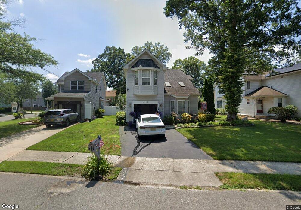
6152 White Oak Way Mays Landing, NJ 08330
Estimated Value: $347,000 - $398,000
--
Bed
--
Bath
1,880
Sq Ft
$195/Sq Ft
Est. Value
About This Home
This home is located at 6152 White Oak Way, Mays Landing, NJ 08330 and is currently estimated at $366,379, approximately $194 per square foot. 6152 White Oak Way is a home located in Atlantic County with nearby schools including Joseph Shaner School, George L. Hess Educational Complex, and William Davies Middle School.
Ownership History
Date
Name
Owned For
Owner Type
Purchase Details
Closed on
Aug 4, 2023
Sold by
Joraskie Diane and Irizarry Catherine
Bought by
Joraskie Diane and Irizarry Catherine
Current Estimated Value
Purchase Details
Closed on
Mar 8, 2019
Sold by
Joraskie Diane and Irizarry Catherine
Bought by
Joraskie Diane and Irizarry Catherine
Purchase Details
Closed on
Apr 24, 2002
Sold by
Hud
Bought by
Joraskie Diane and Irizarry Catherine
Home Financials for this Owner
Home Financials are based on the most recent Mortgage that was taken out on this home.
Original Mortgage
$118,400
Interest Rate
7.13%
Purchase Details
Closed on
Nov 7, 2001
Sold by
Johnson Anthony Q and Johnson Crystal Taylor
Bought by
Hud
Purchase Details
Closed on
Sep 25, 1996
Sold by
Rodriguez Ronald and Rodriguez Anita
Bought by
Johnson Crystal Taylor and Johnson Anthony Q
Home Financials for this Owner
Home Financials are based on the most recent Mortgage that was taken out on this home.
Original Mortgage
$129,387
Interest Rate
7.9%
Mortgage Type
FHA
Purchase Details
Closed on
Aug 31, 1989
Sold by
Dayco Invest Corp
Bought by
Rodriguez Ronald and Rodriguez Clendaniel,Anita
Create a Home Valuation Report for This Property
The Home Valuation Report is an in-depth analysis detailing your home's value as well as a comparison with similar homes in the area
Home Values in the Area
Average Home Value in this Area
Purchase History
| Date | Buyer | Sale Price | Title Company |
|---|---|---|---|
| Joraskie Diane | -- | None Listed On Document | |
| Joraskie Diane | -- | None Available | |
| Joraskie Diane | $131,578 | Independence Abstract & Titl | |
| Hud | -- | -- | |
| Johnson Crystal Taylor | $130,000 | The Title Company | |
| Rodriguez Ronald | $149,400 | -- |
Source: Public Records
Mortgage History
| Date | Status | Borrower | Loan Amount |
|---|---|---|---|
| Previous Owner | Joraskie Diane | $118,400 | |
| Previous Owner | Johnson Crystal Taylor | $129,387 |
Source: Public Records
Tax History Compared to Growth
Tax History
| Year | Tax Paid | Tax Assessment Tax Assessment Total Assessment is a certain percentage of the fair market value that is determined by local assessors to be the total taxable value of land and additions on the property. | Land | Improvement |
|---|---|---|---|---|
| 2025 | $6,437 | $187,600 | $33,000 | $154,600 |
| 2024 | $6,437 | $187,600 | $33,000 | $154,600 |
| 2023 | $6,052 | $187,600 | $33,000 | $154,600 |
| 2022 | $6,052 | $187,600 | $33,000 | $154,600 |
| 2021 | $6,039 | $187,600 | $33,000 | $154,600 |
| 2020 | $6,039 | $187,600 | $33,000 | $154,600 |
| 2019 | $6,054 | $187,600 | $33,000 | $154,600 |
| 2018 | $5,842 | $187,600 | $33,000 | $154,600 |
| 2017 | $5,750 | $187,600 | $33,000 | $154,600 |
| 2016 | $5,949 | $199,700 | $43,000 | $156,700 |
| 2015 | $5,747 | $199,700 | $43,000 | $156,700 |
| 2014 | $5,711 | $217,400 | $48,000 | $169,400 |
Source: Public Records
Map
Nearby Homes
- 6140 Robin Dr
- 0 Harding Hwy Unit NJAC2019438
- 0 Harding Hwy Unit 597638
- 6301 Roberts Ave
- 6206 Roberts Ave
- 5 Camac Ave
- 6314 Lance Ave
- 6301 Knight Ave
- 6310 Phillips Ave
- 80 Mill St
- 37 Delancy Ct
- 150 Rainbow Dr
- 6062 Main St
- 1 Lafayette Ave
- 6015 Main St
- 1404 Loretta Ave
- 1403 Loretta Ave
- 16 Holly Ct
- 24 Holly Ct
- 535 Park Rd
- 6154 White Oak Way
- 6150 White Oak Way
- 6156 White Oak Way
- 6158 White Oak Way
- 6153 Robin Dr
- 6149 Robin Dr
- 6151 Robin Dr
- 6155 Robin Dr
- 6155 White Oak Way
- 6157 Robin Dr
- 6160 White Oak Way
- 6153 White Oak Way
- 6159 Robin Dr
- 6151 White Oak Way
- 6147 Robin Dr
- 6145 Robin Dr
- 6153 Falcon Run Rd
- 6143 Robin Dr
- 6155 Falcon Run Rd
- 6158 Robin Dr