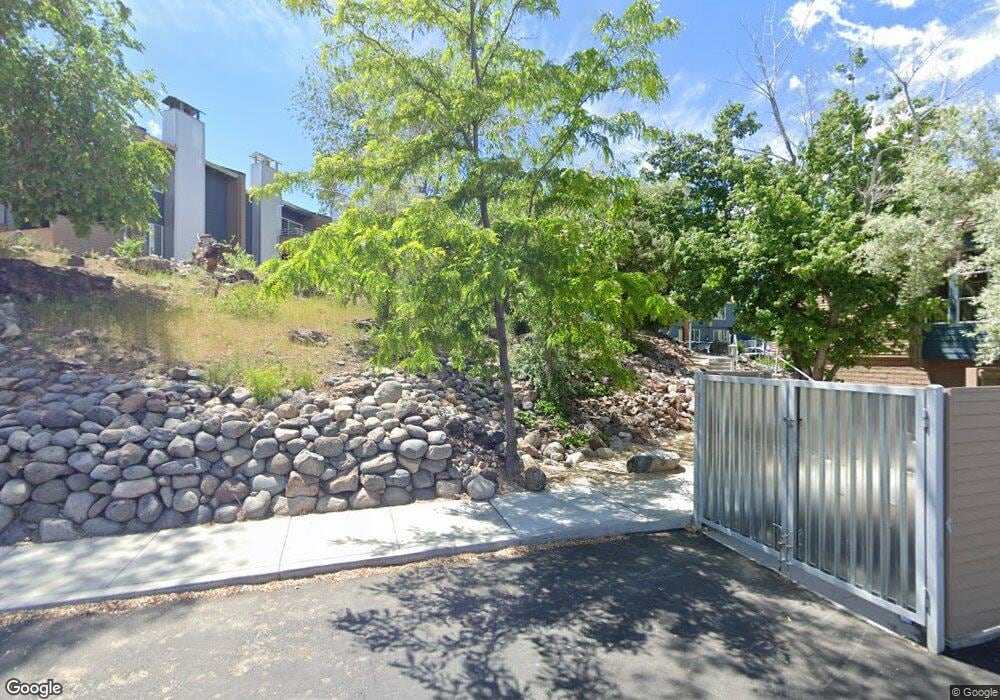
6155 Plumas St Reno, NV 89519
Lakeridge NeighborhoodEstimated Value: $438,659 - $769,000
3
Beds
3
Baths
1,517
Sq Ft
$395/Sq Ft
Est. Value
About This Home
This home is located at 6155 Plumas St, Reno, NV 89519 and is currently estimated at $598,665, approximately $394 per square foot. 6155 Plumas St is a home located in Washoe County with nearby schools including Huffaker Elementary School, Edward L Pine Middle School, and Reno High School.
Ownership History
Date
Name
Owned For
Owner Type
Purchase Details
Closed on
Mar 1, 2017
Sold by
Wbcmt 2006-C7 Plumas Street Llc
Bought by
Lakeridge West Tic I Llc and Lakeridge West Tic Ii Llc
Current Estimated Value
Home Financials for this Owner
Home Financials are based on the most recent Mortgage that was taken out on this home.
Original Mortgage
$0
Interest Rate
4.19%
Mortgage Type
Commercial
Create a Home Valuation Report for This Property
The Home Valuation Report is an in-depth analysis detailing your home's value as well as a comparison with similar homes in the area
Home Values in the Area
Average Home Value in this Area
Purchase History
| Date | Buyer | Sale Price | Title Company |
|---|---|---|---|
| Lakeridge West Tic I Llc | $19,530,000 | None Available |
Source: Public Records
Mortgage History
| Date | Status | Borrower | Loan Amount |
|---|---|---|---|
| Open | Lakeridge West Tic Ii Llc | $18,863,000 | |
| Closed | Lakeridge West Tic I Llc | $0 | |
| Previous Owner | Tee Investment Co Lp | $0 | |
| Closed | Lakeridge West Tic I Llc | $0 |
Source: Public Records
Tax History Compared to Growth
Tax History
| Year | Tax Paid | Tax Assessment Tax Assessment Total Assessment is a certain percentage of the fair market value that is determined by local assessors to be the total taxable value of land and additions on the property. | Land | Improvement |
|---|---|---|---|---|
| 2025 | $1,441 | $42,491 | $9,800 | $32,691 |
| 2024 | $1,441 | $43,678 | $9,450 | $34,228 |
| 2023 | $1,335 | $39,306 | $8,750 | $30,556 |
| 2022 | $1,234 | $33,663 | $7,000 | $26,663 |
| 2021 | $1,198 | $32,594 | $5,600 | $26,994 |
| 2020 | $1,208 | $33,013 | $5,600 | $27,413 |
| 2019 | $1,176 | $32,139 | $5,250 | $26,889 |
| 2018 | $1,143 | $31,218 | $4,725 | $26,493 |
| 2017 | $1,134 | $30,898 | $4,375 | $26,523 |
| 2016 | $887 | $24,146 | $4,375 | $19,771 |
| 2015 | $914 | $24,883 | $4,165 | $20,718 |
| 2014 | $963 | $26,334 | $4,165 | $22,169 |
| 2013 | -- | $25,459 | $4,165 | $21,294 |
Source: Public Records
Map
Nearby Homes
- 1509 Golf Club Dr Unit Hilltop 13
- 1513 Golf Club Dr
- 1517 Golf Club Dr Unit Hilltop 11
- 1521 Golf Club Dr Unit Hilltop 10
- 1521 Golf Club Dr
- 1533 Golf Club Dr Unit Hilltop 7
- 1533 Golf Club Dr
- 6057 Kelly Heights Way
- 1541 Golf Club Dr Unit Hilltop 5
- 2665 Rockview Dr
- 6152 Wycliffe Cir
- 6350 Green Ranch Rd
- 6055 Stonecreek Dr
- 6161 Wycliffe Cir
- 994 Mirror Lake Ct
- 6148 Greenbrook Dr
- 2260 Stone Mountain Cir
- 2108 Chicory Way Unit 2108A
- 2037 Sunburst Way
- 2543 Edgerock Rd
