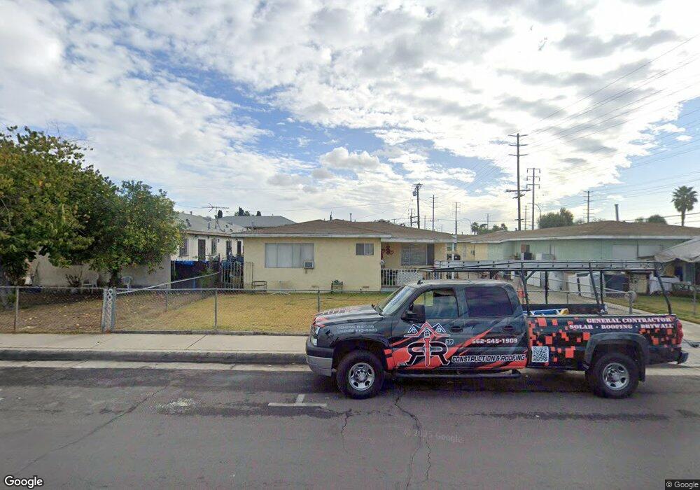
6156 Heliotrope Ave Maywood, CA 90270
Estimated Value: $843,958 - $1,151,000
8
Beds
4
Baths
3,540
Sq Ft
$278/Sq Ft
Est. Value
About This Home
This home is located at 6156 Heliotrope Ave, Maywood, CA 90270 and is currently estimated at $983,990, approximately $277 per square foot. 6156 Heliotrope Ave is a home located in Los Angeles County with nearby schools including Heliotrope Avenue Elementary School, Chester W. Nimitz Middle School, and Maywood Academy High School.
Ownership History
Date
Name
Owned For
Owner Type
Purchase Details
Closed on
Dec 20, 2023
Sold by
1986 Jervis Family Trust
Bought by
Jervis 2023 Irrevocable Trust and Jervis
Current Estimated Value
Purchase Details
Closed on
Oct 6, 2023
Sold by
1986 Jervis Family Trust
Bought by
Jervis Pinkey
Purchase Details
Closed on
Jul 29, 1994
Sold by
Jervis Harold Gaylord and Jervis Ramona
Bought by
Jervis Donald Leroy
Purchase Details
Closed on
Oct 20, 1993
Sold by
Jervis Donald Leroy and Jervis Pinkey
Bought by
Jervis Donald Leroy
Create a Home Valuation Report for This Property
The Home Valuation Report is an in-depth analysis detailing your home's value as well as a comparison with similar homes in the area
Home Values in the Area
Average Home Value in this Area
Purchase History
| Date | Buyer | Sale Price | Title Company |
|---|---|---|---|
| Jervis 2023 Irrevocable Trust | $800,000 | Pacific Coast Title | |
| Jervis Pinkey | -- | Pacific Coast Title | |
| Jervis Donald Leroy | -- | -- | |
| Jervis Donald Leroy | -- | -- |
Source: Public Records
Tax History Compared to Growth
Tax History
| Year | Tax Paid | Tax Assessment Tax Assessment Total Assessment is a certain percentage of the fair market value that is determined by local assessors to be the total taxable value of land and additions on the property. | Land | Improvement |
|---|---|---|---|---|
| 2025 | $4,850 | $1,101,600 | $642,600 | $459,000 |
| 2024 | $4,850 | $258,663 | $141,743 | $116,920 |
| 2023 | $4,779 | $253,592 | $138,964 | $114,628 |
| 2022 | $4,459 | $248,621 | $136,240 | $112,381 |
| 2021 | $4,388 | $243,747 | $133,569 | $110,178 |
| 2020 | $4,405 | $241,249 | $132,200 | $109,049 |
| 2019 | $4,266 | $236,519 | $129,608 | $106,911 |
| 2018 | $4,045 | $231,882 | $127,067 | $104,815 |
| 2016 | $3,777 | $222,880 | $122,134 | $100,746 |
| 2015 | $3,586 | $219,533 | $120,300 | $99,233 |
| 2014 | $3,601 | $215,234 | $117,944 | $97,290 |
Source: Public Records
Map
Nearby Homes
- 6117 Alamo Ave
- 6000 Vinevale Ave
- 6212 Alamo Ave
- 5958 Alamo Ave
- 6704 Vinevale Ave
- 4860 Bell Ave
- 6833 Crafton Ave
- 5362 E Slauson Ave
- 4425 E 57th St
- 4301 E 60th St
- 4539 E 53rd St
- 4339 E 58th St
- 5606 Pine Ave
- 6910 Chanslor Ave
- 5712 Fishburn Ave
- 7021 Walker Ave
- 4610 Weik Ave
- 4212 E 58th St
- 6059 Riverside Ave
- 5162 E Florence Ave Unit 58
- 4801 Randolph St
- 4817 Randolph St
- 6151 Heliotrope Ave
- 6153 Palm Ave
- 6136 Heliotrope Ave
- 6149 Palm Ave
- 6157 Palm Ave
- 6132 Heliotrope Ave
- 6137 Palm Ave
- 6137 Heliotrope Ave
- 4800 Randolph St
- 6126 Heliotrope Ave
- 6133 Heliotrope Ave
- 6133 Palm Ave
- 4820 Randolph St
- 6152 Vinevale Ave
- 6158 Palm Ave
- 6146 Vinevale Ave
- 6129 Heliotrope Ave
- 6127 Palm Ave