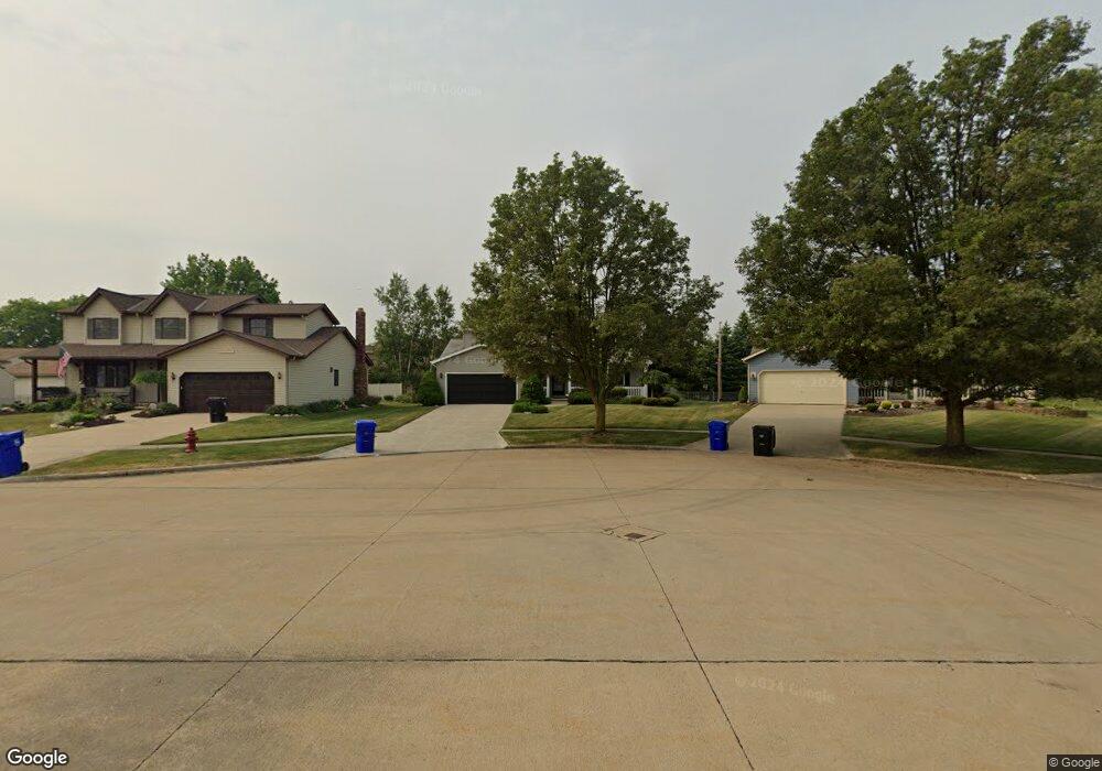
6157 Elizabeth Ct Brookpark, OH 44142
Estimated Value: $290,000 - $344,000
4
Beds
2
Baths
1,880
Sq Ft
$170/Sq Ft
Est. Value
About This Home
This home is located at 6157 Elizabeth Ct, Brookpark, OH 44142 and is currently estimated at $318,698, approximately $169 per square foot. 6157 Elizabeth Ct is a home located in Cuyahoga County with nearby schools including Berea-Midpark Middle School, Berea-Midpark High School, and Huber Heights Preparatory Academy Parma Academy.
Ownership History
Date
Name
Owned For
Owner Type
Purchase Details
Closed on
Mar 10, 2021
Sold by
Maslanka Donald and Maslanka Deborah A
Bought by
Maslanka Anthony J and The Maslanka Family Heritage T
Current Estimated Value
Purchase Details
Closed on
Nov 26, 1993
Bought by
Maslanka Donald
Purchase Details
Closed on
Dec 18, 1992
Bought by
Hyman Builders Inc
Purchase Details
Closed on
Aug 31, 1990
Bought by
Milstein, Carl Trustee
Purchase Details
Closed on
Dec 30, 1987
Bought by
Miller Sam H Trs and Miller Sam H
Purchase Details
Closed on
Feb 27, 1980
Bought by
Siegal Alvin A Tr
Purchase Details
Closed on
Jan 1, 1975
Bought by
Kinchen Gilbert H Tr
Create a Home Valuation Report for This Property
The Home Valuation Report is an in-depth analysis detailing your home's value as well as a comparison with similar homes in the area
Home Values in the Area
Average Home Value in this Area
Purchase History
| Date | Buyer | Sale Price | Title Company |
|---|---|---|---|
| Maslanka Anthony J | -- | None Available | |
| Maslanka Donald | $154,800 | -- | |
| Hyman Builders Inc | -- | -- | |
| Milstein, Carl Trustee | -- | -- | |
| Miller Sam H Trs | -- | -- | |
| Siegal Alvin A Tr | -- | -- | |
| Kinchen Gilbert H Tr | -- | -- |
Source: Public Records
Tax History Compared to Growth
Tax History
| Year | Tax Paid | Tax Assessment Tax Assessment Total Assessment is a certain percentage of the fair market value that is determined by local assessors to be the total taxable value of land and additions on the property. | Land | Improvement |
|---|---|---|---|---|
| 2024 | $4,428 | $97,580 | $26,075 | $71,505 |
| 2023 | $4,343 | $80,470 | $19,810 | $60,660 |
| 2022 | $4,338 | $80,470 | $19,810 | $60,660 |
| 2021 | $4,312 | $80,470 | $19,810 | $60,660 |
| 2020 | $4,354 | $72,490 | $17,850 | $54,640 |
| 2019 | $4,224 | $207,100 | $51,000 | $156,100 |
| 2018 | $3,816 | $72,490 | $17,850 | $54,640 |
| 2017 | $3,709 | $60,660 | $10,780 | $49,880 |
| 2016 | $3,679 | $60,660 | $10,780 | $49,880 |
| 2015 | $3,664 | $60,660 | $10,780 | $49,880 |
| 2014 | $3,664 | $63,840 | $11,340 | $52,500 |
Source: Public Records
Map
Nearby Homes
- 16051 Holland Rd
- 15924 Richard Dr
- 6054 Langer Dr
- 17810 Engle Ct
- 6363 Lockhaven Dr
- 5966 Engle Rd
- 6470 Sandfield Dr
- 6378 Edgehurst Dr
- 6537 Liberty Bell Dr Unit 160
- 16193 Emerald Point Unit 16193
- 6577 Liberty Bell Dr Unit 20C
- 6195 Hardin Dr
- 14890 Holland Rd
- 15446 Sheldon Rd
- 6728 Benedict Dr
- 6740 Benedict Dr
- 6755 Benedict Dr
- 6401 Scott Dr
- 6748 Benedict Dr
- 6720 Benedict Dr