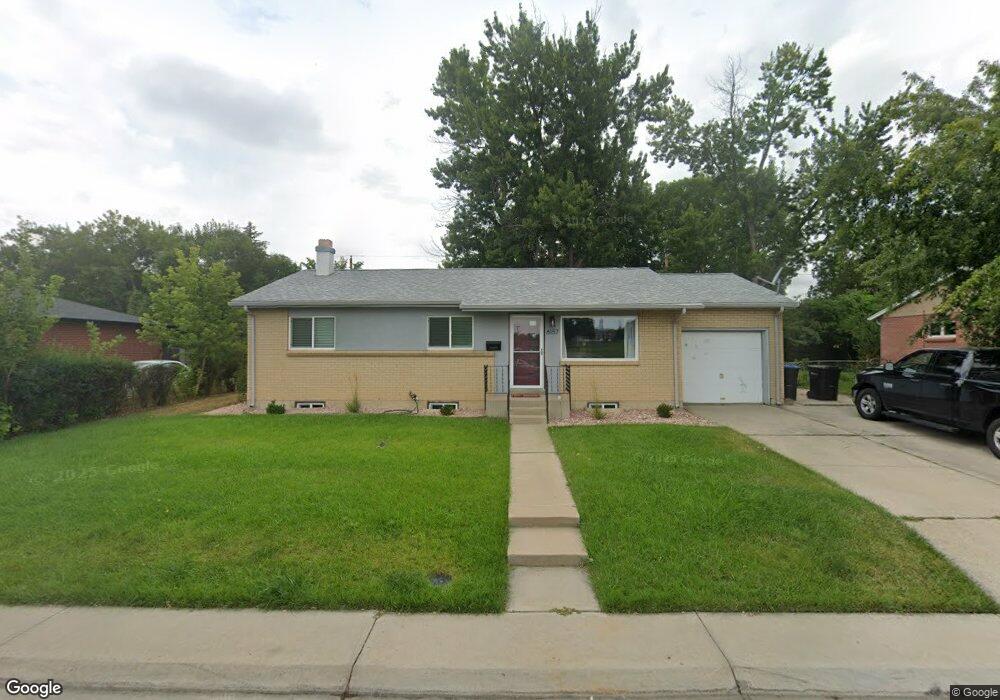
6157 Independence St Arvada, CO 80004
Alta Vista NeighborhoodEstimated Value: $579,000 - $638,000
3
Beds
5
Baths
1,146
Sq Ft
$524/Sq Ft
Est. Value
About This Home
This home is located at 6157 Independence St, Arvada, CO 80004 and is currently estimated at $600,062, approximately $523 per square foot. 6157 Independence St is a home located in Jefferson County with nearby schools including Lawrence Elementary School, Arvada K-8, and Arvada High School.
Ownership History
Date
Name
Owned For
Owner Type
Purchase Details
Closed on
Feb 21, 2002
Sold by
Watts Fred S and Watts Ruth C
Bought by
Roberts Rebecca S
Current Estimated Value
Home Financials for this Owner
Home Financials are based on the most recent Mortgage that was taken out on this home.
Original Mortgage
$138,000
Outstanding Balance
$57,021
Interest Rate
7.05%
Estimated Equity
$543,041
Create a Home Valuation Report for This Property
The Home Valuation Report is an in-depth analysis detailing your home's value as well as a comparison with similar homes in the area
Home Values in the Area
Average Home Value in this Area
Purchase History
| Date | Buyer | Sale Price | Title Company |
|---|---|---|---|
| Roberts Rebecca S | $196,000 | Colorado National Title |
Source: Public Records
Mortgage History
| Date | Status | Borrower | Loan Amount |
|---|---|---|---|
| Open | Roberts Rebecca S | $138,000 |
Source: Public Records
Tax History Compared to Growth
Tax History
| Year | Tax Paid | Tax Assessment Tax Assessment Total Assessment is a certain percentage of the fair market value that is determined by local assessors to be the total taxable value of land and additions on the property. | Land | Improvement |
|---|---|---|---|---|
| 2024 | $3,317 | $34,194 | $16,832 | $17,362 |
| 2023 | $3,317 | $34,194 | $16,832 | $17,362 |
| 2022 | $2,742 | $27,999 | $12,382 | $15,617 |
| 2021 | $2,787 | $28,805 | $12,739 | $16,066 |
| 2020 | $2,458 | $25,468 | $10,331 | $15,137 |
| 2019 | $2,425 | $25,468 | $10,331 | $15,137 |
| 2018 | $2,216 | $22,636 | $6,512 | $16,124 |
| 2017 | $2,029 | $22,636 | $6,512 | $16,124 |
| 2016 | $1,742 | $18,307 | $5,539 | $12,768 |
| 2015 | $1,506 | $18,307 | $5,539 | $12,768 |
| 2014 | $1,506 | $14,878 | $4,872 | $10,006 |
Source: Public Records
Map
Nearby Homes
- 6138 Iris Way
- 9667 W 63rd Ave
- 9656 Rensselaer Dr
- 9175 Cole Dr
- 6077 Flower St
- 9487 W 58th Ave Unit B
- 9457 W 58th Ave Unit D
- 9457 W 58th Ave Unit B
- 6371 Brooks Dr
- 9546 W 58th Ave Unit B
- Residence One Plan at Ralston Creek
- Residence Two Plan at Ralston Creek
- 6009 Lee St
- 10211 W 59th Place
- 6114 Miller St
- 10331 W 59th Ave
- 6250 Everett Ct Unit E
- 6240 Everett Ct Unit F
- 10523 W 62nd Place
- 5920 Estes Ct
- 6147 Independence St
- 6167 Independence St
- 6158 Iris Way
- 6168 Iris Way
- 6148 Iris Way
- 6137 Independence St
- 6177 Independence St
- 6190 Independence St
- 6180 Independence St
- 6178 Iris Way
- 6127 Independence St
- 6187 Independence St
- 6159 Iris Way
- 6149 Iris Way
- 6128 Iris Way
- 6169 Iris Way
- 6197 Hoyt Ct
- 6183 Hoyt Ct
- 6139 Iris Way
- 9624 W 62nd Place