6158 Fern Point Rd Franktown, VA 23354
Estimated Value: $315,000 - $665,000
3
Beds
2
Baths
2,442
Sq Ft
$201/Sq Ft
Est. Value
About This Home
This home is located at 6158 Fern Point Rd, Franktown, VA 23354 and is currently estimated at $490,178, approximately $200 per square foot. 6158 Fern Point Rd is a home located in Northampton County with nearby schools including Northampton High School.
Ownership History
Date
Name
Owned For
Owner Type
Purchase Details
Closed on
Jul 22, 2021
Sold by
Payne George G and Payne Anne B
Bought by
Payne Hunter S
Current Estimated Value
Home Financials for this Owner
Home Financials are based on the most recent Mortgage that was taken out on this home.
Original Mortgage
$164,900
Outstanding Balance
$151,751
Interest Rate
3.88%
Mortgage Type
Purchase Money Mortgage
Estimated Equity
$338,427
Create a Home Valuation Report for This Property
The Home Valuation Report is an in-depth analysis detailing your home's value as well as a comparison with similar homes in the area
Home Values in the Area
Average Home Value in this Area
Purchase History
| Date | Buyer | Sale Price | Title Company |
|---|---|---|---|
| Payne Hunter S | $170,000 | Attorney |
Source: Public Records
Mortgage History
| Date | Status | Borrower | Loan Amount |
|---|---|---|---|
| Open | Payne Hunter S | $164,900 |
Source: Public Records
Tax History Compared to Growth
Tax History
| Year | Tax Paid | Tax Assessment Tax Assessment Total Assessment is a certain percentage of the fair market value that is determined by local assessors to be the total taxable value of land and additions on the property. | Land | Improvement |
|---|---|---|---|---|
| 2024 | $2,463 | $359,600 | $27,000 | $332,600 |
| 2023 | $2,354 | $309,800 | $21,000 | $288,800 |
| 2022 | $2,354 | $309,800 | $21,000 | $288,800 |
| 2021 | $1,360 | $162,900 | $20,000 | $142,900 |
| 2020 | $1,360 | $162,900 | $20,000 | $142,900 |
| 2019 | $1,331 | $160,400 | $16,000 | $144,400 |
| 2018 | $1,331 | $160,400 | $16,000 | $144,400 |
| 2017 | $1,338 | $160,400 | $16,000 | $144,400 |
| 2016 | $643 | $161,200 | $17,000 | $144,200 |
| 2015 | -- | $161,200 | $17,000 | $144,200 |
| 2011 | -- | $243,500 | $55,600 | $187,900 |
Source: Public Records
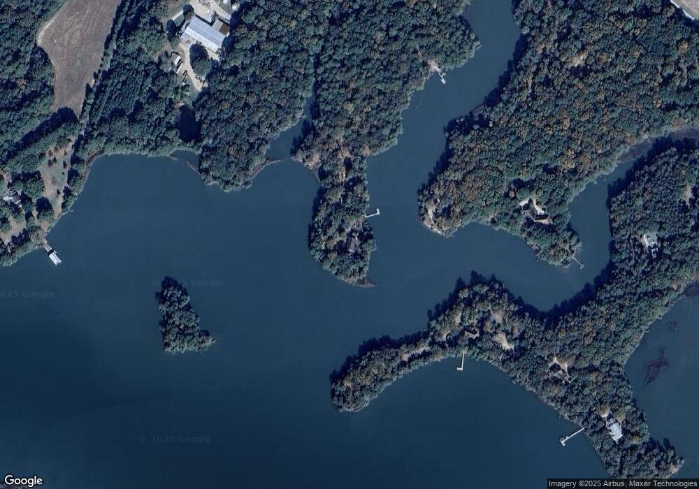
Map
Nearby Homes
- 8429 Denwood Rd
- 8419 Shooting Point Dr
- 5457 Bayford Rd
- Lot 17 Shooting Point Dr Unit 17
- 20AC Shooting Point Dr
- 7261 Hallidon Dr
- 7086 Long Point Rd
- 2.38ac Chesapeake Dr
- 1 Church Neck Rd Unit 1
- lot 2C Park Ln Unit 2C
- 7144 Kellam Dr
- 4132 Silver St
- Lot 2A Waverly Ln Unit 2A
- 6081 Creek Ct
- Lot 9 Wellington Neck Rd Unit 9
- Lot 8 Wellington Neck Rd Unit 8
- Lot B6 Saltworks Rd Unit B6
- Lot 18 Saltworks Rd Unit 18
- 1 Saltworks Rd Unit 1
- lot 3T Hungars Point Unit 3T
- 6158 Fern Point Rd
- 8510 Denwood Rd
- 6262 Fern Point Rd
- 8512 Denwood Rd
- 8175 Cherokee Point Rd
- 8506 Denwood Rd
- 8514 Denwood Rd
- 8300 Cherokee Point Rd
- 8556 Denwood Rd
- 8432 Creek St
- 8411 Creek St
- 9218 Chatham Rd
- 8448 Creek St
- 9200 Chatham Rd
- LOT 7 Cove St Unit 7
- 8511 Denwood Rd
- 8470 Creek St
- 8470 Creek St
- 9056 Henderson Ln
- 8447 Creek St