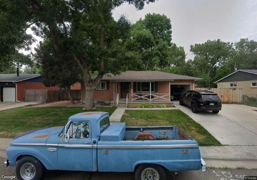
6159 Iris Way Arvada, CO 80004
Alta Vista NeighborhoodEstimated Value: $541,000 - $587,000
2
Beds
2
Baths
2,030
Sq Ft
$275/Sq Ft
Est. Value
About This Home
This home is located at 6159 Iris Way, Arvada, CO 80004 and is currently estimated at $557,801, approximately $274 per square foot. 6159 Iris Way is a home located in Jefferson County with nearby schools including Lawrence Elementary School, North Arvada Middle School, and Arvada High School.
Ownership History
Date
Name
Owned For
Owner Type
Purchase Details
Closed on
Oct 10, 2014
Sold by
Bethune Gary L and Bethune Lisa M
Bought by
Santiago David L
Current Estimated Value
Purchase Details
Closed on
Feb 16, 2006
Sold by
Page Carolyn A
Bought by
Bethune Gary L and Bethune Lisa M
Home Financials for this Owner
Home Financials are based on the most recent Mortgage that was taken out on this home.
Original Mortgage
$151,500
Interest Rate
7%
Mortgage Type
Purchase Money Mortgage
Create a Home Valuation Report for This Property
The Home Valuation Report is an in-depth analysis detailing your home's value as well as a comparison with similar homes in the area
Home Values in the Area
Average Home Value in this Area
Purchase History
| Date | Buyer | Sale Price | Title Company |
|---|---|---|---|
| Santiago David L | $255,000 | First American | |
| Bethune Gary L | $202,000 | Fahtco |
Source: Public Records
Mortgage History
| Date | Status | Borrower | Loan Amount |
|---|---|---|---|
| Previous Owner | Bethune Gary L | $151,500 |
Source: Public Records
Tax History
| Year | Tax Paid | Tax Assessment Tax Assessment Total Assessment is a certain percentage of the fair market value that is determined by local assessors to be the total taxable value of land and additions on the property. | Land | Improvement |
|---|---|---|---|---|
| 2024 | $3,301 | $34,035 | $17,145 | $16,890 |
| 2023 | $3,301 | $34,035 | $17,145 | $16,890 |
| 2022 | $2,757 | $28,148 | $12,530 | $15,618 |
| 2021 | $2,802 | $28,959 | $12,891 | $16,068 |
| 2020 | $2,470 | $25,601 | $10,875 | $14,726 |
| 2019 | $2,437 | $25,601 | $10,875 | $14,726 |
| 2018 | $2,151 | $21,968 | $6,474 | $15,494 |
| 2017 | $1,969 | $21,968 | $6,474 | $15,494 |
| 2016 | $1,632 | $17,153 | $5,539 | $11,614 |
| 2015 | $1,401 | $17,153 | $5,539 | $11,614 |
| 2014 | $1,401 | $13,835 | $4,872 | $8,963 |
Source: Public Records
Map
Nearby Homes
- 6209 Brooks Dr
- 6141 Hoyt St
- 6025 Brooks Dr
- 9656 Rensselaer Dr
- 6075 Garrison St
- 9487 W 58th Ave Unit B
- 9487 W 58th Ave Unit A
- 9457 W 58th Ave Unit B
- 6077 Flower St
- 6069 Lee St
- 9142 Oberon Rd
- 6371 Brooks Dr
- 5890 Holland Ct Unit B
- 9546 W 58th Ave Unit B
- 10211 W 59th Place
- 6376 Brooks Dr
- 8940 Cole Dr
- 9015 W 63rd Ave
- 10322 W 59th Ave Unit 1
- 6240 Everett Ct Unit B
- 6169 Iris Way
- 6149 Iris Way
- 6160 Brooks Dr
- 6179 Iris Way
- 6158 Iris Way
- 6139 Iris Way
- 6150 Brooks Dr
- 6168 Iris Way
- 6148 Iris Way
- 6170 Brooks Dr
- 6140 Brooks Dr
- 6178 Iris Way
- 6189 Iris Way
- 6129 Iris Way
- 9624 W 62nd Place
- 6157 Independence St
- 6147 Independence St
- 6167 Independence St
- 6130 Brooks Dr
- 6128 Iris Way
Your Personal Tour Guide
Ask me questions while you tour the home.