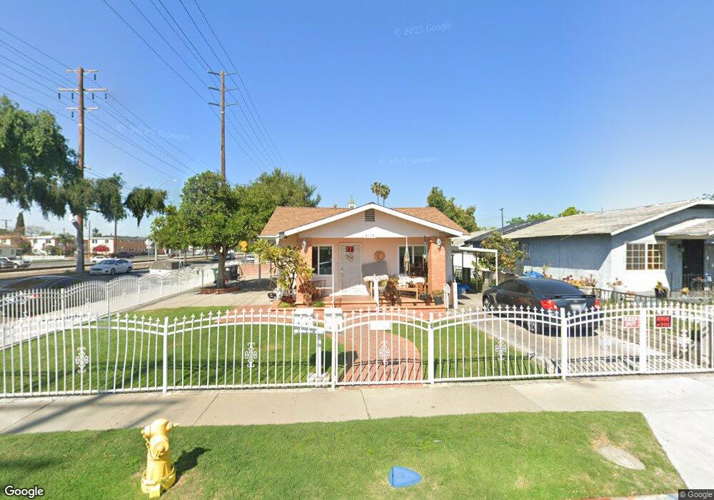
6159 King Ave Maywood, CA 90270
Estimated Value: $584,000 - $877,000
3
Beds
2
Baths
1,420
Sq Ft
$514/Sq Ft
Est. Value
About This Home
This home is located at 6159 King Ave, Maywood, CA 90270 and is currently estimated at $730,000, approximately $514 per square foot. 6159 King Ave is a home located in Los Angeles County with nearby schools including Nueva Vista Elementary School, Chester W. Nimitz Middle School, and Maywood Academy High School.
Ownership History
Date
Name
Owned For
Owner Type
Purchase Details
Closed on
Mar 15, 2023
Sold by
Margaret Dale Jones Trust
Bought by
Acosta Richard and Acosta Barbara
Current Estimated Value
Purchase Details
Closed on
Dec 18, 2015
Sold by
Cavazos Lucy
Bought by
The Margaret Dale Jones Trust and Comerica Bank & National Trust Associati
Purchase Details
Closed on
Dec 18, 2008
Sold by
Jones Margaret Dale
Bought by
Jones Margaret Dale and The Margaret Dale Jones Trust
Create a Home Valuation Report for This Property
The Home Valuation Report is an in-depth analysis detailing your home's value as well as a comparison with similar homes in the area
Home Values in the Area
Average Home Value in this Area
Purchase History
We collect this data history from publicly available records. To have your information removed, we recommend requesting removal directly through your county’s website.
| Date | Buyer | Sale Price | Title Company |
|---|---|---|---|
| Acosta Richard | -- | -- | |
| The Margaret Dale Jones Trust | -- | None Available | |
| Jones Margaret Dale | -- | None Available |
Source: Public Records
Tax History
| Year | Tax Paid | Tax Assessment Tax Assessment Total Assessment is a certain percentage of the fair market value that is determined by local assessors to be the total taxable value of land and additions on the property. | Land | Improvement |
|---|---|---|---|---|
| 2025 | $9,656 | $686,664 | $520,200 | $166,464 |
| 2024 | $9,373 | $673,200 | $510,000 | $163,200 |
| 2023 | $2,462 | $142,133 | $61,724 | $80,409 |
| 2022 | $2,371 | $139,347 | $60,514 | $78,833 |
| 2021 | $2,341 | $136,616 | $59,328 | $77,288 |
| 2019 | $2,274 | $132,566 | $57,569 | $74,997 |
| 2018 | $2,178 | $129,968 | $56,441 | $73,527 |
| 2016 | $2,019 | $124,923 | $54,250 | $70,673 |
| 2015 | $1,914 | $123,048 | $53,436 | $69,612 |
| 2014 | $1,915 | $120,639 | $52,390 | $68,249 |
Source: Public Records
Map
Nearby Homes
- 6048 King Ave
- 6221 Heliotrope Ave
- 6509 Prospect Ave
- 4301 E 60th St
- 6610 Vinevale Ave
- 0 0 Fir Unit 202604501
- 6838 King Ave
- 5954 Riverside Ave
- 4957 E 59th Place
- 6837 Mayflower Ave
- 4860 Bell Ave
- 4535 E 55th St
- 4361 E 56th St
- 4026 Gage Ave
- 6921 Vinevale Ave
- 5022 Bell Ave
- 6800 Wilcox Ave
- 6901 Wilcox Ave
- 7025 Vinevale Ave
- 4115 Brompton Ave
- 6155 King Ave
- 4569 Randolph St
- 6151 King Ave
- 4565 Randolph St
- 6156 King Ave
- 6147 King Ave
- 4561 Randolph St
- 6143 King Ave
- 6150 Woodward Ave
- 6154 Woodward Ave
- 4611 Randolph St
- 6146 Woodward Ave
- 6144 King Ave
- 6139 King Ave
- 6144 Woodward Ave
- 6135 King Ave
- 6201 King Ave
- 4554 Randolph St
- 6140 King Ave
- 4548 Randolph St
Your Personal Tour Guide
Ask me questions while you tour the home.