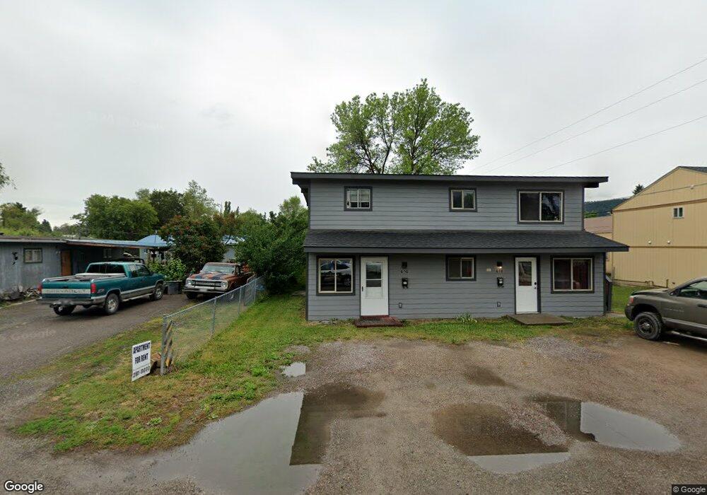
616 11th St W Unit 618 & 620 Kalispell, MT 59901
Estimated Value: $588,000 - $598,000
6
Beds
5
Baths
2,268
Sq Ft
$261/Sq Ft
Est. Value
About This Home
This home is located at 616 11th St W Unit 618 & 620, Kalispell, MT 59901 and is currently estimated at $593,000, approximately $261 per square foot. 616 11th St W Unit 618 & 620 is a home located in Flathead County with nearby schools including Lillian Peterson School, Kalispell Middle School, and Flathead High School.
Ownership History
Date
Name
Owned For
Owner Type
Purchase Details
Closed on
Apr 29, 2021
Sold by
Latpri Llc
Bought by
11Th St W Llc
Current Estimated Value
Home Financials for this Owner
Home Financials are based on the most recent Mortgage that was taken out on this home.
Original Mortgage
$215,277
Outstanding Balance
$194,790
Interest Rate
3%
Mortgage Type
Credit Line Revolving
Estimated Equity
$398,210
Purchase Details
Closed on
Jul 17, 2014
Sold by
Lathrop Reta Lorene and Lathrop Bobby G
Bought by
Latpri Llc
Purchase Details
Closed on
Apr 3, 2013
Sold by
Lathrop Lorene and Estate Of Angie Maria Galloway
Bought by
Lathrop Reta Lorene and Lathrop Bobby G
Create a Home Valuation Report for This Property
The Home Valuation Report is an in-depth analysis detailing your home's value as well as a comparison with similar homes in the area
Home Values in the Area
Average Home Value in this Area
Purchase History
| Date | Buyer | Sale Price | Title Company |
|---|---|---|---|
| 11Th St W Llc | -- | Insured Titles | |
| Latpri Llc | -- | None Available | |
| Lathrop Reta Lorene | -- | None Available |
Source: Public Records
Mortgage History
| Date | Status | Borrower | Loan Amount |
|---|---|---|---|
| Open | 11Th St W Llc | $215,277 |
Source: Public Records
Tax History Compared to Growth
Tax History
| Year | Tax Paid | Tax Assessment Tax Assessment Total Assessment is a certain percentage of the fair market value that is determined by local assessors to be the total taxable value of land and additions on the property. | Land | Improvement |
|---|---|---|---|---|
| 2025 | $2,670 | $508,600 | $0 | $0 |
| 2024 | $3,795 | $487,300 | $0 | $0 |
| 2023 | $4,534 | $487,300 | $0 | $0 |
| 2022 | $3,272 | $325,700 | $0 | $0 |
| 2021 | $2,517 | $233,900 | $0 | $0 |
| 2020 | $2,881 | $197,700 | $0 | $0 |
| 2019 | $2,888 | $197,700 | $0 | $0 |
| 2018 | $2,813 | $183,000 | $0 | $0 |
| 2017 | $1,918 | $183,000 | $0 | $0 |
| 2016 | $2,570 | $179,600 | $0 | $0 |
| 2015 | $2,568 | $179,600 | $0 | $0 |
| 2014 | $2,507 | $104,569 | $0 | $0 |
Source: Public Records
Map
Nearby Homes
- 1308 7th Ave W
- 1313 7th Ave W
- 1483 & 1485 Western Dr
- 901 7th Ave W
- 1517 5th Ave W
- 811 8th Ave W
- 824 8th St W
- 819 9th Ave W
- 209 12th St W
- 1028 2nd Ave W
- 205 12th St W
- 91 Denver Ave
- 811 Ashley Dr
- 135 Rimrock Ct
- 112 Boise Ave
- 1215 Sunnyside Dr
- 305 Bismark St
- 1888 N Belmar Dr
- 514 9th Ave W
- 446 8th Ave W