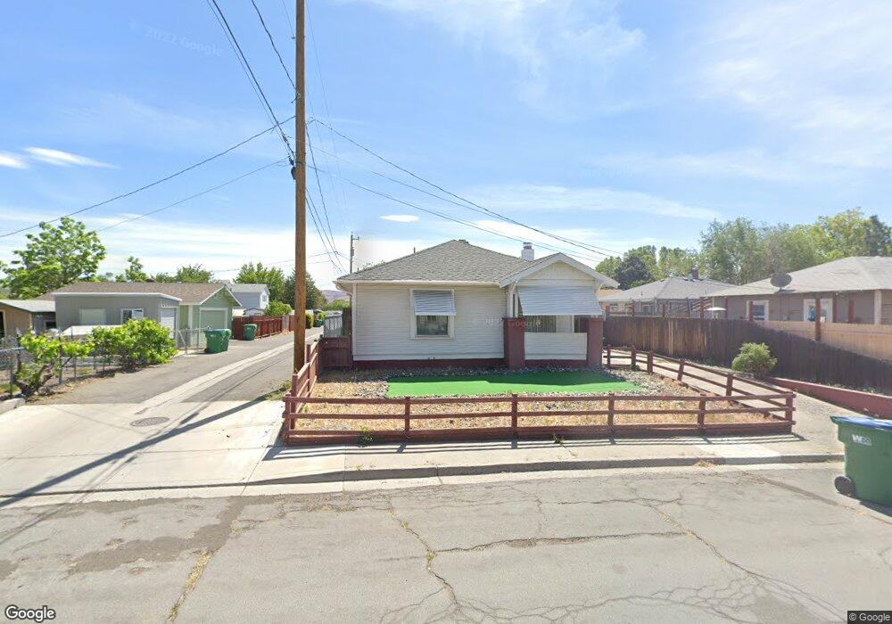
616 18th St Sparks, NV 89431
Downtown Sparks NeighborhoodEstimated Value: $348,000 - $396,000
3
Beds
1
Bath
1,330
Sq Ft
$273/Sq Ft
Est. Value
About This Home
This home is located at 616 18th St, Sparks, NV 89431 and is currently estimated at $363,372, approximately $273 per square foot. 616 18th St is a home located in Washoe County with nearby schools including Kate M Smith Elementary School, Sparks Middle School, and Sparks High School.
Ownership History
Date
Name
Owned For
Owner Type
Purchase Details
Closed on
Dec 22, 1999
Sold by
Ferreyra Joel C
Bought by
Jones Mary T
Current Estimated Value
Home Financials for this Owner
Home Financials are based on the most recent Mortgage that was taken out on this home.
Original Mortgage
$105,633
Outstanding Balance
$32,644
Interest Rate
7.69%
Estimated Equity
$330,728
Purchase Details
Closed on
Mar 30, 1998
Sold by
Aguirre Lopez Carmen L
Bought by
Ferreyra Joel C
Home Financials for this Owner
Home Financials are based on the most recent Mortgage that was taken out on this home.
Original Mortgage
$102,157
Interest Rate
7.06%
Mortgage Type
FHA
Purchase Details
Closed on
Mar 27, 1998
Sold by
Clement Betty Jean
Bought by
Ferreyra Joel C
Home Financials for this Owner
Home Financials are based on the most recent Mortgage that was taken out on this home.
Original Mortgage
$102,157
Interest Rate
7.06%
Mortgage Type
FHA
Create a Home Valuation Report for This Property
The Home Valuation Report is an in-depth analysis detailing your home's value as well as a comparison with similar homes in the area
Home Values in the Area
Average Home Value in this Area
Purchase History
| Date | Buyer | Sale Price | Title Company |
|---|---|---|---|
| Jones Mary T | $109,000 | First Centennial Title Co | |
| Ferreyra Joel C | -- | United Title | |
| Ferreyra Joel C | $103,000 | United Title |
Source: Public Records
Mortgage History
| Date | Status | Borrower | Loan Amount |
|---|---|---|---|
| Open | Jones Mary T | $105,633 | |
| Previous Owner | Ferreyra Joel C | $102,157 | |
| Closed | Jones Mary T | $3,267 |
Source: Public Records
Tax History Compared to Growth
Tax History
| Year | Tax Paid | Tax Assessment Tax Assessment Total Assessment is a certain percentage of the fair market value that is determined by local assessors to be the total taxable value of land and additions on the property. | Land | Improvement |
|---|---|---|---|---|
| 2025 | $678 | $49,855 | $30,091 | $19,763 |
| 2024 | $678 | $45,929 | $26,467 | $19,462 |
| 2023 | $659 | $47,106 | $29,094 | $18,012 |
| 2022 | $640 | $36,199 | $21,546 | $14,653 |
| 2021 | $624 | $29,774 | $15,461 | $14,313 |
| 2020 | $605 | $29,097 | $15,029 | $14,068 |
| 2019 | $587 | $26,210 | $12,934 | $13,276 |
| 2018 | $570 | $22,441 | $9,709 | $12,732 |
| 2017 | $554 | $21,577 | $9,077 | $12,500 |
| 2016 | $540 | $19,518 | $7,049 | $12,469 |
| 2015 | $139 | $17,810 | $5,486 | $12,324 |
| 2014 | $524 | $15,200 | $3,624 | $11,576 |
| 2013 | -- | $13,906 | $2,594 | $11,312 |
Source: Public Records
Map
Nearby Homes
- 1720 G St
- 848 Rock Blvd
- 1756 I St
- 1830 C St
- 2002 F St
- 234 18th St
- 973 Damon Ln
- 2136 Roundhouse Rd
- 1841 Merchant St
- 1536 Irene Way
- 1560 Steven Ct Unit 2
- 1527 Steven Ct
- 2168 Cannonball Rd
- 1889 Merchant St
- 2380 Roundhouse Rd
- 2335 Roundhouse Rd
- 1855 Verano Dr
- 2385 Pauline Ave
- 1010 12th St
- 1780 Greenbrae Dr