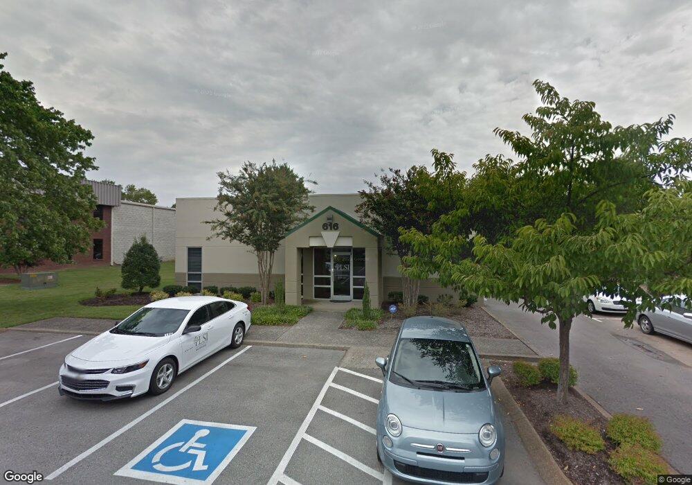
616 Bradley Ct Franklin, TN 37067
McEwen NeighborhoodEstimated Value: $1,402,822
--
Bed
1
Bath
3,000
Sq Ft
$468/Sq Ft
Est. Value
About This Home
This home is located at 616 Bradley Ct, Franklin, TN 37067 and is currently estimated at $1,402,822, approximately $467 per square foot. 616 Bradley Ct is a home located in Williamson County with nearby schools including Johnson Elementary School, Freedom Intermediate School, and Freedom Middle School.
Ownership History
Date
Name
Owned For
Owner Type
Purchase Details
Closed on
Feb 25, 2004
Sold by
Wickham R Hilton
Bought by
Dmw Partners
Current Estimated Value
Purchase Details
Closed on
Oct 12, 2001
Sold by
Datatek International Inc
Bought by
Dmw Partners
Home Financials for this Owner
Home Financials are based on the most recent Mortgage that was taken out on this home.
Original Mortgage
$229,516
Interest Rate
6.87%
Mortgage Type
Commercial
Purchase Details
Closed on
Nov 20, 2000
Sold by
Lafferty Ronald P
Bought by
Datatek International Inc
Purchase Details
Closed on
Dec 5, 1997
Sold by
Datatek International Inc
Bought by
Lafferty Ronald P
Create a Home Valuation Report for This Property
The Home Valuation Report is an in-depth analysis detailing your home's value as well as a comparison with similar homes in the area
Home Values in the Area
Average Home Value in this Area
Purchase History
| Date | Buyer | Sale Price | Title Company |
|---|---|---|---|
| Dmw Partners | -- | -- | |
| Dmw Partners | $379,500 | -- | |
| Datatek International Inc | -- | -- | |
| Lafferty Ronald P | -- | -- |
Source: Public Records
Mortgage History
| Date | Status | Borrower | Loan Amount |
|---|---|---|---|
| Previous Owner | Dmw Partners | $229,516 |
Source: Public Records
Tax History Compared to Growth
Tax History
| Year | Tax Paid | Tax Assessment Tax Assessment Total Assessment is a certain percentage of the fair market value that is determined by local assessors to be the total taxable value of land and additions on the property. | Land | Improvement |
|---|---|---|---|---|
| 2024 | $9,373 | $331,040 | $173,600 | $157,440 |
| 2023 | $9,009 | $331,040 | $173,600 | $157,440 |
| 2022 | $9,009 | $331,040 | $173,600 | $157,440 |
| 2021 | $9,009 | $331,040 | $173,600 | $157,440 |
| 2020 | $8,374 | $259,520 | $117,800 | $141,720 |
| 2019 | $8,374 | $259,520 | $117,800 | $141,720 |
| 2018 | $8,192 | $259,520 | $117,800 | $141,720 |
| 2017 | $8,062 | $259,520 | $117,800 | $141,720 |
| 2016 | $8,036 | $259,520 | $117,800 | $141,720 |
| 2015 | -- | $212,880 | $105,400 | $107,480 |
| 2014 | -- | $212,880 | $105,400 | $107,480 |
Source: Public Records
Map
Nearby Homes
- 1612 Brentwood Pointe
- 1526 Brentwood Pointe Unit 1526
- 1815 Brentwood Pointe
- 921 Brentwood Point
- 9008 Sunrise Cir
- 1833 Brentwood Pointe
- 8009 Sunrise Cir Unit 8009
- 8008 Sunrise Cir Unit 8008
- 6041 Sunrise Cir Unit 6041
- 129 E Hill St
- 121 E Hill St
- 6018 Sunrise Cir Unit 6018
- 1145 Brentwood Point Unit 1145
- 1123 Brentwood Point Unit 1123
- 152 Mallory Station Rd
- 509 Elk Hollow Ct
- 540 Franklin Rd
- 302 Flowerwood Ct Unit 3A
- 517 Franklin Rd
- 1604 Rosewood Ct Unit 3
- 619 Bradley Ct
- 617 Bradley Ct
- 130 Seaboard Ln
- 7127 Crossroads Blvd
- 7127 Crossroads Blvd Unit 103
- 1850 General George Patton Dr
- 130 Seaboard Ln
- 130 Seaboard Ln Unit A6
- 130 Seaboard Ln Unit A4
- 200 Seaboard Ln
- 1651 General George Patton Dr Unit 1651
- 1208 Brentwood Point Unit 1208
- 1210 Brentwood Point Unit 1210
- 1209 Brentwood Point Unit 1209
- 1209 Brentwood Point Unit 1209
- 1207 Brentwood Point Unit 1207
- 1211 Brentwood Point Unit 1211
- 1211 Brentwood Point
- 1206 Brentwood Point Unit 1206
- 1205 Brentwood Point