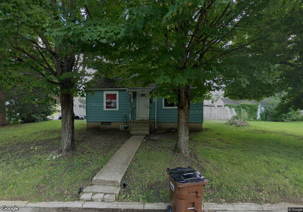
616 Bridge St Franklin, OH 45005
Estimated Value: $148,000 - $201,000
3
Beds
1
Bath
1,004
Sq Ft
$173/Sq Ft
Est. Value
About This Home
This home is located at 616 Bridge St, Franklin, OH 45005 and is currently estimated at $173,516, approximately $172 per square foot. 616 Bridge St is a home located in Warren County with nearby schools including Franklin High School.
Ownership History
Date
Name
Owned For
Owner Type
Purchase Details
Closed on
Oct 17, 2007
Sold by
World Savings Bank Fsb
Bought by
Faulkner Jeff A and The Jeff A Faulkner Family Trust
Current Estimated Value
Purchase Details
Closed on
Apr 18, 2007
Sold by
Webb Benjamin and Case #06Cv65983
Bought by
World Savings Bank Fsb
Purchase Details
Closed on
Jun 16, 2000
Sold by
Kennard James
Bought by
Webb Benjamin and Webb Anna L
Home Financials for this Owner
Home Financials are based on the most recent Mortgage that was taken out on this home.
Original Mortgage
$64,800
Interest Rate
8.31%
Mortgage Type
New Conventional
Purchase Details
Closed on
Jun 30, 1983
Sold by
Kennard Kennard and Kennard James R
Bought by
Kennard Kennard and Kennard James R
Purchase Details
Closed on
Apr 27, 1979
Sold by
Chamberlain Chamberlain and Chamberlain Jean
Create a Home Valuation Report for This Property
The Home Valuation Report is an in-depth analysis detailing your home's value as well as a comparison with similar homes in the area
Home Values in the Area
Average Home Value in this Area
Purchase History
| Date | Buyer | Sale Price | Title Company |
|---|---|---|---|
| Faulkner Jeff A | $42,000 | Technetitle | |
| World Savings Bank Fsb | $53,334 | None Available | |
| Webb Benjamin | $81,000 | -- | |
| Kennard Kennard | -- | -- | |
| -- | $19,000 | -- |
Source: Public Records
Mortgage History
| Date | Status | Borrower | Loan Amount |
|---|---|---|---|
| Previous Owner | Webb Benjamin | $64,800 |
Source: Public Records
Tax History
| Year | Tax Paid | Tax Assessment Tax Assessment Total Assessment is a certain percentage of the fair market value that is determined by local assessors to be the total taxable value of land and additions on the property. | Land | Improvement |
|---|---|---|---|---|
| 2025 | $2,377 | $43,450 | $12,640 | $30,810 |
| 2024 | $2,377 | $43,450 | $12,640 | $30,810 |
| 2023 | $1,865 | $32,361 | $7,164 | $25,196 |
| 2022 | $1,833 | $32,361 | $7,165 | $25,197 |
| 2021 | $1,746 | $32,361 | $7,165 | $25,197 |
| 2020 | $1,588 | $25,680 | $5,684 | $19,996 |
| 2019 | $1,460 | $25,680 | $5,684 | $19,996 |
| 2018 | $1,274 | $25,680 | $5,684 | $19,996 |
| 2017 | $1,505 | $24,294 | $5,460 | $18,834 |
| 2016 | $1,531 | $24,294 | $5,460 | $18,834 |
| 2015 | $1,532 | $24,294 | $5,460 | $18,834 |
| 2014 | $1,566 | $24,290 | $5,460 | $18,830 |
| 2013 | $1,186 | $28,100 | $6,320 | $21,780 |
Source: Public Records
Map
Nearby Homes
- 228 Bridge St
- 804 Victoria Dr
- 0 Victoria Dr Unit 942075
- 0 Victoria Dr Unit 1852824
- 165 Elaine Dr
- 5 S River St
- 11 Highridge Ct
- 533 Spring Ave
- 21 Skokiaan Dr
- 205 Oxford Rd
- 551 E 2nd St
- 410 Park Ave
- 616 Lake Ave
- 651 E 2nd St
- 202 E 2nd St
- 509 Forest Ave
- 5711 Fairview Dr
- 511 Forest Ave
- 309 Oxford Rd
- 114 Fairview Dr
Your Personal Tour Guide
Ask me questions while you tour the home.