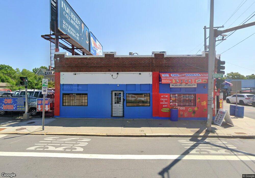
616 Broad St Providence, RI 02907
Upper South Providence NeighborhoodEstimated Value: $801,808
Studio
--
Bath
--
Sq Ft
16,553
Sq Ft Lot
About This Home
This home is located at 616 Broad St, Providence, RI 02907 and is currently estimated at $801,808. 616 Broad St is a home located in Providence County with nearby schools including Trinity Academy for the Performing Arts, French-American School of Rhode Island, and Wheeler School.
Ownership History
Date
Name
Owned For
Owner Type
Purchase Details
Closed on
Feb 18, 2014
Sold by
616 Broad St Realty Ll
Bought by
616 Broad St Realty Ll
Current Estimated Value
Purchase Details
Closed on
Oct 6, 2009
Sold by
Velez Cirilo E
Bought by
816 Broad Street Rlty
Purchase Details
Closed on
Jul 28, 2005
Sold by
Pantoja Wilson
Bought by
Velez Cirilo E
Home Financials for this Owner
Home Financials are based on the most recent Mortgage that was taken out on this home.
Original Mortgage
$299,700
Interest Rate
5.67%
Mortgage Type
Commercial
Create a Home Valuation Report for This Property
The Home Valuation Report is an in-depth analysis detailing your home's value as well as a comparison with similar homes in the area
Home Values in the Area
Average Home Value in this Area
Purchase History
| Date | Buyer | Sale Price | Title Company |
|---|---|---|---|
| 616 Broad St Realty Ll | $3,041 | -- | |
| 816 Broad Street Rlty | -- | -- | |
| Velez Cirilo E | $463,000 | -- |
Source: Public Records
Mortgage History
| Date | Status | Borrower | Loan Amount |
|---|---|---|---|
| Previous Owner | Velez Cirilo E | $46,300 | |
| Previous Owner | Velez Cirilo E | $299,700 | |
| Previous Owner | Velez Cirilo E | $46,300 | |
| Previous Owner | Velez Cirilo E | $294,000 |
Source: Public Records
Tax History
| Year | Tax Paid | Tax Assessment Tax Assessment Total Assessment is a certain percentage of the fair market value that is determined by local assessors to be the total taxable value of land and additions on the property. | Land | Improvement |
|---|---|---|---|---|
| 2025 | $18,557 | $635,500 | $265,300 | $370,200 |
| 2024 | $18,273 | $516,200 | $0 | $0 |
| 2023 | $18,273 | $398,300 | $176,900 | $221,400 |
| 2022 | $0 | $516,200 | $176,900 | $339,300 |
| 2021 | $0 | $435,300 | $161,600 | $273,700 |
| 2020 | $15,976 | $435,300 | $161,600 | $273,700 |
| 2019 | $15,976 | $435,300 | $161,600 | $273,700 |
| 2018 | $15,968 | $435,100 | $161,600 | $273,500 |
| 2017 | $15,968 | $435,100 | $161,600 | $273,500 |
| 2016 | $15,968 | $435,100 | $161,600 | $273,500 |
| 2015 | $14,913 | $405,800 | $153,900 | $251,900 |
| 2014 | $14,913 | $405,800 | $153,900 | $251,900 |
| 2013 | $20,859 | $567,600 | $153,900 | $413,700 |
Source: Public Records
Map
Nearby Homes
- 3 Mount Vernon St
- 61 Whitmarsh St
- 171 Reynolds Ave
- 344 Blackstone St
- 394 Blackstone St
- 61 Stanwood St
- 296 Potters Ave
- 512 Pine St Unit C3
- 217 Elmwood Ave
- 462 Prairie Ave
- 649 Public St
- 26 Cromwell St
- 24 Reynolds Ave
- 38 Mitchell St
- 67 Wilson St
- 71 Wilson St
- 131 Mitchell St
- 9 Hayward St
- 14 Burnside St
- 33 Ford St
- 620 Broad St
- 348 Willard St
- 603 Broad St
- 603 Broad St Unit 1st Floor
- 48 Wesleyan Ave
- 357 Willard Ave
- 9 Plenty St
- 640 Broad St
- 360 Willard Ave
- 599 Broad St
- 358 Willard Ave
- 355 Willard Ave
- 40 Wesleyan Ave
- 80 Wesleyan Ave
- 596 Broad St
- 141 Chester Ave
- 57 Wesleyan Ave
- 345 Willard Ave
- 84 Wesleyan Ave
- 32 Wesleyan Ave
Your Personal Tour Guide
Ask me questions while you tour the home.