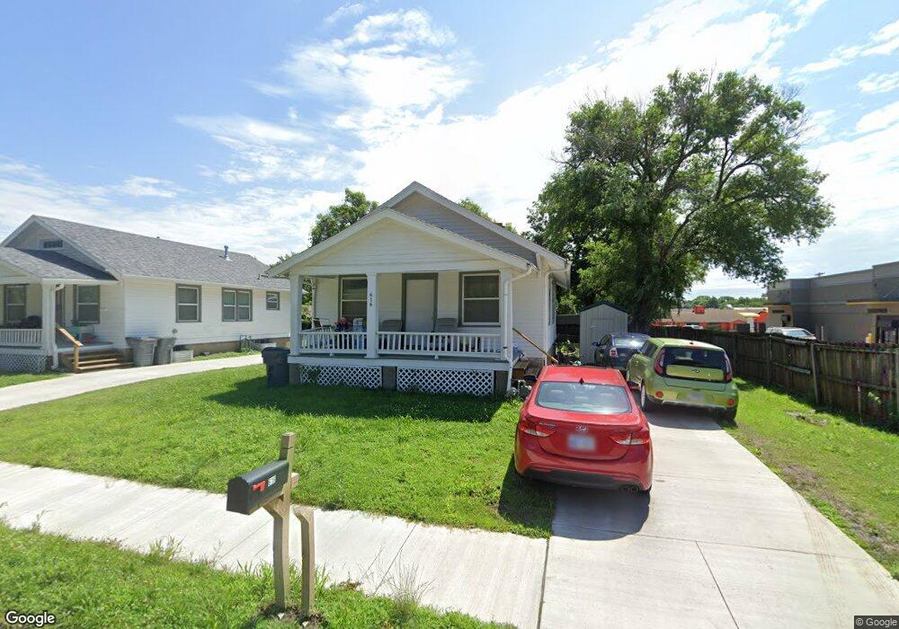
616 Elm St Emporia, KS 66801
Estimated Value: $128,000 - $186,000
2
Beds
1
Bath
816
Sq Ft
$181/Sq Ft
Est. Value
About This Home
This home is located at 616 Elm St, Emporia, KS 66801 and is currently estimated at $147,620, approximately $180 per square foot. 616 Elm St is a home located in Lyon County with nearby schools including Village Elementary School, Emporia Middle School, and Emporia High School.
Ownership History
Date
Name
Owned For
Owner Type
Purchase Details
Closed on
Jun 17, 2024
Sold by
Olmsted Gerald N and Olmsted Luella K
Bought by
Sanders Crystal D
Current Estimated Value
Home Financials for this Owner
Home Financials are based on the most recent Mortgage that was taken out on this home.
Original Mortgage
$117,500
Outstanding Balance
$113,068
Interest Rate
0.68%
Mortgage Type
New Conventional
Estimated Equity
$34,552
Purchase Details
Closed on
Sep 28, 2020
Sold by
Bmac Ents Llc
Bought by
Olmsted Gerald N and Sandstrom John P
Create a Home Valuation Report for This Property
The Home Valuation Report is an in-depth analysis detailing your home's value as well as a comparison with similar homes in the area
Home Values in the Area
Average Home Value in this Area
Purchase History
| Date | Buyer | Sale Price | Title Company |
|---|---|---|---|
| Sanders Crystal D | $146,875 | -- | |
| Olmsted Gerald N | -- | -- | |
| Double T Enterprises | -- | -- |
Source: Public Records
Mortgage History
| Date | Status | Borrower | Loan Amount |
|---|---|---|---|
| Open | Sanders Crystal D | $117,500 |
Source: Public Records
Tax History Compared to Growth
Tax History
| Year | Tax Paid | Tax Assessment Tax Assessment Total Assessment is a certain percentage of the fair market value that is determined by local assessors to be the total taxable value of land and additions on the property. | Land | Improvement |
|---|---|---|---|---|
| 2025 | $5,005 | $13,742 | $1,166 | $12,576 |
| 2024 | $5,005 | $37,478 | $5,093 | $32,385 |
| 2023 | $5,798 | $35,006 | $4,836 | $30,170 |
| 2022 | $4,513 | $28,200 | $2,479 | $25,721 |
| 2021 | $3,656 | $23,064 | $3,402 | $19,662 |
| 2020 | $2,993 | $22,713 | $727 | $21,986 |
| 2019 | $2,993 | $20,137 | $2,721 | $17,416 |
| 2018 | $3,285 | $1,285 | $1,285 | $0 |
| 2017 | $216 | $1,285 | $1,285 | $0 |
| 2016 | $216 | $1,285 | $1,285 | $0 |
| 2015 | -- | $1,285 | $1,285 | $0 |
| 2014 | -- | $1,828 | $1,828 | $0 |
Source: Public Records
Map
Nearby Homes
- 634 Lincoln St
- 874 W 5th Ave
- 746 W 7th Ave
- 419 Arundel St
- 742 W 7th Ave
- 801 W 7th Ave
- 916 Garfield St
- 616 Sherman St
- 807 W 9th Ave
- 718 W 6th Ave
- 712 W 6th Ave
- 302 Garfield St
- 801 Rural St
- 1105 Washington St
- 803 Neosho St
- 1218 Garfield St
- 1614 W 12th Ave
- 1018 Woodland St
- 411 Neosho St
- 1242 Lawrence St