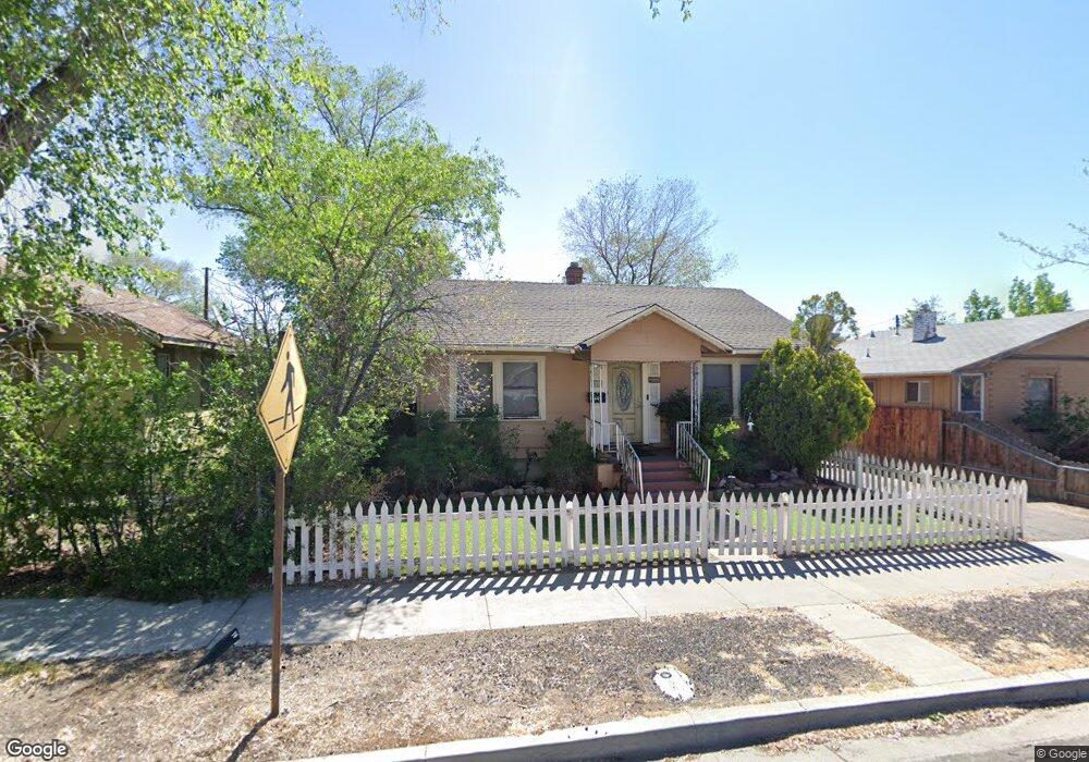
616 Locust St Reno, NV 89502
Wells Avenue District NeighborhoodEstimated Value: $403,000 - $504,000
2
Beds
1
Bath
1,062
Sq Ft
$425/Sq Ft
Est. Value
About This Home
This home is located at 616 Locust St, Reno, NV 89502 and is currently estimated at $450,874, approximately $424 per square foot. 616 Locust St is a home located in Washoe County with nearby schools including Libby C Booth Elementary School, Vaughn Middle School, and Earl Wooster High School.
Ownership History
Date
Name
Owned For
Owner Type
Purchase Details
Closed on
Jan 25, 2013
Sold by
Renfroe Lori
Bought by
Renfroe Lori R and Greenwalt Shawnee E
Current Estimated Value
Home Financials for this Owner
Home Financials are based on the most recent Mortgage that was taken out on this home.
Original Mortgage
$139,292
Outstanding Balance
$95,980
Interest Rate
3.33%
Mortgage Type
New Conventional
Estimated Equity
$354,894
Purchase Details
Closed on
Nov 21, 1995
Sold by
Schafer Katina I
Bought by
Renfroe Lori
Home Financials for this Owner
Home Financials are based on the most recent Mortgage that was taken out on this home.
Original Mortgage
$70,000
Interest Rate
7.51%
Create a Home Valuation Report for This Property
The Home Valuation Report is an in-depth analysis detailing your home's value as well as a comparison with similar homes in the area
Home Values in the Area
Average Home Value in this Area
Purchase History
| Date | Buyer | Sale Price | Title Company |
|---|---|---|---|
| Renfroe Lori R | $105,000 | Ticor Title Reno | |
| Renfroe Lori | $89,000 | Founders Title Co |
Source: Public Records
Mortgage History
| Date | Status | Borrower | Loan Amount |
|---|---|---|---|
| Open | Renfroe Lori R | $139,292 | |
| Previous Owner | Renfroe Lori | $70,000 |
Source: Public Records
Tax History
| Year | Tax Paid | Tax Assessment Tax Assessment Total Assessment is a certain percentage of the fair market value that is determined by local assessors to be the total taxable value of land and additions on the property. | Land | Improvement |
|---|---|---|---|---|
| 2026 | $517 | $50,676 | $33,117 | $17,559 |
| 2025 | $683 | $49,960 | $32,552 | $17,409 |
| 2024 | $661 | $48,529 | $31,388 | $17,141 |
| 2023 | $661 | $47,609 | $31,721 | $15,888 |
| 2022 | $642 | $39,360 | $26,434 | $12,927 |
| 2021 | $625 | $29,958 | $17,357 | $12,601 |
| 2020 | $604 | $30,446 | $18,088 | $12,358 |
| 2019 | $586 | $27,262 | $15,827 | $11,435 |
| 2018 | $570 | $22,390 | $11,405 | $10,985 |
| 2017 | $553 | $20,694 | $9,909 | $10,785 |
| 2016 | $537 | $19,302 | $8,811 | $10,491 |
| 2015 | $538 | $17,415 | $6,983 | $10,432 |
| 2014 | $523 | $15,031 | $4,988 | $10,043 |
| 2013 | -- | $13,629 | $3,824 | $9,805 |
Source: Public Records
Map
Nearby Homes
- 661 Thoma St
- 459 Cheney St
- 453 Cheney St
- 446 Roberts St
- 943 S Wells Ave
- 330 Stewart St
- 400 Claremont St
- 939 Bates Ave
- 243 Claremont St
- 755 Balzar Cir
- 536 Sinclair St
- 880 S Center St
- 800 S Center St
- 101 S Wells Ave
- 825 Cordone Ave
- 1339 Locust St
- 627 E 2nd St
- 60 Caliente St
- 512 Humboldt St
- 537 Colorado River Blvd
Your Personal Tour Guide
Ask me questions while you tour the home.