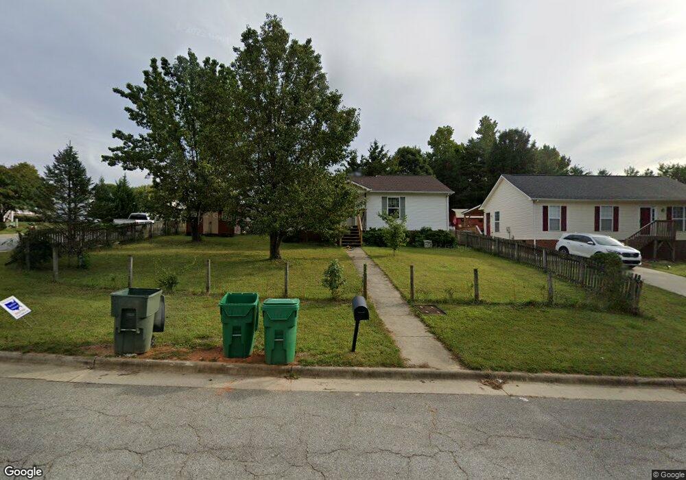
616 Rolling Green Dr High Point, NC 27260
Greater High Point NeighborhoodEstimated Value: $90,000 - $220,000
3
Beds
2
Baths
1,036
Sq Ft
$154/Sq Ft
Est. Value
About This Home
This home is located at 616 Rolling Green Dr, High Point, NC 27260 and is currently estimated at $159,434, approximately $153 per square foot. 616 Rolling Green Dr is a home located in Guilford County with nearby schools including Jamestown Elementary School, Southwest Guilford Middle School, and Southwest Guilford High School.
Ownership History
Date
Name
Owned For
Owner Type
Purchase Details
Closed on
May 22, 2007
Sold by
Flatt Jacob M and Flatt Samaralee G
Bought by
Flatt Samaralee G
Current Estimated Value
Purchase Details
Closed on
Oct 6, 1998
Sold by
Mcs Development Company Inc
Bought by
Flatt Jacob M and Flatt Samaralee G
Home Financials for this Owner
Home Financials are based on the most recent Mortgage that was taken out on this home.
Original Mortgage
$74,080
Outstanding Balance
$16,303
Interest Rate
6.96%
Mortgage Type
FHA
Estimated Equity
$143,131
Create a Home Valuation Report for This Property
The Home Valuation Report is an in-depth analysis detailing your home's value as well as a comparison with similar homes in the area
Home Values in the Area
Average Home Value in this Area
Purchase History
| Date | Buyer | Sale Price | Title Company |
|---|---|---|---|
| Flatt Samaralee G | -- | None Available | |
| Flatt Jacob M | $74,500 | -- |
Source: Public Records
Mortgage History
| Date | Status | Borrower | Loan Amount |
|---|---|---|---|
| Open | Flatt Jacob M | $74,080 |
Source: Public Records
Tax History Compared to Growth
Tax History
| Year | Tax Paid | Tax Assessment Tax Assessment Total Assessment is a certain percentage of the fair market value that is determined by local assessors to be the total taxable value of land and additions on the property. | Land | Improvement |
|---|---|---|---|---|
| 2025 | $1,381 | $100,200 | $22,000 | $78,200 |
| 2024 | $1,381 | $100,200 | $22,000 | $78,200 |
| 2023 | $1,381 | $100,200 | $22,000 | $78,200 |
| 2022 | $1,351 | $100,200 | $22,000 | $78,200 |
| 2021 | $1,137 | $82,500 | $14,000 | $68,500 |
| 2020 | $1,137 | $82,500 | $14,000 | $68,500 |
| 2019 | $1,137 | $82,500 | $0 | $0 |
| 2018 | $1,131 | $82,500 | $0 | $0 |
| 2017 | $1,137 | $82,500 | $0 | $0 |
| 2016 | $1,199 | $85,500 | $0 | $0 |
| 2015 | $1,206 | $85,500 | $0 | $0 |
| 2014 | $1,226 | $85,500 | $0 | $0 |
Source: Public Records
Map
Nearby Homes
- 1514 Kingsway Dr
- 600 Greensboro Rd
- 116 Orville Dr
- 106 Crestwood Cir
- 615 Hendrix St
- 1005 Gordon St
- 1007 Gordon St
- 2622 Woodruff Ave
- 701 Locust Place
- 303 Northridge Rd
- 2507 E Lexington Ave
- 2515 Dallas Ave
- 1227 Greensboro Rd
- 735 Hendrix St
- 737 Hendrix St
- 2305 Delaware Place
- 404 Hickory Chapel Rd
- 2410 Dallas Ave
- 3546 Gardner Parson Point
- 627 Spring Garden Cir
- 614 Rolling Green Dr
- 1623 Tracer Place
- 519 Rolling Green Dr
- 612 Rolling Green Dr
- 1619 Tracer Place
- 1628 Tracer Place
- 700 Rolling Green Dr
- 610 Rolling Green Dr
- 623 Rolling Green Dr
- 621 Rolling Green Dr
- 1620 Tracer Place
- 625 Rolling Green Dr
- 619 Rolling Green Dr
- 1615 Tracer Place
- 701 Rolling Green Dr
- 608 Rolling Green Dr
- 1618 Tracer Place
- 617 Rolling Green Dr
- 1611 Tracer Place
- 703 Rolling Green Dr