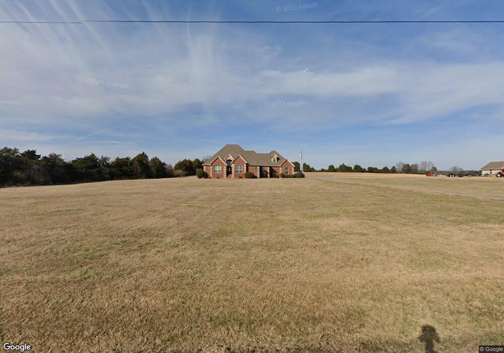
616 Webb Hill Rd Mc Rae, AR 72102
Estimated Value: $415,000 - $510,000
Studio
3
Baths
2,628
Sq Ft
$170/Sq Ft
Est. Value
About This Home
This home is located at 616 Webb Hill Rd, Mc Rae, AR 72102 and is currently estimated at $446,080, approximately $169 per square foot. 616 Webb Hill Rd is a home located in White County with nearby schools including Beebe Elementary School, Beebe Junior High School, and Beebe Middle School.
Ownership History
Date
Name
Owned For
Owner Type
Purchase Details
Closed on
Jun 16, 2005
Sold by
Sas Farms Llc
Bought by
Smith William Bryan and Smith Lori Diane
Current Estimated Value
Home Financials for this Owner
Home Financials are based on the most recent Mortgage that was taken out on this home.
Original Mortgage
$190,000
Interest Rate
5.78%
Mortgage Type
Construction
Create a Home Valuation Report for This Property
The Home Valuation Report is an in-depth analysis detailing your home's value as well as a comparison with similar homes in the area
Purchase History
| Date | Buyer | Sale Price | Title Company |
|---|---|---|---|
| Smith William Bryan | -- | None Available |
Source: Public Records
Mortgage History
| Date | Status | Borrower | Loan Amount |
|---|---|---|---|
| Previous Owner | Smith William Bryan | $190,000 |
Source: Public Records
Tax History
| Year | Tax Paid | Tax Assessment Tax Assessment Total Assessment is a certain percentage of the fair market value that is determined by local assessors to be the total taxable value of land and additions on the property. | Land | Improvement |
|---|---|---|---|---|
| 2025 | $2,409 | $59,180 | $9,870 | $49,310 |
| 2024 | $2,409 | $59,180 | $9,870 | $49,310 |
| 2023 | $1,984 | $59,180 | $9,870 | $49,310 |
| 2022 | $2,027 | $59,180 | $9,870 | $49,310 |
| 2021 | $1,918 | $59,180 | $9,870 | $49,310 |
| 2020 | $1,809 | $53,660 | $8,380 | $45,280 |
| 2019 | $1,806 | $53,660 | $8,380 | $45,280 |
| 2018 | $1,740 | $53,660 | $8,380 | $45,280 |
| 2017 | $1,909 | $53,660 | $8,380 | $45,280 |
| 2016 | $1,909 | $46,900 | $8,380 | $38,520 |
| 2015 | $1,745 | $42,880 | $3,790 | $39,090 |
| 2014 | $1,672 | $41,090 | $3,790 | $37,300 |
Source: Public Records
Map
Nearby Homes
- 592 Shiloh Rd
- 112 Blue Hole Rd
- 125 Powder River Dr
- 112 Powder River Dr
- 108 Powder River Dr
- 102 Powder River Dr
- 118 Powder River Dr
- 106 Powder River Dr
- 127 Powder River Dr
- 120 Powder River Dr
- 104 Powder River Dr
- 110 Powder River Dr
- 121 Powder River Dr
- 116 Powder River Dr
- 119 Powder River Dr
- Lot 5 Kenzie CV Rocky Branch Estates
- Lot 2 Kenzie Rd Rocky Branch Estates
- 000 Shiloh Rd
- 444 Blue Hole Rd
- 117 Big Mountain Rd
- 612 Webb Hill Rd
- 608 Webb Hill Rd
- 607 Webb Hill Rd
- 123 Strayhorn Rd
- 625 Webb Hill Rd
- 194 Strayhorn Rd
- 191 Blue Hole Rd
- 0 Water Ridge Dr Unit 17034751
- 586 Strayhorn Loop
- 120 Water Ridge Rd
- 112 Water Ridge Rd
- 116 Water Ridge Rd
- 108 Water Ridge Rd
- 101 Andrews Ln
- 214 Blue Hole Rd
- 269 Blue Hole Rd
- 265 Blue Hole Rd
- 109 Water Ridge Rd
- 100 Water Ridge Rd
- 260 Blue Hole Rd
Your Personal Tour Guide
Ask me questions while you tour the home.