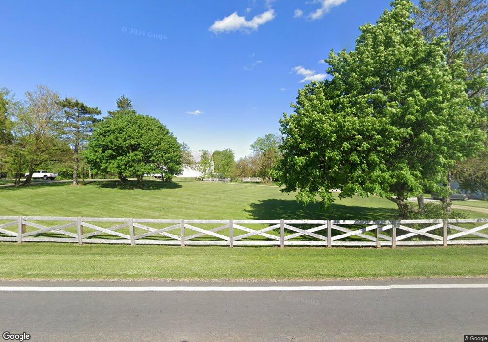
6165 State Route 201 Tipp City, OH 45371
Estimated Value: $330,139 - $436,000
4
Beds
2
Baths
3,683
Sq Ft
$104/Sq Ft
Est. Value
About This Home
This home is located at 6165 State Route 201, Tipp City, OH 45371 and is currently estimated at $383,070, approximately $104 per square foot. 6165 State Route 201 is a home located in Miami County with nearby schools including Bethel Elementary School, Bethel Middle School, and Bethel High School.
Ownership History
Date
Name
Owned For
Owner Type
Purchase Details
Closed on
Jan 8, 2016
Sold by
Coy Craig D and Inman Donna J
Bought by
Snediker J C
Current Estimated Value
Home Financials for this Owner
Home Financials are based on the most recent Mortgage that was taken out on this home.
Original Mortgage
$144,500
Outstanding Balance
$114,811
Interest Rate
3.93%
Mortgage Type
Purchase Money Mortgage
Estimated Equity
$268,259
Purchase Details
Closed on
Oct 24, 1990
Bought by
Harrington Frederick W
Create a Home Valuation Report for This Property
The Home Valuation Report is an in-depth analysis detailing your home's value as well as a comparison with similar homes in the area
Home Values in the Area
Average Home Value in this Area
Purchase History
| Date | Buyer | Sale Price | Title Company |
|---|---|---|---|
| Snediker J C | $170,000 | Attorney | |
| Harrington Frederick W | $187,000 | -- |
Source: Public Records
Mortgage History
| Date | Status | Borrower | Loan Amount |
|---|---|---|---|
| Open | Snediker J C | $144,500 |
Source: Public Records
Tax History Compared to Growth
Tax History
| Year | Tax Paid | Tax Assessment Tax Assessment Total Assessment is a certain percentage of the fair market value that is determined by local assessors to be the total taxable value of land and additions on the property. | Land | Improvement |
|---|---|---|---|---|
| 2024 | $1,944 | $76,050 | $33,490 | $42,560 |
| 2023 | $3,661 | $76,050 | $33,490 | $42,560 |
| 2022 | $3,622 | $76,050 | $33,490 | $42,560 |
| 2021 | $3,832 | $74,890 | $32,330 | $42,560 |
| 2020 | $3,809 | $74,890 | $32,330 | $42,560 |
| 2019 | $3,853 | $74,890 | $32,330 | $42,560 |
| 2018 | $3,584 | $64,920 | $38,040 | $26,880 |
| 2017 | $3,588 | $64,920 | $38,040 | $26,880 |
| 2016 | $3,264 | $64,920 | $38,040 | $26,880 |
| 2015 | $7,525 | $78,650 | $52,820 | $25,830 |
| 2014 | $7,525 | $78,650 | $52,820 | $25,830 |
| 2013 | $2,716 | $59,930 | $34,100 | $25,830 |
Source: Public Records
Map
Nearby Homes
- 0 Ohio 201
- 7817 Ohio 201
- 7540 Agenbroad Rd
- 7032 Honeylocust St
- 7715 E New Carlisle Rd
- 605 Fenview Dr
- 5315 E State Route 571
- 1101 Cambridge Ct Unit 1103
- 907 White Pine St
- 930 Firwood Dr
- 210 Zimmerman St
- 6782 Us Route 40
- 8540 Mann Rd
- 224 Orth Dr
- 7337 Ross Rd
- 6780 E Walnut St
- 129 Solar Dr
- 302 N Smith St
- 6345 Ohio 202
- 6161 State Route 201
- 7100 E State Route 571
- 7060 E State Route 571
- 6285 State Route 201
- 7198 E State Route 571
- 6365 State Route 201
- 7232 E State Route 571
- 7130 Ohio 571
- 6425 State Route 201
- 7130 E State Route 571
- 7298 E State Route 571
- 7025 E State Route 571
- 6420 State Route 201
- 7305 E State Route 571
- 7193 Studebaker Rd
- 7051 Studebaker Rd
- 7135 E State Route 571
- 5970 State Route 201
- 7336 E State Route 571
- 7336 Ohio 571