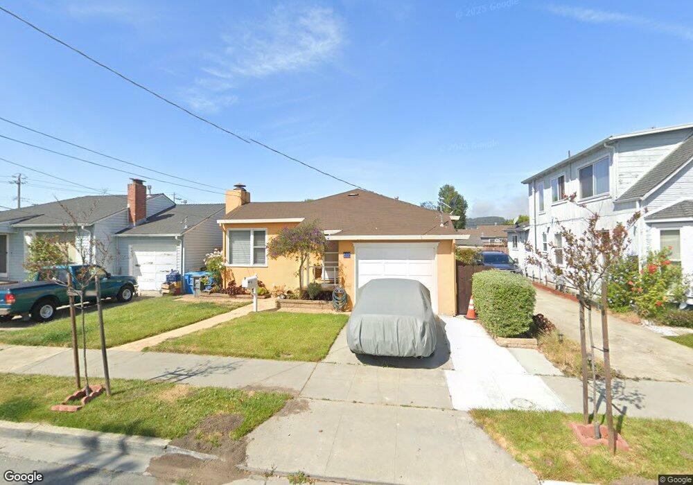
617 5th Ave San Bruno, CA 94066
Belle Air Park NeighborhoodEstimated Value: $915,000 - $1,088,000
3
Beds
1
Bath
930
Sq Ft
$1,060/Sq Ft
Est. Value
About This Home
This home is located at 617 5th Ave, San Bruno, CA 94066 and is currently estimated at $985,455, approximately $1,059 per square foot. 617 5th Ave is a home located in San Mateo County with nearby schools including Belle Air Elementary School, Parkside Intermediate School, and Capuchino High School.
Ownership History
Date
Name
Owned For
Owner Type
Purchase Details
Closed on
Jan 28, 2011
Sold by
Donlucas Jesus and Donlucas Gloria
Bought by
Donlucas Jesus and Donlucas Gloria
Current Estimated Value
Purchase Details
Closed on
Oct 15, 1996
Sold by
Molver Susanne L
Bought by
Donlucas Jesus and Donlucas Gloria
Home Financials for this Owner
Home Financials are based on the most recent Mortgage that was taken out on this home.
Original Mortgage
$110,000
Outstanding Balance
$10,288
Interest Rate
8.3%
Estimated Equity
$975,167
Create a Home Valuation Report for This Property
The Home Valuation Report is an in-depth analysis detailing your home's value as well as a comparison with similar homes in the area
Home Values in the Area
Average Home Value in this Area
Purchase History
| Date | Buyer | Sale Price | Title Company |
|---|---|---|---|
| Donlucas Jesus | -- | None Available | |
| Donlucas Jesus | $185,000 | Commonwealth Land Title Co |
Source: Public Records
Mortgage History
| Date | Status | Borrower | Loan Amount |
|---|---|---|---|
| Open | Donlucas Jesus | $110,000 |
Source: Public Records
Tax History
| Year | Tax Paid | Tax Assessment Tax Assessment Total Assessment is a certain percentage of the fair market value that is determined by local assessors to be the total taxable value of land and additions on the property. | Land | Improvement |
|---|---|---|---|---|
| 2025 | $3,980 | $301,270 | $150,635 | $150,635 |
| 2023 | $3,980 | $289,574 | $144,787 | $144,787 |
| 2022 | $3,216 | $283,898 | $141,949 | $141,949 |
| 2021 | $3,175 | $278,332 | $139,166 | $139,166 |
| 2020 | $3,145 | $275,480 | $137,740 | $137,740 |
| 2019 | $3,095 | $270,080 | $135,040 | $135,040 |
| 2018 | $2,944 | $264,786 | $132,393 | $132,393 |
| 2017 | $2,913 | $259,596 | $129,798 | $129,798 |
| 2016 | $2,847 | $254,506 | $127,253 | $127,253 |
| 2015 | $2,810 | $250,684 | $125,342 | $125,342 |
| 2014 | $2,769 | $245,774 | $122,887 | $122,887 |
Source: Public Records
Map
Nearby Homes
- 608 7th Ave
- 741 5th Ave
- 525 Huntington Ave
- 462 Milton Ave
- 877 6th Ave
- 596 Walnut St
- 413 Milton Ave
- 293 Florida Ave
- 297 San Anselmo Ave N
- 601 Linden Ave
- 498 Elm Ave
- 1015 Herman St
- 271 El Camino Real
- 116 San Felipe Ave
- 217 San Marco Ave Unit 219
- 998 Hensley Ave
- 960 El Camino Real
- 65 Bayshore Cir
- 183 Poplar Ave
- 353 Hazel Ave
Your Personal Tour Guide
Ask me questions while you tour the home.