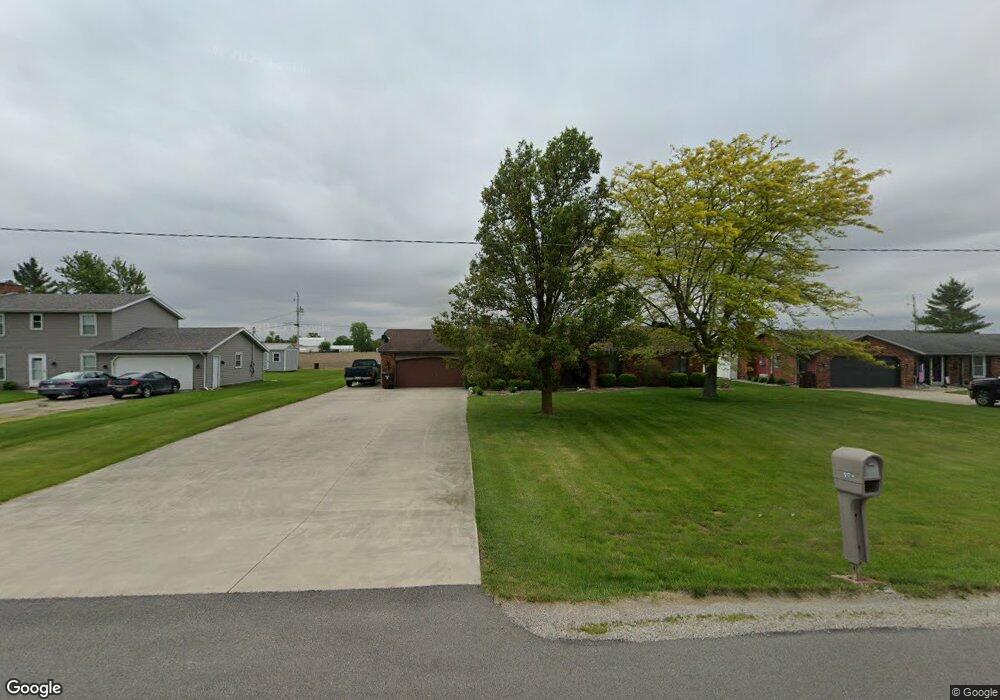
617 Airport Rd Paulding, OH 45879
Estimated Value: $163,000 - $191,000
3
Beds
2
Baths
1,400
Sq Ft
$124/Sq Ft
Est. Value
About This Home
This home is located at 617 Airport Rd, Paulding, OH 45879 and is currently estimated at $173,069, approximately $123 per square foot. 617 Airport Rd is a home located in Paulding County with nearby schools including Paulding High School.
Ownership History
Date
Name
Owned For
Owner Type
Purchase Details
Closed on
Oct 7, 2014
Sold by
Johanns Philip Allan and Johanns Cheryl Kay
Bought by
Johanns Philip Allan and Johanns Cheryl Kay
Current Estimated Value
Purchase Details
Closed on
Sep 17, 2007
Sold by
Souder Allen D and Souder Joyce E
Bought by
Johanns Philip A and Johanns Cheryl K
Home Financials for this Owner
Home Financials are based on the most recent Mortgage that was taken out on this home.
Original Mortgage
$119,500
Interest Rate
6.55%
Mortgage Type
Purchase Money Mortgage
Create a Home Valuation Report for This Property
The Home Valuation Report is an in-depth analysis detailing your home's value as well as a comparison with similar homes in the area
Home Values in the Area
Average Home Value in this Area
Purchase History
| Date | Buyer | Sale Price | Title Company |
|---|---|---|---|
| Johanns Philip Allan | -- | None Available | |
| Johanns Philip A | $119,500 | None Available |
Source: Public Records
Mortgage History
| Date | Status | Borrower | Loan Amount |
|---|---|---|---|
| Previous Owner | Johanns Philip A | $119,500 |
Source: Public Records
Tax History Compared to Growth
Tax History
| Year | Tax Paid | Tax Assessment Tax Assessment Total Assessment is a certain percentage of the fair market value that is determined by local assessors to be the total taxable value of land and additions on the property. | Land | Improvement |
|---|---|---|---|---|
| 2024 | $1,043 | $42,810 | $4,690 | $38,120 |
| 2023 | $1,043 | $42,810 | $4,690 | $38,120 |
| 2022 | $1,484 | $42,810 | $4,690 | $38,120 |
| 2021 | $1,122 | $31,680 | $4,690 | $26,990 |
| 2020 | $1,003 | $31,680 | $4,690 | $26,990 |
| 2019 | $1,011 | $30,380 | $4,690 | $25,690 |
| 2018 | $971 | $30,380 | $4,690 | $25,690 |
| 2017 | $972 | $30,380 | $4,690 | $25,690 |
| 2016 | $972 | $30,380 | $4,690 | $25,690 |
| 2015 | $1,038 | $32,200 | $4,690 | $27,510 |
| 2014 | $1,033 | $32,200 | $4,690 | $27,510 |
| 2013 | $1,118 | $32,200 | $4,690 | $27,510 |
Source: Public Records
Map
Nearby Homes
- 13278 Road 115
- 825 Johnson Rd
- 13688 Kay St
- 13876 Kay St
- 13678 Nancy St
- 1065 Emerald Rd
- 13120 Helen St
- 1051 Emerald Rd
- 1045 Emerald Rd
- 12052 Dennis St
- Tract 2 - 0000 Ohio 111
- 0000 Ohio 111
- 418 E Baldwin St
- 320 E Baldwin Ave
- 0 Road 111
- 606 Lincoln Ave
- 752 N Dix St
- 616 N Dix St
- 215 N Dewitt St
- 614 W Jackson St
- 611 Airport Rd
- 623 Airport Rd
- 609 Airport Rd
- 629 Airport Rd
- 601 Airport Rd
- 635 Airport Rd
- 1288 Emerald Rd
- 1280 Emerald Rd
- 1280 Emerald Rd
- 1274 Emerald Rd
- 13257 Road 162
- 1254 Emerald Rd
- 1250 Emerald Rd
- 12737 Road 162
- 1248 Emerald Rd
- 1242 Emerald Rd
- 12705 Road 162
- 1236 Emerald Rd
- 13284 Road 115
- 1230 Emerald Rd