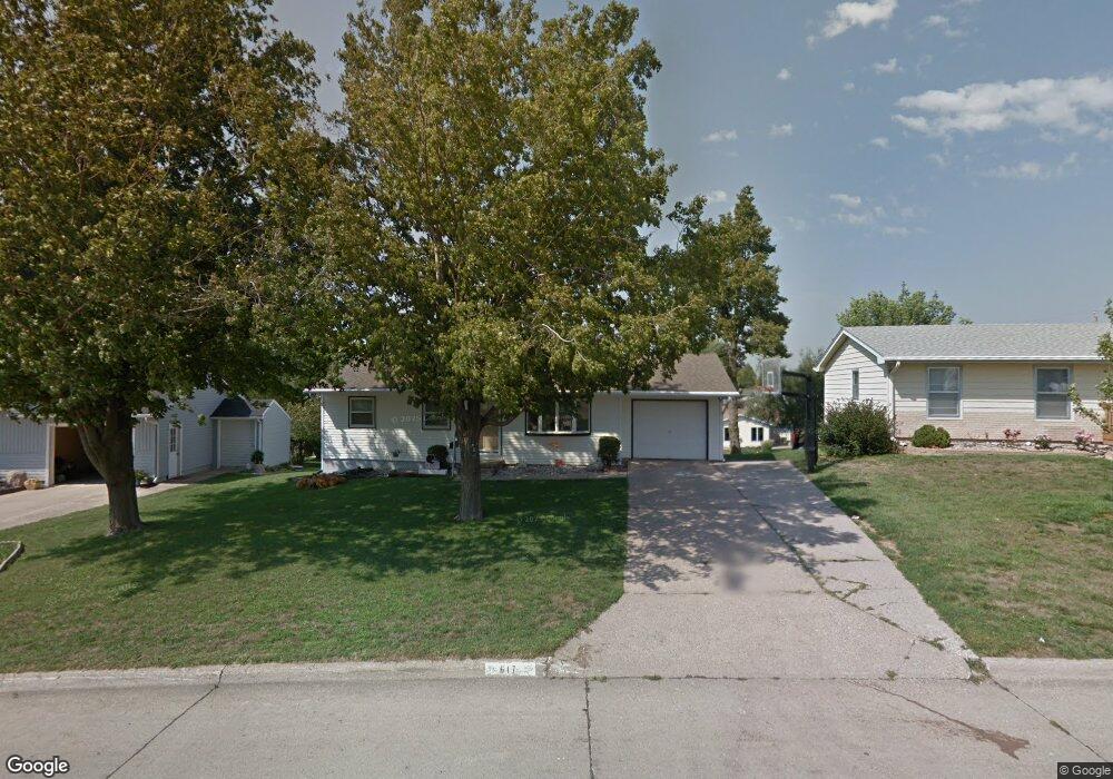
617 E 12th St Carroll, IA 51401
Estimated Value: $159,744 - $206,000
3
Beds
4
Baths
988
Sq Ft
$183/Sq Ft
Est. Value
About This Home
This home is located at 617 E 12th St, Carroll, IA 51401 and is currently estimated at $180,936, approximately $183 per square foot. 617 E 12th St is a home with nearby schools including Fairview Elementary School, Adams Elementary School, and Carroll Middle School.
Ownership History
Date
Name
Owned For
Owner Type
Purchase Details
Closed on
Apr 17, 2005
Sold by
Rolfes Jason T and Rolfes Janelle M
Bought by
Davis Monty J and Davis Sheri J
Current Estimated Value
Home Financials for this Owner
Home Financials are based on the most recent Mortgage that was taken out on this home.
Original Mortgage
$76,000
Outstanding Balance
$39,474
Interest Rate
5.88%
Mortgage Type
New Conventional
Estimated Equity
$141,462
Create a Home Valuation Report for This Property
The Home Valuation Report is an in-depth analysis detailing your home's value as well as a comparison with similar homes in the area
Home Values in the Area
Average Home Value in this Area
Purchase History
| Date | Buyer | Sale Price | Title Company |
|---|---|---|---|
| Davis Monty J | $98,000 | None Available |
Source: Public Records
Mortgage History
| Date | Status | Borrower | Loan Amount |
|---|---|---|---|
| Open | Davis Monty J | $76,000 |
Source: Public Records
Tax History
| Year | Tax Paid | Tax Assessment Tax Assessment Total Assessment is a certain percentage of the fair market value that is determined by local assessors to be the total taxable value of land and additions on the property. | Land | Improvement |
|---|---|---|---|---|
| 2025 | $1,630 | $151,880 | $22,760 | $129,120 |
| 2024 | $16 | $134,580 | $22,760 | $111,820 |
| 2023 | $1,853 | $134,580 | $22,760 | $111,820 |
| 2022 | $1,754 | $129,960 | $19,500 | $110,460 |
| 2021 | $1,754 | $129,960 | $19,500 | $110,460 |
| 2020 | $1,802 | $129,960 | $19,500 | $110,460 |
| 2019 | $1,748 | $129,960 | $19,500 | $110,460 |
| 2018 | $1,644 | $129,960 | $19,500 | $110,460 |
| 2017 | $1,644 | $123,478 | $15,654 | $107,824 |
| 2016 | $1,528 | $115,400 | $0 | $0 |
| 2015 | $1,528 | $105,130 | $0 | $0 |
| 2014 | $1,364 | $105,130 | $0 | $0 |
Source: Public Records
Map
Nearby Homes
- 641 Alta Vista Dr
- 505 Parkview Dr
- 1206 Amy Ave
- 1059 Amy Ave
- 1546 Olive St
- 746 Granada Rd
- 1108 N Main St
- 1550 Edgewood Dr
- 1102 N Main St
- 1208 N Adams St
- 265 Perch St
- 827 N Clark St
- 110 E 10th St
- 1515 N Main St
- 0 Monterey Dr Unit 6307161
- 0 Monterey Dr Unit 6137563
- 804 N Clark St
- 1601 N Main St
- 1124 N Carroll St Unit 11
- 1399 E 11th St
- 621 E 12th St
- 613 E 12th St
- 627 E 12th St
- 614 E 12th St
- 607 E 12th St
- 622 E 12th St
- 632 Alta Vista Dr
- 624 Alta Vista Dr
- 640 Alta Vista Dr
- 630 E 12th St
- 1162 Vine St
- 635 E 12th St
- 601 E 12th St
- 614 Alta Vista Dr
- 702 Alta Vista Dr
- 636 E 12th St
- 1156 Vine St
- 1230 Olive St
- 606 Alta Vista Dr
- 643 E 12th St
Your Personal Tour Guide
Ask me questions while you tour the home.