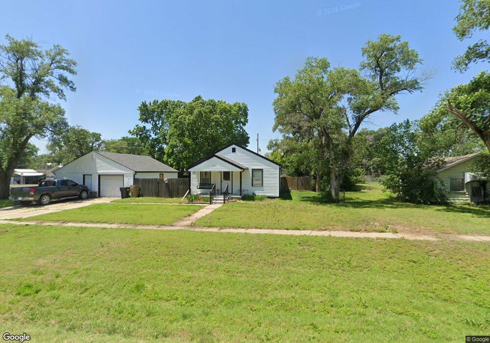
617 N Chemical St Hutchinson, KS 67501
Estimated Value: $60,000 - $85,972
3
Beds
1
Bath
988
Sq Ft
$78/Sq Ft
Est. Value
About This Home
This home is located at 617 N Chemical St, Hutchinson, KS 67501 and is currently estimated at $77,493, approximately $78 per square foot. 617 N Chemical St is a home located in Reno County with nearby schools including McCandless Elementary School, Hutchinson Middle School 8, and Hutchinson High School.
Create a Home Valuation Report for This Property
The Home Valuation Report is an in-depth analysis detailing your home's value as well as a comparison with similar homes in the area
Home Values in the Area
Average Home Value in this Area
Purchase History
| Date | Buyer | Sale Price | Title Company |
|---|---|---|---|
| Varney Curtis D | -- | -- |
Source: Public Records
Tax History Compared to Growth
Tax History
| Year | Tax Paid | Tax Assessment Tax Assessment Total Assessment is a certain percentage of the fair market value that is determined by local assessors to be the total taxable value of land and additions on the property. | Land | Improvement |
|---|---|---|---|---|
| 2024 | $1,180 | $6,987 | $181 | $6,806 |
| 2023 | $1,163 | $6,849 | $164 | $6,685 |
| 2022 | $996 | $5,967 | $164 | $5,803 |
| 2021 | $932 | $5,163 | $164 | $4,999 |
| 2020 | $846 | $5,033 | $164 | $4,869 |
| 2019 | $813 | $4,380 | $164 | $4,216 |
| 2018 | $776 | $4,380 | $164 | $4,216 |
| 2017 | $843 | $4,604 | $164 | $4,440 |
| 2016 | $792 | $4,343 | $164 | $4,179 |
| 2015 | $727 | $4,259 | $166 | $4,093 |
| 2014 | $727 | $4,175 | $166 | $4,009 |
Source: Public Records
Map
Nearby Homes
- 1415 Eastland Dr
- 1500 E 2nd Ave
- 601 E 2nd Ave
- 1218 E 8th Ave
- 1225 E 11th Ave
- 0000 E 14th Ave
- 1213 E 14th Ave
- 929 E 5th Ave
- 1601 Cochran St
- 1004 E Avenue A
- 909 E 2nd Ave
- 812 E 6th Ave
- 1301 E 19th Ave
- 612 Howard St
- 1613 O'Daniel St
- 12 S Severance St
- 900 Cessna Rd
- 700 E 9th Ave
- 724 E 1st Ave
- 1801 E 24th Ave
- 725 N Chemical St
- 609 N Chemical St
- 612 N Star St
- 622 N Star St
- 610 N Star St
- 736 N Chemical St
- 608 N Star St
- 740 N Chemical St
- 605 N Chemical St
- 610 N Chemical St
- 606 N Star St
- 601 N Chemical St
- 606 N Chemical St
- 604 N Star St
- 613 N Star St
- 615 N Star St
- 611 N Star St
- 600 N Chemical St
- 723 N Town St
- 617 N Star St