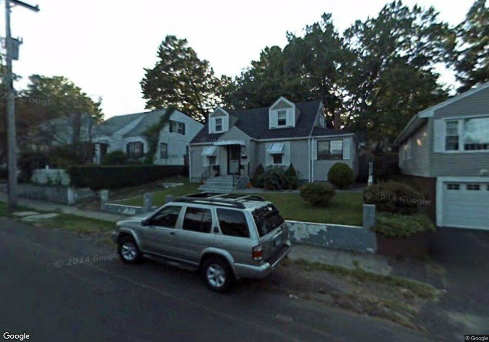
617 N Summerfield Ave Bridgeport, CT 06610
Boston Ave-Mill Hill NeighborhoodEstimated Value: $284,000 - $351,000
3
Beds
2
Baths
1,288
Sq Ft
$245/Sq Ft
Est. Value
About This Home
This home is located at 617 N Summerfield Ave, Bridgeport, CT 06610 and is currently estimated at $315,108, approximately $244 per square foot. 617 N Summerfield Ave is a home located in Fairfield County with nearby schools including Edison School and Harding High School.
Ownership History
Date
Name
Owned For
Owner Type
Purchase Details
Closed on
Jul 31, 2002
Sold by
Hinn Hu and Vann Bura
Bought by
Brevard Annie
Current Estimated Value
Create a Home Valuation Report for This Property
The Home Valuation Report is an in-depth analysis detailing your home's value as well as a comparison with similar homes in the area
Home Values in the Area
Average Home Value in this Area
Purchase History
| Date | Buyer | Sale Price | Title Company |
|---|---|---|---|
| Brevard Annie | $124,000 | -- | |
| Brevard Annie | $124,000 | -- |
Source: Public Records
Mortgage History
| Date | Status | Borrower | Loan Amount |
|---|---|---|---|
| Open | Brevard Annie | $225,000 | |
| Closed | Brevard Annie | $194,400 | |
| Closed | Brevard Annie | $177,000 | |
| Closed | Brevard Annie | $87,500 |
Source: Public Records
Tax History Compared to Growth
Tax History
| Year | Tax Paid | Tax Assessment Tax Assessment Total Assessment is a certain percentage of the fair market value that is determined by local assessors to be the total taxable value of land and additions on the property. | Land | Improvement |
|---|---|---|---|---|
| 2025 | $5,795 | $133,380 | $56,910 | $76,470 |
| 2024 | $5,795 | $133,380 | $56,910 | $76,470 |
| 2023 | $5,795 | $133,380 | $56,910 | $76,470 |
| 2022 | $5,795 | $133,380 | $56,910 | $76,470 |
| 2021 | $5,795 | $133,380 | $56,910 | $76,470 |
| 2020 | $4,470 | $82,790 | $22,490 | $60,300 |
| 2019 | $4,470 | $82,790 | $22,490 | $60,300 |
| 2018 | $4,501 | $82,790 | $22,490 | $60,300 |
| 2017 | $4,501 | $82,790 | $22,490 | $60,300 |
| 2016 | $4,501 | $82,790 | $22,490 | $60,300 |
| 2015 | $4,449 | $105,430 | $31,750 | $73,680 |
| 2014 | $4,449 | $105,430 | $31,750 | $73,680 |
Source: Public Records
Map
Nearby Homes
- 43 Granfield Ave Unit 45
- 37 Granfield Ave Unit 39
- 33 Granfield Ave
- 357 Granfield Ave Unit B
- 361 Granfield Ave Unit Bldg 8, A
- 332 Palisade Ave
- 5 Granfield Ave
- 3 Granfield Ave
- 1575 Boston Ave Unit B2
- 401 Granfield Ave Unit 2
- 260 Success Ave Unit 21
- 242 Pearl Harbor St
- 14 Court a
- 1922 Boston Ave Unit 1924
- 302 Dover St
- 334 Dover St
- 287 Dover St Unit 293
- 295 N Bishop Bld 92 Ave Unit 13
- 290 N Bishop Bishop Ave Unit 12
- 744 Canaan Rd Unit 23
- 607 N Summerfield Ave
- 625 N Summerfield Ave
- 597 N Summerfield Ave
- 10 Pearl Harbor St
- 160 Price St
- 590 N Summerfield Ave
- 618 N Summerfield Ave
- 181 Birdsey St
- 608 N Summerfield Ave
- 191 Birdsey St
- 159 Price St
- 600 N Summerfield Ave
- 149 Price St
- 171 Birdsey St
- 186 Granfield Ave
- 579 N Summerfield Ave
- 204 Granfield Ave
- 150 Price St
- 130 Boston Terrace
- 176 Granfield Ave Unit 178