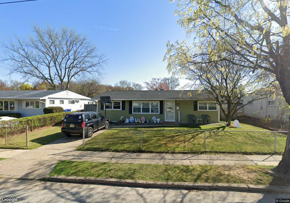
617 Oxford Dr Maple Shade, NJ 08052
Estimated Value: $291,000 - $350,000
--
Bed
--
Bath
1,398
Sq Ft
$228/Sq Ft
Est. Value
About This Home
This home is located at 617 Oxford Dr, Maple Shade, NJ 08052 and is currently estimated at $319,185, approximately $228 per square foot. 617 Oxford Dr is a home located in Burlington County with nearby schools including Ralph J Steinhauer Elementary School, Maude M. Wilkins Elementary School, and Howard R Yocum School.
Ownership History
Date
Name
Owned For
Owner Type
Purchase Details
Closed on
May 26, 2005
Sold by
Shephard Brian S and Shephard Margaret A
Bought by
Ramer Stacy L
Current Estimated Value
Home Financials for this Owner
Home Financials are based on the most recent Mortgage that was taken out on this home.
Original Mortgage
$60,000
Outstanding Balance
$31,364
Interest Rate
5.78%
Mortgage Type
Fannie Mae Freddie Mac
Estimated Equity
$287,821
Create a Home Valuation Report for This Property
The Home Valuation Report is an in-depth analysis detailing your home's value as well as a comparison with similar homes in the area
Home Values in the Area
Average Home Value in this Area
Purchase History
| Date | Buyer | Sale Price | Title Company |
|---|---|---|---|
| Ramer Stacy L | $210,000 | Weichert Title Agency |
Source: Public Records
Mortgage History
| Date | Status | Borrower | Loan Amount |
|---|---|---|---|
| Open | Ramer Stacy L | $60,000 |
Source: Public Records
Tax History Compared to Growth
Tax History
| Year | Tax Paid | Tax Assessment Tax Assessment Total Assessment is a certain percentage of the fair market value that is determined by local assessors to be the total taxable value of land and additions on the property. | Land | Improvement |
|---|---|---|---|---|
| 2025 | $5,664 | $149,200 | $49,000 | $100,200 |
| 2024 | $5,500 | $149,200 | $49,000 | $100,200 |
| 2023 | $5,500 | $149,200 | $49,000 | $100,200 |
| 2022 | $5,414 | $149,200 | $49,000 | $100,200 |
| 2021 | $4,940 | $149,200 | $49,000 | $100,200 |
| 2020 | $5,377 | $149,200 | $49,000 | $100,200 |
| 2019 | $5,180 | $149,200 | $49,000 | $100,200 |
| 2018 | $5,091 | $149,200 | $49,000 | $100,200 |
| 2017 | $5,031 | $149,200 | $49,000 | $100,200 |
| 2016 | $4,956 | $149,200 | $49,000 | $100,200 |
| 2015 | $4,849 | $149,200 | $49,000 | $100,200 |
| 2014 | $4,701 | $149,200 | $49,000 | $100,200 |
Source: Public Records
Map
Nearby Homes
- 41 Orchard Ave
- 12 Collins Ln
- 3422 Palace Ct
- 8704 Park Ave
- 4 W Germantown Ave
- 432 N Coles Ave
- 3423 New Jersey Ct
- 8534 Orchard Ave
- 8331 Stockton Ave
- 301 N Coles Ave
- 8337 Herbert Ave
- 218 E Germantown Ave
- 8221 Corbett Rd
- 480 W Front St
- 8515 Bryn Mawr Ave
- 505 Greenwood Ave
- 29 W Broadway
- 48 N Terrace Ave
- 7750 Hesson Ln
- 7812 Marion Ave