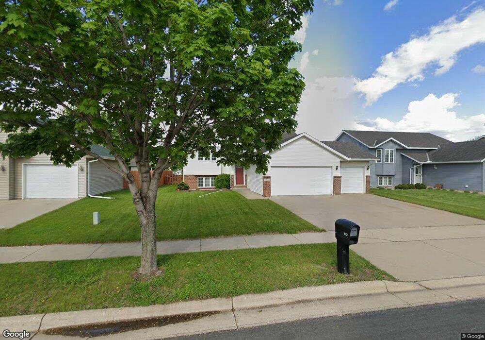
617 Saint Andrews Dr Mankato, MN 56001
Country Club Estates NeighborhoodEstimated Value: $352,606 - $474,000
4
Beds
2
Baths
1,096
Sq Ft
$354/Sq Ft
Est. Value
About This Home
This home is located at 617 Saint Andrews Dr, Mankato, MN 56001 and is currently estimated at $387,902, approximately $353 per square foot. 617 Saint Andrews Dr is a home located in Blue Earth County with nearby schools including Franklin Elementary School, Prairie Winds Middle School, and Mankato East Senior High School.
Ownership History
Date
Name
Owned For
Owner Type
Purchase Details
Closed on
Dec 2, 2016
Sold by
Kletschka Jeffrey and Kletschka Amanda
Bought by
Kunkel Eric and Kunkel Molly
Current Estimated Value
Home Financials for this Owner
Home Financials are based on the most recent Mortgage that was taken out on this home.
Original Mortgage
$165,000
Outstanding Balance
$133,234
Interest Rate
3.52%
Mortgage Type
New Conventional
Estimated Equity
$254,668
Create a Home Valuation Report for This Property
The Home Valuation Report is an in-depth analysis detailing your home's value as well as a comparison with similar homes in the area
Home Values in the Area
Average Home Value in this Area
Purchase History
| Date | Buyer | Sale Price | Title Company |
|---|---|---|---|
| Kunkel Eric | $217,900 | -- |
Source: Public Records
Mortgage History
| Date | Status | Borrower | Loan Amount |
|---|---|---|---|
| Open | Kunkel Eric | $165,000 |
Source: Public Records
Tax History Compared to Growth
Tax History
| Year | Tax Paid | Tax Assessment Tax Assessment Total Assessment is a certain percentage of the fair market value that is determined by local assessors to be the total taxable value of land and additions on the property. | Land | Improvement |
|---|---|---|---|---|
| 2025 | $3,198 | $308,800 | $36,000 | $272,800 |
| 2024 | $3,198 | $298,300 | $36,000 | $262,300 |
| 2023 | $3,224 | $291,700 | $36,000 | $255,700 |
| 2022 | $2,890 | $284,400 | $36,000 | $248,400 |
| 2021 | $2,824 | $240,300 | $36,000 | $204,300 |
| 2020 | $2,704 | $225,300 | $36,000 | $189,300 |
| 2019 | $2,568 | $225,300 | $36,000 | $189,300 |
| 2018 | $2,480 | $214,900 | $30,000 | $184,900 |
| 2017 | $2,374 | $209,200 | $30,000 | $179,200 |
| 2016 | $2,312 | $194,200 | $30,000 | $164,200 |
| 2015 | $21 | $189,800 | $30,000 | $159,800 |
| 2014 | $2,080 | $524,400 | $90,000 | $434,400 |
Source: Public Records
Map
Nearby Homes
- 409 409 Grayhawk Dr
- 640 Grayhawk Dr
- 640 640 Grayhawk Dr
- 101 La Costa Ln
- 117 Ct
- 116 116 Torrey Pines Dr Unit 116 Torrey Pines Dri
- 320 Grovebrook Ct
- 320 320 Grovebrook Ct
- 147 Waynesborough Way
- 147 147 Waynesborough Way
- 0 Tbd St Unit 2 Adams Street
- 520 520 Fontaine Trail
- 0 Tbd Premier Dr Unit 7036425
- 0 Tbd Premier Dr Unit 7034207
- 0 Tbd Premier Dr Unit 7034086
- 0 Tbd Trail Creek Addition Unit 7032677
- 0 Tbd St Andrews Dr Unit 7037517
- 0 Tbd N Victory Dr Unit 7036367
- 105 Dr
- TBD Trail Creek Addition
- 617 617 St Andrews Dr
- 613 Saint Andrews Dr
- 613 613 St Andrews Dr
- 621 Saint Andrews Dr
- 621 621 St Andrews Dr
- 609 St Andrew Dr
- 609 St Andrews Dr
- 108 Spyglass Dr
- 100 Spyglass Dr
- 609 609 St Andrew-Drive-
- 609 609 St Andrews Dr
- 609 Saint Andrews Dr
- 112 Spyglass Dr
- 608 Saint Andrews Dr
- 612 612 St Andrews Dr
- 608 608 St Andrews Dr
- 612 Saint Andrews Dr
- 604 604 St Andrews Dr
- 604 Saint Andrews Dr
- 605 Saint Andrews Dr