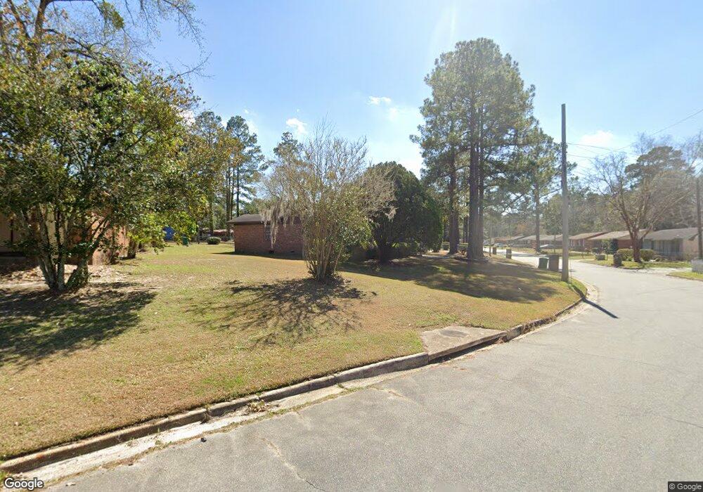
617 Scott Dr Valdosta, GA 31601
Estimated Value: $111,000 - $141,000
3
Beds
2
Baths
1,628
Sq Ft
$76/Sq Ft
Est. Value
About This Home
This home is located at 617 Scott Dr, Valdosta, GA 31601 and is currently estimated at $123,401, approximately $75 per square foot. 617 Scott Dr is a home located in Lowndes County with nearby schools including S.L. Mason Elementary School, Valdosta Middle School, and Valdosta High School.
Ownership History
Date
Name
Owned For
Owner Type
Purchase Details
Closed on
Oct 14, 1977
Bought by
Speed Tommy Lee
Current Estimated Value
Purchase Details
Closed on
Sep 22, 1976
Bought by
Gibbs David C
Purchase Details
Closed on
Aug 25, 1975
Bought by
Deloach Robert G
Purchase Details
Closed on
May 12, 1975
Bought by
Dean Henry
Purchase Details
Closed on
Dec 3, 1974
Bought by
Citizens & Southern Bank
Purchase Details
Closed on
Aug 19, 1970
Bought by
Huff Mike
Create a Home Valuation Report for This Property
The Home Valuation Report is an in-depth analysis detailing your home's value as well as a comparison with similar homes in the area
Home Values in the Area
Average Home Value in this Area
Purchase History
| Date | Buyer | Sale Price | Title Company |
|---|---|---|---|
| Speed Tommy Lee | $1,000 | -- | |
| Gibbs David C | $14,400 | -- | |
| Deloach Robert G | $7,700 | -- | |
| Dean Henry | $12,000 | -- | |
| Citizens & Southern Bank | $11,200 | -- | |
| Huff Mike | -- | -- |
Source: Public Records
Tax History Compared to Growth
Tax History
| Year | Tax Paid | Tax Assessment Tax Assessment Total Assessment is a certain percentage of the fair market value that is determined by local assessors to be the total taxable value of land and additions on the property. | Land | Improvement |
|---|---|---|---|---|
| 2024 | $857 | $30,674 | $2,400 | $28,274 |
| 2023 | $857 | $27,914 | $2,400 | $25,514 |
| 2022 | $743 | $21,991 | $2,400 | $19,591 |
| 2021 | $765 | $21,991 | $2,400 | $19,591 |
| 2020 | $781 | $21,991 | $2,400 | $19,591 |
| 2019 | $781 | $21,991 | $2,400 | $19,591 |
| 2018 | $791 | $21,991 | $2,400 | $19,591 |
| 2017 | $796 | $21,991 | $2,400 | $19,591 |
| 2016 | $795 | $21,991 | $2,400 | $19,591 |
| 2015 | $730 | $21,991 | $2,400 | $19,591 |
| 2014 | $742 | $21,991 | $2,400 | $19,591 |
Source: Public Records
Map
Nearby Homes
- 1202 Melissa Dr
- 1400 Lankford Dr
- 503 Roberts St
- 316 Blitch St
- 820 W Gordon St
- TBD Moss Oak Dr
- 1197 Jo Ree St
- 1522 Woodard St
- 614 Lamar St
- 605 N Saint Augustine Rd
- 808 W Adair St
- 230 Saint Augustine Rd
- 219 N St Augustine Rd
- 303 Nan St
- 203 N Saint Augustine Rd
- 1501 Harmon Dr
- 1911 Baytree Place
- 724 J L Lomax Dr
- * Sustella - Green Unit 3
- 107 Jordan St