617 Shepherds View Trail Corvallis, MT 59828
Estimated Value: $697,000 - $781,000
4
Beds
3
Baths
3,354
Sq Ft
$218/Sq Ft
Est. Value
About This Home
This home is located at 617 Shepherds View Trail, Corvallis, MT 59828 and is currently estimated at $731,140, approximately $217 per square foot. 617 Shepherds View Trail is a home located in Ravalli County with nearby schools including Quentin Brown Primary School and Corvallis High School.
Ownership History
Date
Name
Owned For
Owner Type
Purchase Details
Closed on
Aug 19, 2014
Sold by
Jessop Rulon L and Jessop Jennifer L
Bought by
Sorensen Tony J and Sorensen Lacey M
Current Estimated Value
Home Financials for this Owner
Home Financials are based on the most recent Mortgage that was taken out on this home.
Original Mortgage
$254,600
Outstanding Balance
$194,204
Interest Rate
4.12%
Mortgage Type
New Conventional
Estimated Equity
$544,038
Purchase Details
Closed on
Apr 24, 2006
Bought by
Sorensen Tony J and Sorensen Lacey M
Create a Home Valuation Report for This Property
The Home Valuation Report is an in-depth analysis detailing your home's value as well as a comparison with similar homes in the area
Home Values in the Area
Average Home Value in this Area
Purchase History
| Date | Buyer | Sale Price | Title Company |
|---|---|---|---|
| Sorensen Tony J | $318,250 | -- | |
| Sorensen Tony J | -- | -- |
Source: Public Records
Mortgage History
| Date | Status | Borrower | Loan Amount |
|---|---|---|---|
| Open | Sorensen Tony J | $254,600 |
Source: Public Records
Tax History Compared to Growth
Tax History
| Year | Tax Paid | Tax Assessment Tax Assessment Total Assessment is a certain percentage of the fair market value that is determined by local assessors to be the total taxable value of land and additions on the property. | Land | Improvement |
|---|---|---|---|---|
| 2025 | $1,936 | $572,400 | $0 | $0 |
| 2024 | $2,529 | $481,200 | $0 | $0 |
| 2023 | $2,623 | $481,200 | $0 | $0 |
| 2022 | $2,423 | $381,000 | $0 | $0 |
| 2021 | $2,620 | $381,000 | $0 | $0 |
| 2020 | $2,436 | $328,200 | $0 | $0 |
| 2019 | $2,394 | $328,200 | $0 | $0 |
| 2018 | $2,296 | $294,600 | $0 | $0 |
| 2017 | $2,132 | $294,600 | $0 | $0 |
| 2016 | $1,856 | $253,900 | $0 | $0 |
| 2015 | $1,834 | $253,900 | $0 | $0 |
| 2014 | $1,790 | $145,379 | $0 | $0 |
Source: Public Records
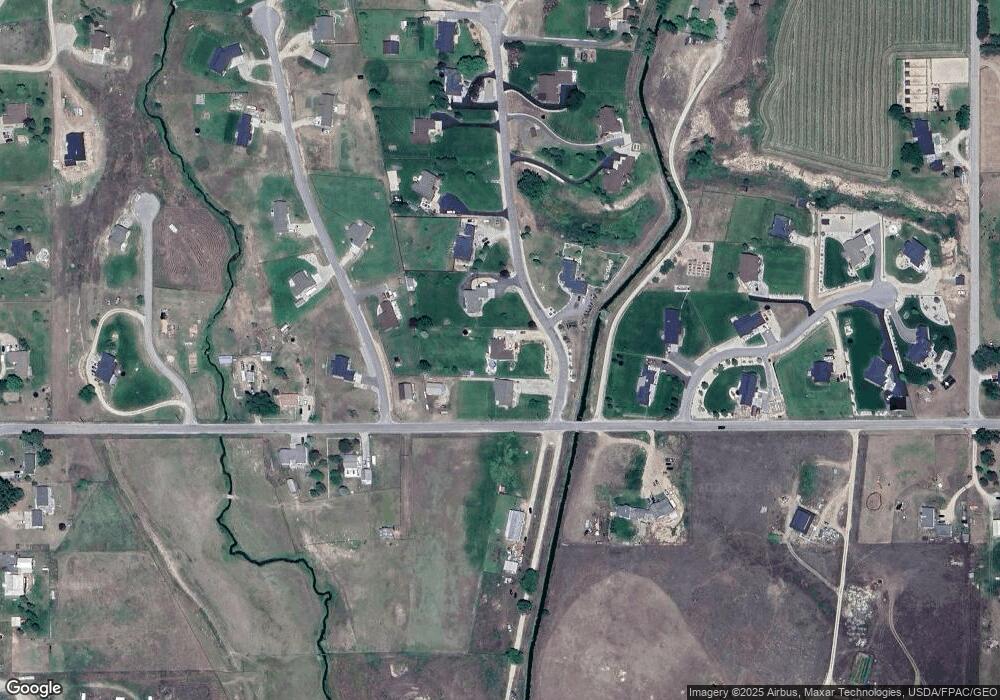
Map
Nearby Homes
- 649 Warbler Ln
- 612 Wises Way
- 470 Salmon Way
- 407 Joseph Dr
- 807 Honey House Ln
- 423 Bedrock Dr
- 553 Cow Creek Ln
- 412 Bass Ln
- 514 Hamilton Heights Rd Unit 4
- 514 Hamilton Heights Rd Unit 5
- 514 Hamilton Heights Rd Unit 6
- 514 Hamilton Heights Rd Unit 3
- 514 Hamilton Heights Rd Unit 2
- 514 Hamilton Heights Rd Unit 1
- 486 Ryans Way
- 587 Wolfe Trail
- 130 Martin Dr
- 472 Magpie Ln
- 321 Black Ln
- 780 and 770 Mason Ln
- 605 Shepherds View Trail
- 631 Shepherds View Trail
- 613 Shepherds View Trail
- 618 Winding Creek Trail
- 634 Shepherds View Trail
- 643 Shepherds View Trail
- 583 Bass Ln
- 115 Hidden Arbor Trail
- 655 Shepherds View Trail
- 115 Hidden Arbor Trail
- 634 Winding Creek Trail
- 582 Bass Ln
- 589 Bass Ln
- 660 Shepherds View Trail
- 563 Bass Ln
- 669 Shepherds View Trail
- 669 Sheperds View Trail
- Lot 4-A1 Hidden Arbor
- Lot 4-A6 Hidden Arbor
- Lot 4-A5 Hidden Arbor