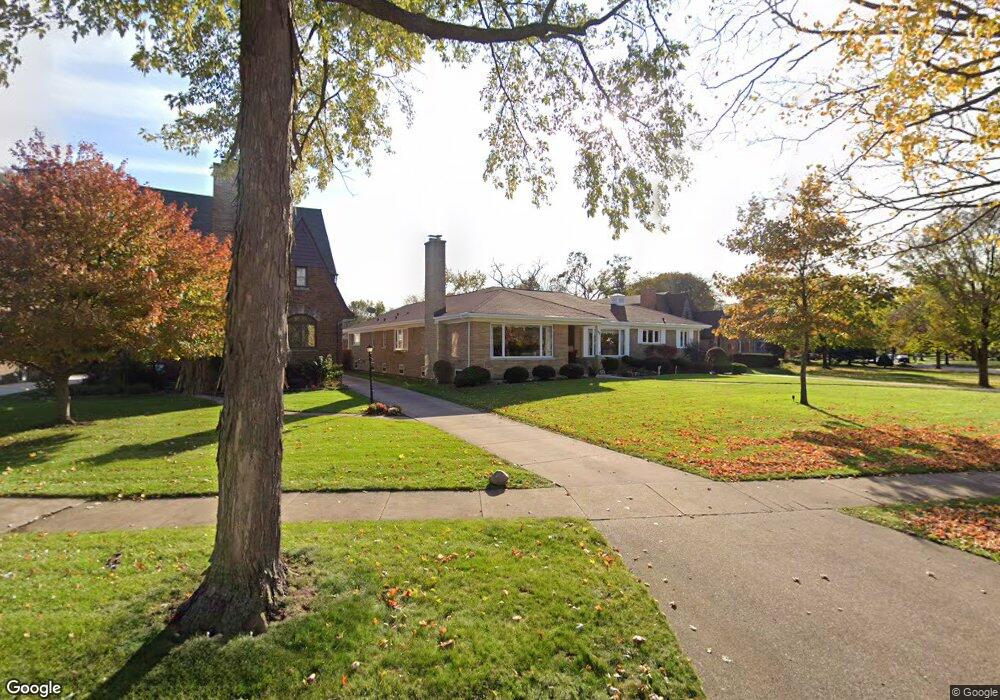
617 Uvedale Rd Riverside, IL 60546
Estimated Value: $792,000 - $933,000
About This Home
This home is located at 617 Uvedale Rd, Riverside, IL 60546 and is currently estimated at $843,099, approximately $245 per square foot. 617 Uvedale Rd is a home located in Cook County with nearby schools including Blythe Park Elementary School, L J Hauser Jr High School, and Riverside Brookfield High School.
Ownership History
We collect this data history from publicly available records. To have your information removed, we recommend requesting removal directly through your county’s website.
Purchase Details
Purchase Details
Home Values in the Area
Average Home Value in this Area
Purchase History
We collect this data history from publicly available records. To have your information removed, we recommend requesting removal directly through your county’s website.
| Date | Buyer | Sale Price | Title Company |
|---|---|---|---|
| -- | None Available | ||
| $615,000 | 1St American Title |
Tax History
We collect this data history from publicly available records. To have your information removed, we recommend requesting removal directly through your county’s website.
| Year | Tax Paid | Tax Assessment Tax Assessment Total Assessment is a certain percentage of the fair market value that is determined by local assessors to be the total taxable value of land and additions on the property. | Land | Improvement |
|---|---|---|---|---|
| 2025 | $18,134 | $60,000 | $19,220 | $40,780 |
| 2024 | $18,134 | $60,000 | $19,220 | $40,780 |
| 2023 | $16,311 | $60,000 | $19,220 | $40,780 |
| 2022 | $16,311 | $46,006 | $16,818 | $29,188 |
| 2021 | $15,706 | $46,004 | $16,817 | $29,187 |
| 2020 | $15,273 | $46,004 | $16,817 | $29,187 |
| 2019 | $17,593 | $53,414 | $15,376 | $38,038 |
| 2018 | $17,074 | $53,414 | $15,376 | $38,038 |
| 2017 | $16,540 | $53,414 | $15,376 | $38,038 |
| 2016 | $16,196 | $48,486 | $13,454 | $35,032 |
| 2015 | $16,892 | $51,714 | $13,454 | $38,260 |
| 2014 | $16,621 | $51,714 | $13,454 | $38,260 |
| 2013 | $14,640 | $49,558 | $13,454 | $36,104 |
Map
- 564 Selborne Rd
- 731 Selborne Rd
- 234 Southcote Rd
- 404 Shenstone Rd
- 443 Shenstone Rd
- 475 Shenstone Rd Unit 304
- 7047 26th Pkwy
- 7023 29th Place
- 2841 Wenonah Ave
- 389 Addison Rd
- 2356 Lathrop Ave
- 2718 Kenilworth Ave
- 3100 Clinton Ave
- 21 N Herbert Rd Unit I
- 2500 Westover Ave
- 3224 Home Ave
- 2359 Burr Oak Ave
- 6840 30th St
- 350 N Delaplaine Rd
- 6938 Riverside Dr
- 335 Southcote Rd
- 621 Uvedale Rd
- 333 Southcote Rd
- 625 Selborne Rd
- 629 Selborne Rd
- 323 Southcote Rd
- 633 Selborne Rd
- 450 Longcommon Rd
- 637 Selborne Rd
- 442 Longcommon Rd
- 454 Longcommon Rd
- 317 Southcote Rd
- 324 Southcote Rd
- 462 Longcommon Rd
- 332 Southcote Rd
- 645 Selborne Rd
- 311 Southcote Rd
- 438 Longcommon Rd
- 628 Selborne Rd
- 318 Southcote Rd
Ask me questions while you tour the home.