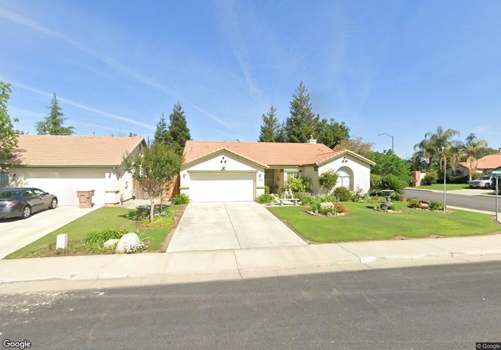
617 Wanstead Ln Bakersfield, CA 93312
Fairway Oaks NeighborhoodEstimated Value: $410,100 - $434,000
4
Beds
2
Baths
1,880
Sq Ft
$226/Sq Ft
Est. Value
About This Home
This home is located at 617 Wanstead Ln, Bakersfield, CA 93312 and is currently estimated at $425,775, approximately $226 per square foot. 617 Wanstead Ln is a home located in Kern County with nearby schools including Columbia Elementary School, Liberty High School, and Country Christian School.
Ownership History
Date
Name
Owned For
Owner Type
Purchase Details
Closed on
Jul 7, 2008
Sold by
Monks Clemeth Eugene and The Clemeth Eugene & Susie Ser
Bought by
Monks Clemeth Eugene and The Clemeth Eugene & Susie Ser
Current Estimated Value
Home Financials for this Owner
Home Financials are based on the most recent Mortgage that was taken out on this home.
Original Mortgage
$315,000
Outstanding Balance
$178,104
Interest Rate
3.75%
Mortgage Type
Reverse Mortgage Home Equity Conversion Mortgage
Estimated Equity
$247,671
Purchase Details
Closed on
Jun 6, 2000
Sold by
Monks Clem and Monks Susie Serilda
Bought by
Monks Clem and Monks Clem
Purchase Details
Closed on
Sep 2, 1999
Sold by
Coleman Homes Inc
Bought by
Monks Clem and Monks Serilda
Create a Home Valuation Report for This Property
The Home Valuation Report is an in-depth analysis detailing your home's value as well as a comparison with similar homes in the area
Home Values in the Area
Average Home Value in this Area
Purchase History
| Date | Buyer | Sale Price | Title Company |
|---|---|---|---|
| Monks Clemeth Eugene | -- | Placer Title Company | |
| Monks Clem | -- | -- | |
| Monks Clem | $123,000 | American Title Co |
Source: Public Records
Mortgage History
| Date | Status | Borrower | Loan Amount |
|---|---|---|---|
| Open | Monks Clemeth Eugene | $315,000 |
Source: Public Records
Tax History
| Year | Tax Paid | Tax Assessment Tax Assessment Total Assessment is a certain percentage of the fair market value that is determined by local assessors to be the total taxable value of land and additions on the property. | Land | Improvement |
|---|---|---|---|---|
| 2025 | $2,842 | $188,410 | $38,413 | $149,997 |
| 2024 | $2,787 | $184,716 | $37,660 | $147,056 |
| 2023 | $2,787 | $181,095 | $36,922 | $144,173 |
| 2022 | $2,733 | $177,546 | $36,199 | $141,347 |
| 2021 | $2,623 | $174,066 | $35,490 | $138,576 |
| 2020 | $2,610 | $172,283 | $35,127 | $137,156 |
| 2019 | $2,490 | $172,283 | $35,127 | $137,156 |
| 2018 | $2,502 | $165,595 | $33,764 | $131,831 |
| 2017 | $2,444 | $162,349 | $33,102 | $129,247 |
| 2016 | $2,291 | $159,166 | $32,453 | $126,713 |
| 2015 | $2,267 | $156,776 | $31,966 | $124,810 |
| 2014 | $2,217 | $153,706 | $31,340 | $122,366 |
Source: Public Records
Map
Nearby Homes
- 10207 Bay Colony Dr
- 804 Loch Lloyd Ln
- 9820 Battersea Park Dr
- 9801 Marby Grange Way
- 10301 Olympia Fields Dr
- 9727 Battersea Park Dr
- 9930 Brimhall Rd
- 9506 Ravenwood Dr
- 10616 Iron Creek Ave
- 9503 Ravenwood Dr
- 10418 Brimhall Rd
- 1001 Dunwoody Way
- 9406 Forbes Park Dr
- 711 Crown Pointe Dr
- 801 Crown Pointe Dr
- 10723 Iron Creek Ave
- 10407 Gainsborough Ct Unit 3
- 10727 Iron Creek Ave
- 10514 Brimhall Rd
- 10711 Four Bears Dr
- 615 Wanstead Ln
- 609 Wanstead Ln
- 10021 Marby Grange Way
- 10106 Marby Grange Way
- 10102 Marby Grange Way
- 605 Wanstead Ln
- 10020 Marby Grange Way
- 10014 Metherly Hill Rd
- 10017 Marby Grange Way
- 10101 Bay Colony Dr
- 10105 Bay Colony Dr
- 10109 Bay Colony Dr
- 601 Wanstead Ln
- 10010 Metherly Hill Rd
- 10015 Marby Grange Way
- 10115 Bay Colony Dr
- 10200 Marby Grange Way
- 10117 Bay Colony Dr
- 10023 Metherly Hill Rd
Your Personal Tour Guide
Ask me questions while you tour the home.