Estimated Value: $749,000 - $1,121,000
5
Beds
2
Baths
5,106
Sq Ft
$182/Sq Ft
Est. Value
About This Home
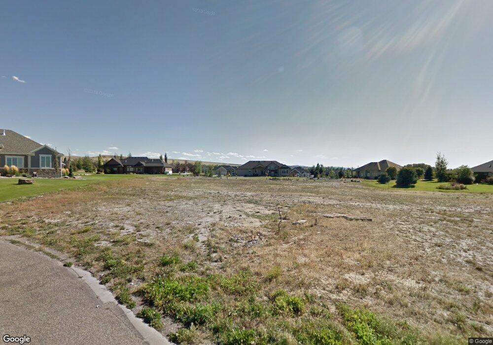
This home is located at 6170 Pheasant Dr, Ammon, ID 83401 and is currently estimated at $927,667, approximately $181 per square foot. 6170 Pheasant Dr is a home with nearby schools including Rimrock Elementary School, Sandcreek Middle School, and Hillcrest High School.
Ownership History
Date
Name
Owned For
Owner Type
Purchase Details
Closed on
Dec 14, 2021
Sold by
So Perla Llc
Bought by
Stevens Kyle and Stevens Kaeli
Current Estimated Value
Purchase Details
Closed on
Jun 29, 2020
Sold by
Catanese John and Catanese Heather
Bought by
So Perla Llc
Purchase Details
Closed on
Mar 31, 2017
Sold by
Bingham David and Bingham Janell
Bought by
Catanese John and Catanese Heather
Purchase Details
Closed on
Jun 1, 2016
Sold by
Alcs Llc
Bought by
Blngham David and Blngham Janell
Create a Home Valuation Report for This Property
The Home Valuation Report is an in-depth analysis detailing your home's value as well as a comparison with similar homes in the area
Home Values in the Area
Average Home Value in this Area
Purchase History
| Date | Buyer | Sale Price | Title Company |
|---|---|---|---|
| Stevens Kyle | -- | Titleone Corp As An | |
| So Perla Llc | -- | Titleone Twin Falls | |
| Catanese John | -- | First American Title | |
| Blngham David | -- | Amerititle Idaho Falls |
Source: Public Records
Tax History Compared to Growth
Tax History
| Year | Tax Paid | Tax Assessment Tax Assessment Total Assessment is a certain percentage of the fair market value that is determined by local assessors to be the total taxable value of land and additions on the property. | Land | Improvement |
|---|---|---|---|---|
| 2025 | $5,137 | $1,108,906 | $129,748 | $979,158 |
| 2024 | $5,137 | $1,058,922 | $104,756 | $954,166 |
| 2023 | $4,809 | $1,009,326 | $104,756 | $904,570 |
| 2022 | $540 | $77,167 | $77,167 | $0 |
| 2021 | $737 | $69,191 | $69,191 | $0 |
| 2019 | $754 | $61,642 | $61,642 | $0 |
| 2018 | $763 | $57,313 | $57,313 | $0 |
| 2017 | $664 | $56,470 | $56,470 | $0 |
| 2016 | $668 | $49,418 | $49,418 | $0 |
| 2015 | $652 | $49,418 | $49,418 | $0 |
| 2014 | $11,785 | $49,418 | $49,418 | $0 |
| 2013 | $676 | $52,176 | $49,417 | $2,759 |
Source: Public Records
Map
Nearby Homes
- TBD E Foothill Rd
- 6850 Valverde St
- TBD Purple Sage Dr
- 6588 E Crown Crescent
- 6568 E Crown Crescent
- 6482 E Crown Crescent
- 3037 Lancer Ave
- 3097 Granger St
- L8 B3 Ridge River Dr
- 3164 Granger St
- 3083 Lancer Ave
- 3344 Lancer Ave
- 3185 Lancer Ave
- 3133 Lancer Ave
- 3235 Lancer Ave
- 3184 S Chartwell Gardens
- 3669 S Purple Sage Dr
- 3299 Chester Driver
- 3304 Granger St
- 3493 Granger St
- 6175 Pheasant Dr
- 1805 Sage Hen Ln
- Lot 24 Pheasant Dr
- 6186 Pheasant Dr
- 1719 Sage Hen Ct
- 1761 Sage Hen Ln
- 1727 Sage Hen Ct
- 1907 Sage Hen Ln
- 1907 Sage Hen Dr
- 6131 Pheasant Dr
- 1850 Sage Hen Ln
- 6279 Bob White Dr
- 6279 Bobwhite Dr
- 6245 Bobwhite Dr
- L5B7 Sage Hen Ln
- 1743 Sage Hen Ct
- TBD S Quail Ridge Dr
- 1955 Sage Hen Ln
- 1910 Sage Hen Ln
