6171 Deerview Trail Unit FORMERLY HOMESTEAD D Duluth, MN 55804
Estimated Value: $457,237 - $571,000
3
Beds
3
Baths
1,536
Sq Ft
$335/Sq Ft
Est. Value
About This Home
This home is located at 6171 Deerview Trail Unit FORMERLY HOMESTEAD D, Duluth, MN 55804 and is currently estimated at $513,809, approximately $334 per square foot. 6171 Deerview Trail Unit FORMERLY HOMESTEAD D is a home located in St. Louis County with nearby schools including Minnehaha Elementary School and Two Harbors Secondary.
Ownership History
Date
Name
Owned For
Owner Type
Purchase Details
Closed on
Sep 18, 2009
Sold by
Hall Marcus J and Hall Daphne J
Bought by
Lodahl Arthur J and Lodahl Joan
Current Estimated Value
Home Financials for this Owner
Home Financials are based on the most recent Mortgage that was taken out on this home.
Original Mortgage
$225,000
Outstanding Balance
$146,551
Interest Rate
5.19%
Mortgage Type
VA
Estimated Equity
$367,258
Create a Home Valuation Report for This Property
The Home Valuation Report is an in-depth analysis detailing your home's value as well as a comparison with similar homes in the area
Home Values in the Area
Average Home Value in this Area
Purchase History
| Date | Buyer | Sale Price | Title Company |
|---|---|---|---|
| Lodahl Arthur J | $225,000 | Rels |
Source: Public Records
Mortgage History
| Date | Status | Borrower | Loan Amount |
|---|---|---|---|
| Open | Lodahl Arthur J | $225,000 |
Source: Public Records
Tax History Compared to Growth
Tax History
| Year | Tax Paid | Tax Assessment Tax Assessment Total Assessment is a certain percentage of the fair market value that is determined by local assessors to be the total taxable value of land and additions on the property. | Land | Improvement |
|---|---|---|---|---|
| 2024 | $3,180 | $439,600 | $98,300 | $341,300 |
| 2023 | $3,180 | $352,400 | $87,300 | $265,100 |
| 2022 | $2,858 | $315,900 | $67,800 | $248,100 |
| 2021 | $2,782 | $294,000 | $39,600 | $254,400 |
| 2020 | $2,806 | $294,000 | $39,600 | $254,400 |
| 2019 | $2,710 | $280,000 | $38,800 | $241,200 |
| 2018 | $2,744 | $280,000 | $38,800 | $241,200 |
| 2017 | $2,340 | $280,000 | $38,800 | $241,200 |
| 2016 | $2,030 | $245,900 | $44,200 | $201,700 |
| 2015 | $2,046 | $208,400 | $37,400 | $171,000 |
| 2014 | $2,046 | $208,400 | $37,400 | $171,000 |
Source: Public Records
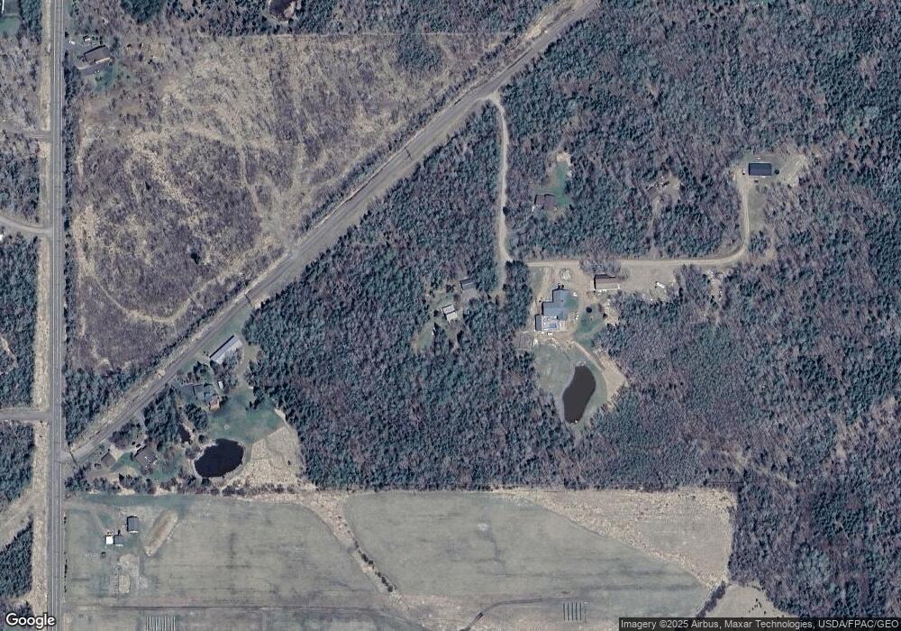
Map
Nearby Homes
- 63xx Homestead Rd
- TBD Homestead Rd
- 5797 N Shore Dr
- 1753 Old North Shore Rd
- 5722 Homestead Rd
- 637 Hawk Hill Rd
- XX Olson Rd
- 1229 W Knife River Rd
- 5616 Mcquade Rd
- TBD Scenic Dr
- 540 Old North Shore Rd Unit Cabin 5 Share 1
- 3-540 Old North Shore Rd Unit Cabin 3 Share 4
- 4-540 Old North Shore Rd Unit Cabin 4 Share 4
- XXXX E Pioneer Rd Unit 6294 E Pioneer Jct R
- 55xx Cant Rd
- 5257 Greenwood Rd
- 6048 Lakewood Rd
- 969 Deerview Ln
- 5227 Greenwood Rd
- X Stanley Rd
- 6171 Deerview Trail
- 6163 Deerview Trail
- 6163 Deerview Trail
- 6180 Deerview Trail
- 6180 Deerview Trail
- 13xx Homestead Dr
- XXXX Homestead Dr
- 1xxxx Homestead Dr
- 15xx Homestead Dr
- 1539 Homestead Dr
- 1584 Homestead Dr
- 6152 Homestead Rd
- 1594 Homestead Dr
- 6148 Deerview Trail
- 6198 Homestead Rd
- 1538 Homestead Dr
- 6210 Homestead Rd
- 1532 Homestead Dr
- 6189 Homestead Rd
- 6205 Homestead Rd