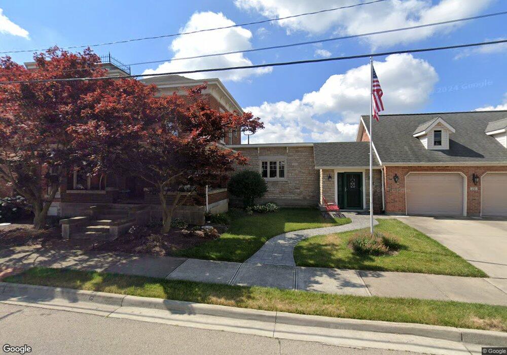
6172 N Mulberry Grv Rake Rd Covington, OH 45318
Estimated Value: $189,000 - $269,000
2
Beds
1
Bath
1,503
Sq Ft
$159/Sq Ft
Est. Value
About This Home
This home is located at 6172 N Mulberry Grv Rake Rd, Covington, OH 45318 and is currently estimated at $239,193, approximately $159 per square foot. 6172 N Mulberry Grv Rake Rd is a home located in Miami County with nearby schools including Covington Elementary/Junior High School, Covington Junior High School, and Covington High School.
Ownership History
Date
Name
Owned For
Owner Type
Purchase Details
Closed on
Apr 15, 2022
Sold by
Brant Thomas L and Brant Sonya J
Bought by
Brant Thomas L and Brant Sonya J
Current Estimated Value
Home Financials for this Owner
Home Financials are based on the most recent Mortgage that was taken out on this home.
Original Mortgage
$182,400
Outstanding Balance
$170,593
Interest Rate
3.85%
Mortgage Type
New Conventional
Estimated Equity
$68,600
Purchase Details
Closed on
Oct 19, 2012
Sold by
Starrett Shaun S and Feight Jessica R
Bought by
Starrett Shaun S
Home Financials for this Owner
Home Financials are based on the most recent Mortgage that was taken out on this home.
Original Mortgage
$134,004
Interest Rate
3.36%
Mortgage Type
FHA
Purchase Details
Closed on
Mar 2, 2010
Sold by
Louderback Jack M
Bought by
Starrett Shaun S and Feight Jessica R
Home Financials for this Owner
Home Financials are based on the most recent Mortgage that was taken out on this home.
Original Mortgage
$127,551
Interest Rate
5.11%
Mortgage Type
Purchase Money Mortgage
Create a Home Valuation Report for This Property
The Home Valuation Report is an in-depth analysis detailing your home's value as well as a comparison with similar homes in the area
Home Values in the Area
Average Home Value in this Area
Purchase History
| Date | Buyer | Sale Price | Title Company |
|---|---|---|---|
| Brant Thomas L | -- | Hallmark Title | |
| Starrett Shaun S | -- | Attorney | |
| Starrett Shaun S | $125,000 | -- |
Source: Public Records
Mortgage History
| Date | Status | Borrower | Loan Amount |
|---|---|---|---|
| Open | Brant Thomas L | $182,400 | |
| Previous Owner | Starrett Shaun S | $134,004 | |
| Previous Owner | Starrett Shaun S | $127,551 |
Source: Public Records
Tax History Compared to Growth
Tax History
| Year | Tax Paid | Tax Assessment Tax Assessment Total Assessment is a certain percentage of the fair market value that is determined by local assessors to be the total taxable value of land and additions on the property. | Land | Improvement |
|---|---|---|---|---|
| 2024 | $1,914 | $57,230 | $13,650 | $43,580 |
| 2023 | $1,914 | $57,230 | $13,650 | $43,580 |
| 2022 | $1,939 | $57,230 | $13,650 | $43,580 |
| 2021 | $1,598 | $44,030 | $10,500 | $33,530 |
| 2020 | $1,602 | $44,030 | $10,500 | $33,530 |
| 2019 | $1,597 | $44,030 | $10,500 | $33,530 |
| 2018 | $1,415 | $39,660 | $9,490 | $30,170 |
| 2017 | $1,443 | $39,660 | $9,490 | $30,170 |
| 2016 | $1,386 | $39,660 | $9,490 | $30,170 |
| 2015 | $1,314 | $37,420 | $8,960 | $28,460 |
| 2014 | $1,314 | $37,420 | $8,960 | $28,460 |
| 2013 | $1,321 | $37,420 | $8,960 | $28,460 |
Source: Public Records
Map
Nearby Homes
- 698 E Broadway St
- 271 N Ludlow St
- 520 N Pearl St
- 731 N Pearl St
- 501 N Main St Unit C1
- 00 W Piqua Clay Rd
- 223 Henry Ct
- 124 N Main St
- 133 W Broadway St
- 212 Charles Ct
- 210 Charles Ct
- 207 Charles Ct
- 208 Charles Ct
- 205 Charles Ct
- 206 Charles Ct
- 204 Charles Ct
- 221 S High St
- 219 Henry Ct
- 221 Henry Ct
- 203 Charles Ct
- 6172 N Mlberry Grove Rakestr Rd
- 6172 N Mlbry Grv Rkstrw Rd
- 6172 N Mulberry Grove Rakestraw Rd
- 6172 Mulberry Grove-Rakestraw Rd
- 6515 U S 36
- 6473 W Us Route 36
- 6245 W Us Route 36
- 6515 W Us Route 36
- 6335 W Us Route 36
- 6373 W Us Route 36
- 6545 W Us Route 36
- 6565 W Us Route 36
- 6565 U S 36
- 6125 Rakestraw Rd
- 6581 W Us Route 36
- 6581 W Us Route 36
- 6591 U S 36
- 6591 W Us Route 36
- 6609 W Us Route 36
- 6637 W Us Route 36