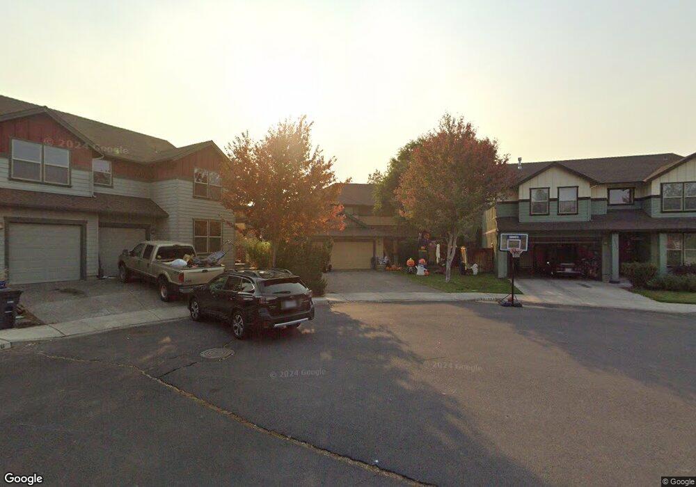
61725 Joan Ct Bend, OR 97702
Larkspur NeighborhoodEstimated Value: $539,000 - $625,000
3
Beds
3
Baths
1,980
Sq Ft
$295/Sq Ft
Est. Value
About This Home
This home is located at 61725 Joan Ct, Bend, OR 97702 and is currently estimated at $583,232, approximately $294 per square foot. 61725 Joan Ct is a home located in Deschutes County with nearby schools including Bear Creek Elementary School, Bend Senior High School, and Eastmont Community School.
Ownership History
Date
Name
Owned For
Owner Type
Purchase Details
Closed on
Oct 21, 2010
Sold by
Federal Home Loan Mortgage Corporation
Bought by
Held Derald W and Held Donna M
Current Estimated Value
Purchase Details
Closed on
Jul 27, 2010
Sold by
Beard Mark A and Beard Deborah K
Bought by
Federal Home Loan Mortgage Corp
Purchase Details
Closed on
Mar 13, 2006
Sold by
Don Morissette Homes Inc
Bought by
Beard Mark A and Beard Deborah K
Home Financials for this Owner
Home Financials are based on the most recent Mortgage that was taken out on this home.
Original Mortgage
$256,345
Interest Rate
5.87%
Mortgage Type
Fannie Mae Freddie Mac
Create a Home Valuation Report for This Property
The Home Valuation Report is an in-depth analysis detailing your home's value as well as a comparison with similar homes in the area
Home Values in the Area
Average Home Value in this Area
Purchase History
| Date | Buyer | Sale Price | Title Company |
|---|---|---|---|
| Held Derald W | $156,000 | Amerititle | |
| Federal Home Loan Mortgage Corp | $165,731 | Accommodation | |
| Beard Mark A | $320,432 | First Amer Title Ins Co Or |
Source: Public Records
Mortgage History
| Date | Status | Borrower | Loan Amount |
|---|---|---|---|
| Previous Owner | Beard Mark A | $256,345 |
Source: Public Records
Tax History Compared to Growth
Tax History
| Year | Tax Paid | Tax Assessment Tax Assessment Total Assessment is a certain percentage of the fair market value that is determined by local assessors to be the total taxable value of land and additions on the property. | Land | Improvement |
|---|---|---|---|---|
| 2025 | $3,499 | $207,060 | -- | -- |
| 2024 | $3,366 | $201,030 | -- | -- |
| 2023 | $3,120 | $195,180 | $0 | $0 |
| 2022 | $2,911 | $183,990 | $0 | $0 |
| 2021 | $2,916 | $178,640 | $0 | $0 |
| 2020 | $2,766 | $178,640 | $0 | $0 |
| 2019 | $2,689 | $173,440 | $0 | $0 |
| 2018 | $2,613 | $168,390 | $0 | $0 |
| 2017 | $2,537 | $163,490 | $0 | $0 |
| 2016 | $2,419 | $158,730 | $0 | $0 |
| 2015 | $2,352 | $154,110 | $0 | $0 |
| 2014 | $2,283 | $149,630 | $0 | $0 |
Source: Public Records
Map
Nearby Homes
- 61730 Joan Ct
- 21154 Ritz Place
- 61683 Daly Estates Dr
- 21177 Ritz Place
- 21176 Desert Skies Place
- 21035 Clairaway Ave
- 61807 SE Rolo Ct
- 61635 Daly Estates Dr Unit 17
- 61620 Daly Estates Dr
- 21116 SE Reed Market Rd
- 21130 SE Reed Market Rd
- 20960 Gardenia Ave
- 61839 Avonlea Cir
- 61839 SE 27th St
- 61635 Pettigrew Rd Unit 12
- 61847 SE 27th St
- 61704 Marigold Ln
- 61698 Rigel Way
- 61648 Gemini Way
- 1843 SE Moorwood Ct
- 61719 Joan Ct
- 61729 Joan Ct
- 21102 Bayou Dr
- 61720 Joan Ct
- 15 Joan Ct
- 39 Clairaway Ave
- 61726 Joan Ct
- 21108 Clairaway Ave
- 21112 Clairaway Ave
- 21090 Bayou Dr
- 21089 Clairaway Ave
- 21116 Clairaway Ave
- 21120 Clairaway Ave
- 21092 Clairaway Ave
- 21120 Bayou Dr
- 21131 Clairaway Ave
- 61736 Pettigrew Rd
- 21109 Bayou Dr
- 21124 Clairaway Ave
- 21081 Clairaway Ave