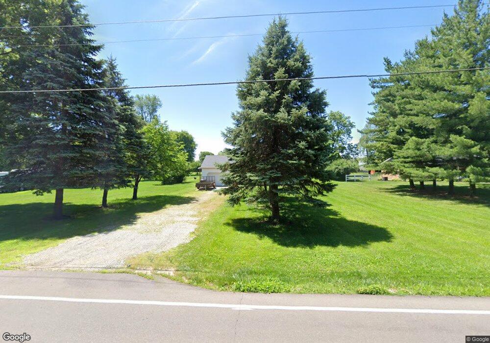
6175 Hankins Rd Middletown, OH 45044
Estimated Value: $311,000 - $453,000
4
Beds
3
Baths
1,766
Sq Ft
$208/Sq Ft
Est. Value
About This Home
This home is located at 6175 Hankins Rd, Middletown, OH 45044 and is currently estimated at $367,614, approximately $208 per square foot. 6175 Hankins Rd is a home located in Butler County with nearby schools including VanGorden Elementary School, Liberty Junior School, and Lakota East High School.
Ownership History
Date
Name
Owned For
Owner Type
Purchase Details
Closed on
Dec 26, 2017
Sold by
Barnthouse Victoria S
Bought by
Mcvey Christopher Jay
Current Estimated Value
Home Financials for this Owner
Home Financials are based on the most recent Mortgage that was taken out on this home.
Original Mortgage
$76,000
Outstanding Balance
$64,102
Interest Rate
3.92%
Mortgage Type
New Conventional
Estimated Equity
$303,512
Create a Home Valuation Report for This Property
The Home Valuation Report is an in-depth analysis detailing your home's value as well as a comparison with similar homes in the area
Home Values in the Area
Average Home Value in this Area
Purchase History
| Date | Buyer | Sale Price | Title Company |
|---|---|---|---|
| Mcvey Christopher Jay | $80,000 | Republic Title Agency Inc |
Source: Public Records
Mortgage History
| Date | Status | Borrower | Loan Amount |
|---|---|---|---|
| Open | Mcvey Christopher Jay | $76,000 |
Source: Public Records
Tax History Compared to Growth
Tax History
| Year | Tax Paid | Tax Assessment Tax Assessment Total Assessment is a certain percentage of the fair market value that is determined by local assessors to be the total taxable value of land and additions on the property. | Land | Improvement |
|---|---|---|---|---|
| 2024 | $3,149 | $80,650 | $17,350 | $63,300 |
| 2023 | $3,110 | $80,650 | $17,350 | $63,300 |
| 2022 | $2,990 | $60,750 | $17,350 | $43,400 |
| 2021 | $2,975 | $60,750 | $17,350 | $43,400 |
| 2020 | $3,124 | $62,190 | $17,350 | $44,840 |
| 2019 | $5,333 | $55,360 | $17,350 | $38,010 |
| 2018 | $3,181 | $55,360 | $17,350 | $38,010 |
| 2017 | $3,229 | $55,360 | $17,350 | $38,010 |
| 2016 | $2,909 | $49,310 | $17,350 | $31,960 |
| 2015 | $2,907 | $49,310 | $17,350 | $31,960 |
| 2014 | $3,036 | $49,310 | $17,350 | $31,960 |
| 2013 | $3,036 | $50,980 | $15,950 | $35,030 |
Source: Public Records
Map
Nearby Homes
- 4873 Mauds Hughes Rd
- 5051 Cavendish Dr
- 925 Morgan Dr
- 203 Shyla Ct
- 5905 Brunswick Ct
- STRATTON Plan at Estates of Monroe Crossings
- VALE Plan at Estates of Monroe Crossings
- VANDERBURGH Plan at Estates of Monroe Crossings
- PARKETTE Plan at Estates of Monroe Crossings
- LYNDHURST Plan at Estates of Monroe Crossings
- BUCHANAN Plan at Estates of Monroe Crossings
- SHELBURN Plan at Estates of Monroe Crossings
- ALDEN Plan at Estates of Monroe Crossings
- BENNETT Plan at Estates of Monroe Crossings
- QUENTIN Plan at Estates of Monroe Crossings
- 5798 Roden Park Dr
- 511 Shawn Dr
- 2064 Bridgewater Ln
- 390 David Lee Ct
- 389 David Lee Ct
- 6187 Hankins Rd
- 6163 Hankins Rd
- 0 Hankins Rd
- 6151 Hankins Rd
- 35 Maud Hughes Rd
- 6182 Hankins Rd
- 6192 Hankins Rd
- 6168 Hankins Rd
- 4800 Maud Hughes Rd
- 6210 Hankins Rd
- 6143 Hankins Rd
- 6154 Dawson Dr
- 4861 Maud Hughes Rd
- 6156 Hankins Rd
- 4861 Mauds Hughes Rd
- 6144 Dawson Dr
- 6144 Dawson Dr
- 6134 Dawson Dr
- 6123 Hankins Rd
- 6124 Dawson Dr