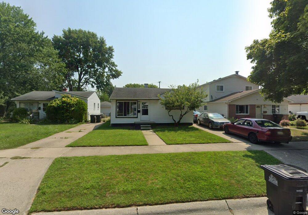
6175 Michael St Taylor, MI 48180
Estimated Value: $89,000 - $132,000
Studio
--
Bath
672
Sq Ft
$161/Sq Ft
Est. Value
About This Home
This home is located at 6175 Michael St, Taylor, MI 48180 and is currently estimated at $108,376, approximately $161 per square foot. 6175 Michael St is a home located in Wayne County with nearby schools including Taylor Parks Elementary School, Hoover Middle School, and Quest Charter Academy.
Ownership History
Date
Name
Owned For
Owner Type
Purchase Details
Closed on
Dec 5, 2024
Sold by
Beesley Norman
Bought by
Plohg Brady
Current Estimated Value
Home Financials for this Owner
Home Financials are based on the most recent Mortgage that was taken out on this home.
Original Mortgage
$77,600
Outstanding Balance
$76,960
Interest Rate
6.54%
Mortgage Type
New Conventional
Estimated Equity
$31,416
Purchase Details
Closed on
Oct 6, 2022
Sold by
Mccumber Carrie Ann
Bought by
Beesley Norman
Purchase Details
Closed on
Nov 1, 2021
Sold by
Mccumber Carrie Ann and Andrews Cyress Jean
Bought by
Mccumber Carrie
Purchase Details
Closed on
Jun 16, 2015
Sold by
Andrews Cyress Jean
Bought by
Andrews Cyress Jean and Mccumber Carrie Ann
Purchase Details
Closed on
Oct 26, 2001
Sold by
Vance Jeffrey L
Bought by
Andrews Cyress J
Create a Home Valuation Report for This Property
The Home Valuation Report is an in-depth analysis detailing your home's value as well as a comparison with similar homes in the area
Home Values in the Area
Average Home Value in this Area
Purchase History
| Date | Buyer | Sale Price | Title Company |
|---|---|---|---|
| Plohg Brady | $80,000 | None Listed On Document | |
| Plohg Brady | $80,000 | None Listed On Document | |
| Beesley Norman | -- | -- | |
| Mccumber Carrie | -- | None Available | |
| Andrews Cyress Jean | -- | None Available | |
| Andrews Cyress J | -- | -- |
Source: Public Records
Mortgage History
| Date | Status | Borrower | Loan Amount |
|---|---|---|---|
| Open | Plohg Brady | $77,600 | |
| Closed | Plohg Brady | $77,600 |
Source: Public Records
Tax History
| Year | Tax Paid | Tax Assessment Tax Assessment Total Assessment is a certain percentage of the fair market value that is determined by local assessors to be the total taxable value of land and additions on the property. | Land | Improvement |
|---|---|---|---|---|
| 2025 | $1,825 | $42,000 | $0 | $0 |
| 2024 | $745 | $38,300 | $0 | $0 |
| 2023 | $904 | $32,700 | $0 | $0 |
| 2022 | $991 | $29,900 | $0 | $0 |
| 2021 | $792 | $25,500 | $0 | $0 |
| 2020 | $784 | $22,000 | $0 | $0 |
| 2019 | $78,213 | $18,800 | $0 | $0 |
| 2018 | $611 | $15,100 | $0 | $0 |
| 2017 | $351 | $14,800 | $0 | $0 |
| 2016 | $766 | $14,400 | $0 | $0 |
| 2015 | $1,380 | $13,800 | $0 | $0 |
| 2013 | $1,700 | $17,500 | $0 | $0 |
| 2012 | $740 | $17,100 | $7,800 | $9,300 |
Source: Public Records
Map
Nearby Homes
- 6065 Vivian St
- 6020 Vivian St
- 5936 Westlake St
- 5904 Janet St
- 5842 Janet St
- 5845 Beech Daly Rd
- 6143 Mcguire St
- 6055 Bailey St
- 6363 Mcguire St
- 25908 Beverly Rd
- 6420 Burr St
- 25004 Powers Ave
- 6179 Fellrath St
- 6605 Bailey St
- 6042 Banner St
- 5952 Banner St
- 6430 Banner St
- 5843 Banner St
- 6713 Mcguire St
- 25965 Currier St
- 6163 Michael St
- 6185 Michael St
- 6197 Michael St
- 6162 Vivian St
- 6143 Michael St
- 6184 Vivian St
- 6150 Vivian St
- 6123 Michael St
- 6196 Vivian St
- 6136 Michael St
- 6174 Michael St
- 6192 Michael St
- 6130 Michael St
- 6083 Michael St
- 6122 Vivian St
- 6080 Vivian St
- 6122 Michael St
- 6175 Vivian St
- 6230 Michael St
- 6082 Michael St