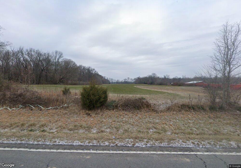
6179 Scottsville Rd Lafayette, TN 37083
Estimated Value: $408,000 - $951,000
--
Bed
1
Bath
1,696
Sq Ft
$408/Sq Ft
Est. Value
About This Home
This home is located at 6179 Scottsville Rd, Lafayette, TN 37083 and is currently estimated at $691,282, approximately $407 per square foot. 6179 Scottsville Rd is a home located in Macon County.
Ownership History
Date
Name
Owned For
Owner Type
Purchase Details
Closed on
Jul 24, 2006
Sold by
Driver Clyde J
Bought by
Shawn Stinson
Current Estimated Value
Home Financials for this Owner
Home Financials are based on the most recent Mortgage that was taken out on this home.
Original Mortgage
$250,000
Outstanding Balance
$148,665
Interest Rate
6.68%
Mortgage Type
Cash
Estimated Equity
$542,617
Purchase Details
Closed on
Sep 19, 1988
Bought by
Driver Clyde J
Purchase Details
Closed on
Aug 25, 1972
Bought by
Driver Clyde J
Create a Home Valuation Report for This Property
The Home Valuation Report is an in-depth analysis detailing your home's value as well as a comparison with similar homes in the area
Home Values in the Area
Average Home Value in this Area
Purchase History
| Date | Buyer | Sale Price | Title Company |
|---|---|---|---|
| Shawn Stinson | $350,000 | -- | |
| Driver Clyde J | -- | -- | |
| Driver Clyde J | -- | -- |
Source: Public Records
Mortgage History
| Date | Status | Borrower | Loan Amount |
|---|---|---|---|
| Open | Driver Clyde J | $250,000 |
Source: Public Records
Tax History Compared to Growth
Tax History
| Year | Tax Paid | Tax Assessment Tax Assessment Total Assessment is a certain percentage of the fair market value that is determined by local assessors to be the total taxable value of land and additions on the property. | Land | Improvement |
|---|---|---|---|---|
| 2024 | $1,321 | $115,575 | $24,925 | $90,650 |
| 2023 | $1,321 | $113,050 | $0 | $0 |
| 2022 | $1,301 | $54,200 | $19,375 | $34,825 |
| 2021 | $1,301 | $54,200 | $19,375 | $34,825 |
| 2020 | $1,301 | $54,200 | $19,375 | $34,825 |
| 2019 | $1,301 | $54,200 | $19,375 | $34,825 |
| 2018 | $1,199 | $54,200 | $19,375 | $34,825 |
| 2017 | $1,205 | $47,800 | $17,625 | $30,175 |
| 2016 | $1,147 | $47,800 | $17,625 | $30,175 |
| 2015 | $1,147 | $47,800 | $17,625 | $30,175 |
| 2014 | $1,147 | $47,801 | $0 | $0 |
Source: Public Records
Map
Nearby Homes
- 1243 Cave Hill Rd
- 7559 Scottsville Rd
- 754 Sparrow Rd
- 923 White Springs Rd
- 5110 White Springs Ln
- 5128 White Springs Ln
- 5252 White Springs Ln
- 0 White Springs Ln
- 2 White Springs Rd
- 114 White Springs Rd
- 0 White Springs Rd Unit RTC2907895
- 400 White Springs Rd
- 165 Pleasant Hill Rd
- 4510 Long Creek Rd
- 4574 Long Creek Rd
- 23 Bandy Rd
- 69 Bandy Rd
- 314 Wind Curve Cir
- 314 Oakmere Ln
- 0 Oakmere Ln Unit RTC2979191
- 6115 Scottsville Rd
- 6176 Scottsville Rd
- 6089 Scottsville Rd
- 6064 Scottsville Rd
- 6038 Scottsville Rd
- 5943 Scottsville Rd
- 5918 Scottsville Rd
- 5900 Scottsville Rd
- 5897 Scottsville Rd
- 5897 Scottsville Rd
- 5897 Scottsville Rd
- 288 Graves Ln
- 95 Pine Ridge Ln
- 95 Pine Ridge Ln
- 6679 Scottsville Rd
- 0 Hires Rd
- 5682 Scottsville Rd
- 111 Hires Rd
- 527 Graves Ln
- 6845 Scottsville Rd
